£2,000.00
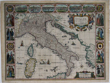
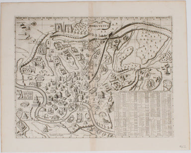
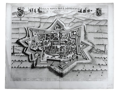
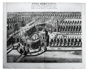
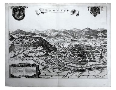
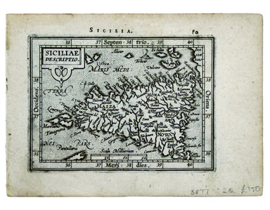
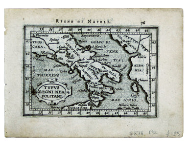
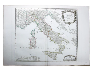
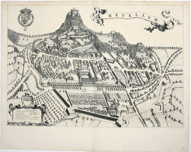
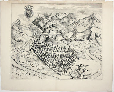
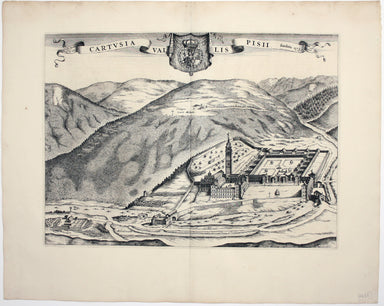
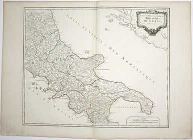
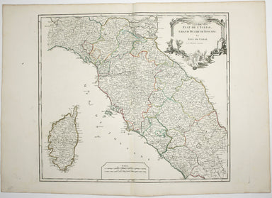
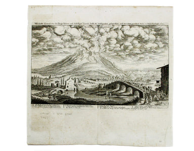
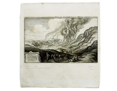
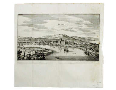
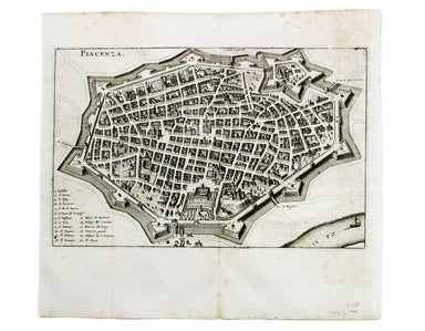
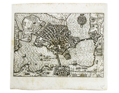
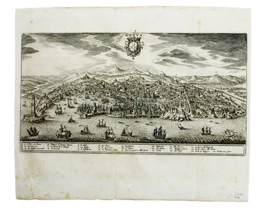
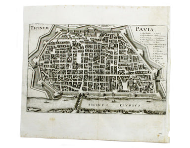
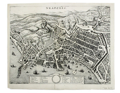
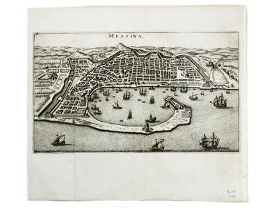
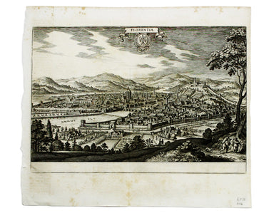
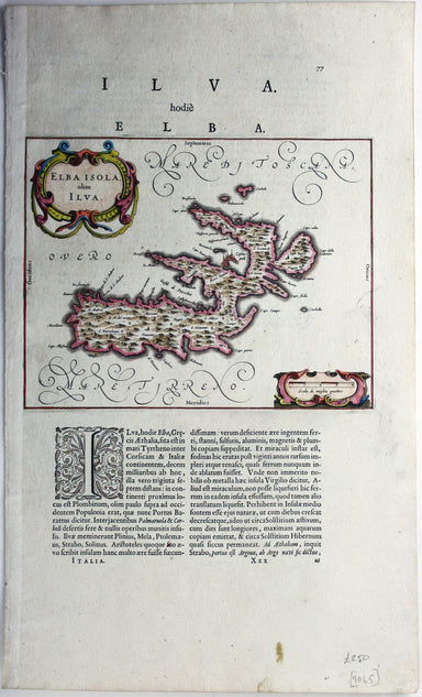
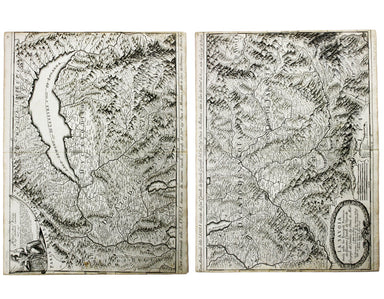
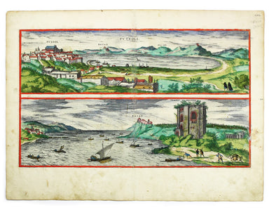
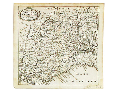
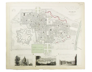
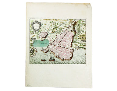
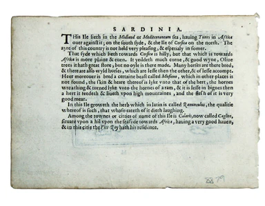
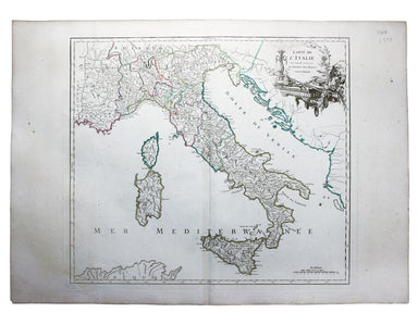
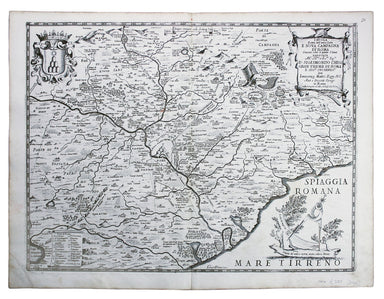
Speed's Carte à Figure of Italy
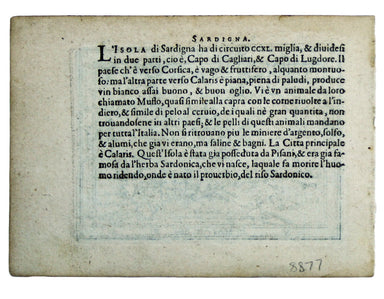
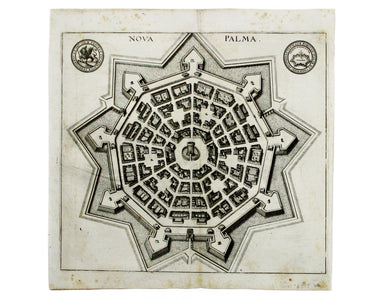
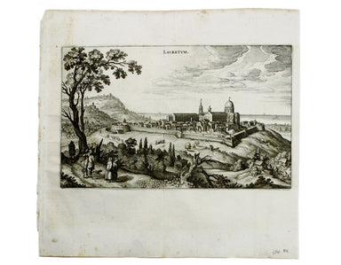
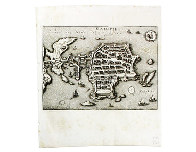
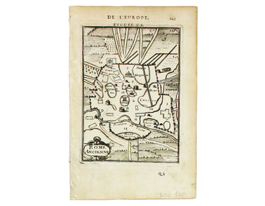
This 'carte à figure' map of Italy includes eight costume vignettes and six city views around the edges, with the coats of arms of Corsica and Sard...
View full details