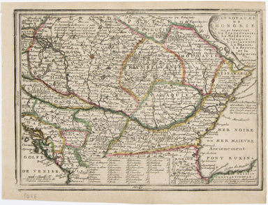
Chiquet’s Map of Hungary & Balkans
Le Royaume de Hongrie, ou se trouvent la Transilvanie, la Moldavie, la Valaquie, la Bosnie la Servie et la Bulgarie, &c Our map of Hungary and ...
View full details

Le Royaume de Hongrie, ou se trouvent la Transilvanie, la Moldavie, la Valaquie, la Bosnie la Servie et la Bulgarie, &c Our map of Hungary and ...
View full details
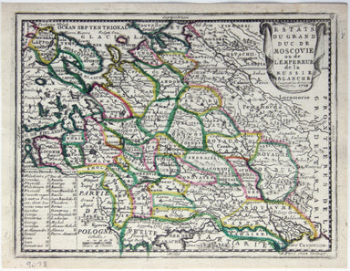
Estats du Grand Duc de Moscovie ou de l’Empereur de la Russie Blanche This map of Muscovy, or European Russia, was published in Chiquet’s ‘Le nouve...
View full details
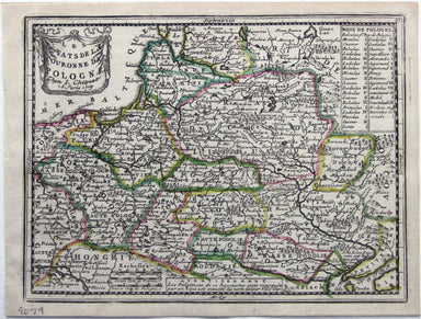
Les estats de la Couronne de Pologne This map of the Crown of the Kingdom of Poland was published in Chiquet’s ‘Le nouveau et curieux atlas géograp...
View full details
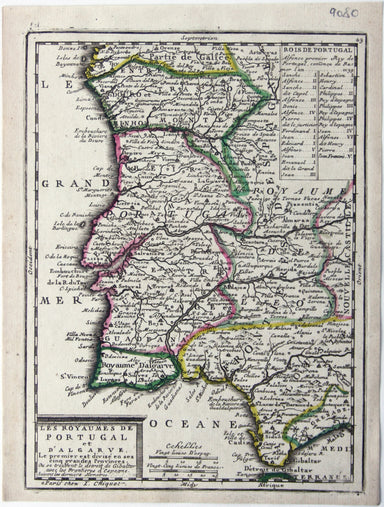
Les Royaumes de Portugal et d’Algarve This map of Portugal was published in Chiquet’s ‘Le nouveau et curieux atlas géographique et historique ...’....
View full details
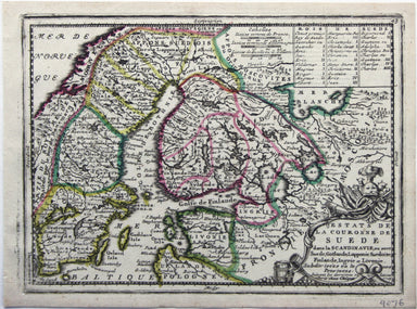
This map shows the Swedish Empire, including Finland and Swedish Livonia. It waspublished in Chiquet’s ‘Le nouveau et curieux atlas géographique et...
View full details
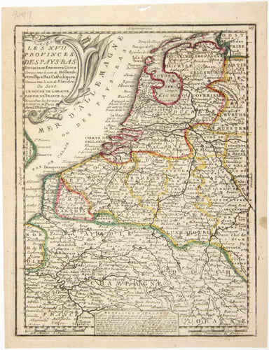
Le XVII Provinces des Pays Bas divisées en Provinces Unies connues sous le nom de Hollande, et en Pays Bas Catholiques connues sous le nom de Fland...
View full details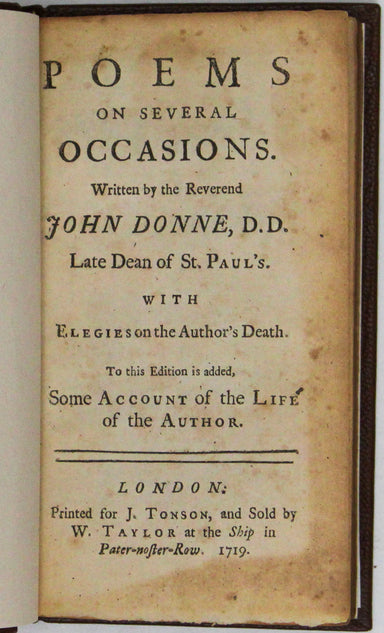

Poems on several occasions. Written by the Reverend John Donne, D. D. Late Dean of St. Paul’s. With elegies on the author’s death. To this edition...
View full details
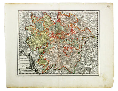
Condition & Materials Copper engraving, 28.5 x 35 cm, original hand-colour map of the Duchy of Lorraine, blank verso.
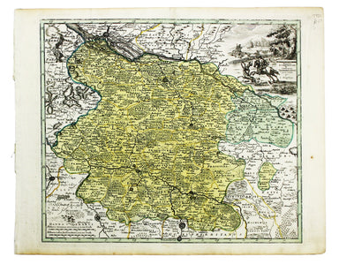
This map of the Principality of Lüneburg incorporates the former County of Dannenberg. The cartouche illustrates a stag hunting scene, perhaps on ...
View full details
