£250.00
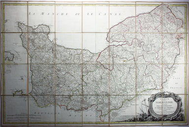
18th Century Folding Map of Normandy
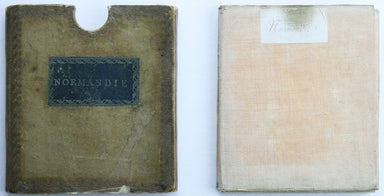
Carte de la Normandie, divisée par Generalités et subdivisée par Elections Condition & Materials Folding map of Normandy, 68 x 102.5 cm, origin...
View full detailsCarte de la Normandie, divisée par Generalités et subdivisée par Elections Condition & Materials Folding map of Normandy, 68 x 102.5 cm, origin...
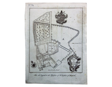
View full detailsPlan of Lambeth Palace 1750… from the original in the possession of Mr Singleton of Lambeth This plan of Lambeth Palace published in Ducarels’s ‘Th...
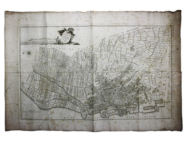
View full detailsA Plan of the Town and Township of Liverpool, from an actual survey taken in the year 1785 by C. Eyes This map of Liverpool was surveyed and publis...
View full details