

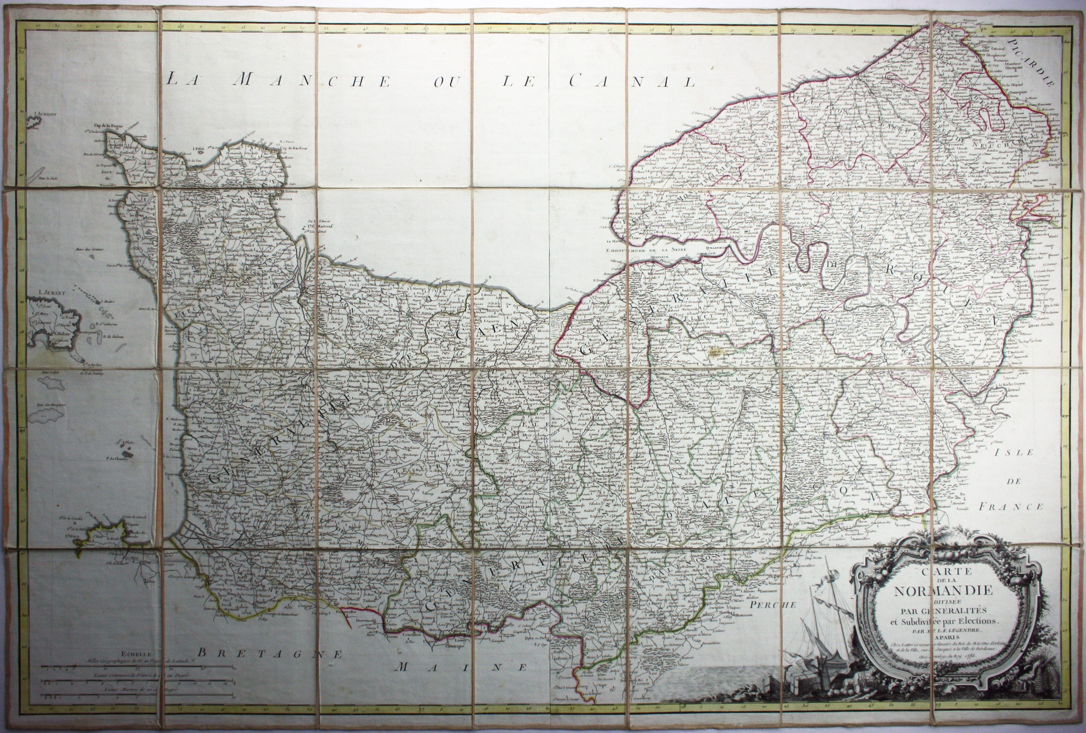
18th Century Folding Map of Normandy
SKU: 9124
Title:
18th Century Folding Map of Normandy
Date of publication:
Printed Measurement:
Publisher:
Colour:
Carte de la Normandie, divisée par Generalités et subdivisée par Elections
Condition & Materials Read more
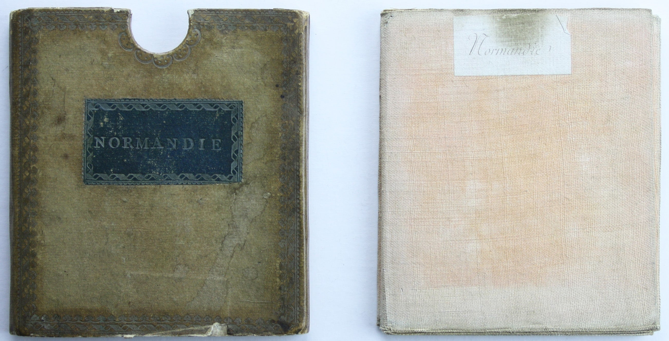
Folding map of Normandy, 68 x 102.5 cm, original hand colour in outline, dissected into 28 panels and laid on linen, folding into vellum slipcase, lacking its base. Decorative cartouche to the lower right, with festoons of flowers and fruits and surrounded by an anchor, barrels and a basket of dead waterfowl, with a ship behind.
References
OCLC: 1063259047
An earlier edition was published in 1777; Worldcat locates only the British Library copy of this version with a revised 1785 date
Read less