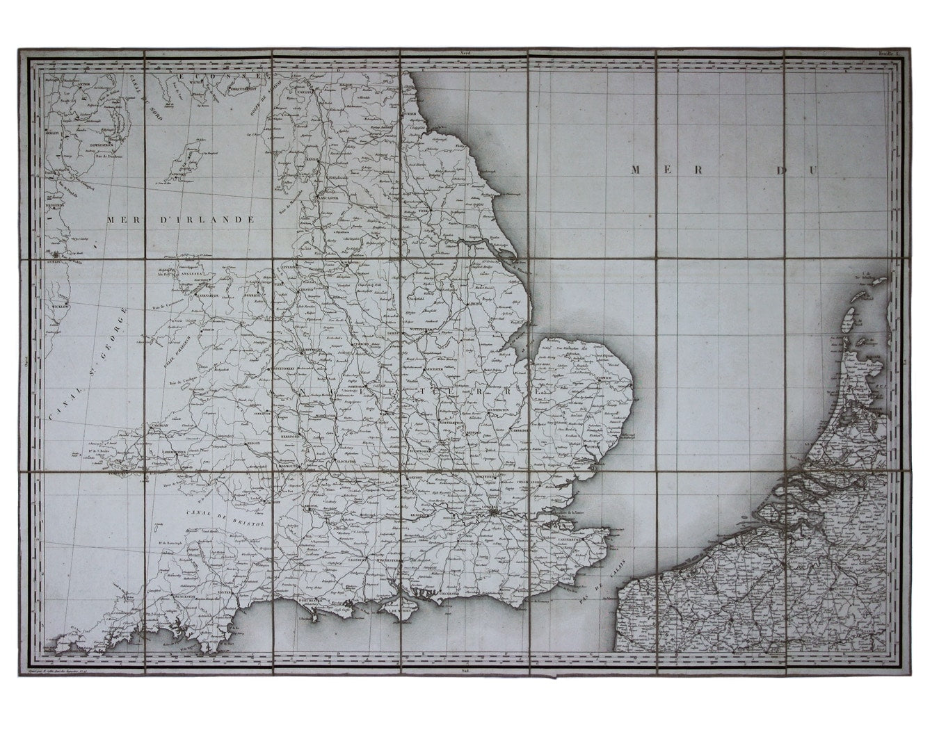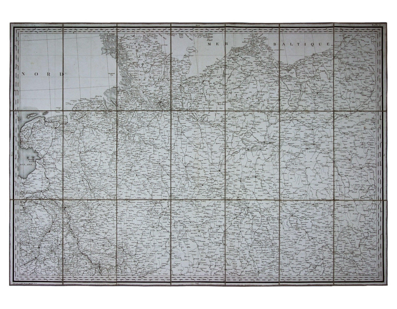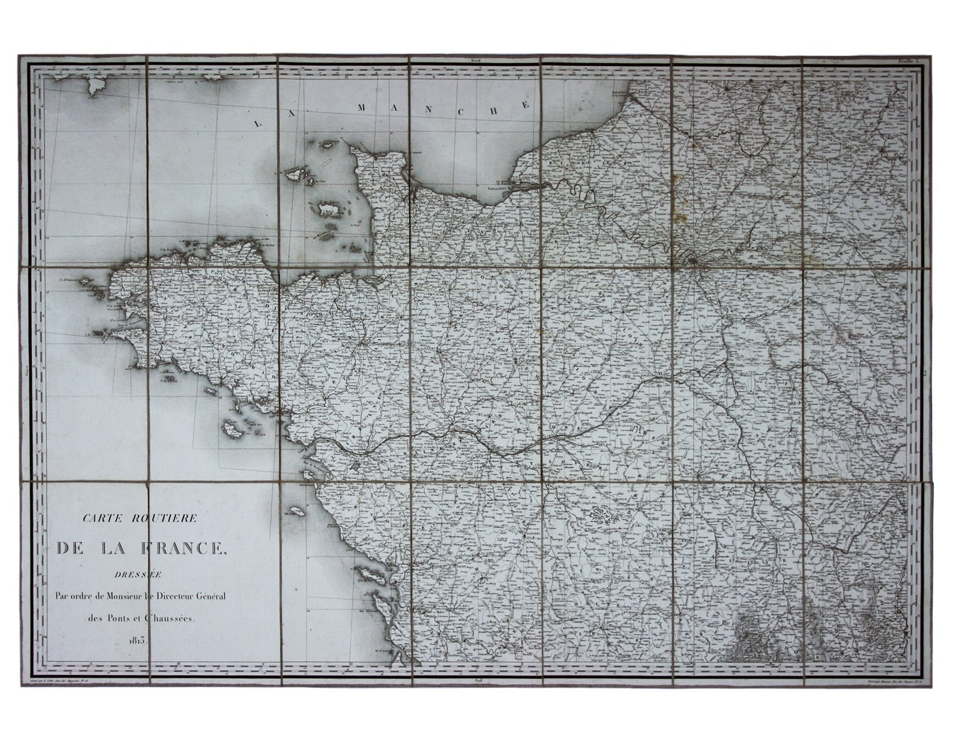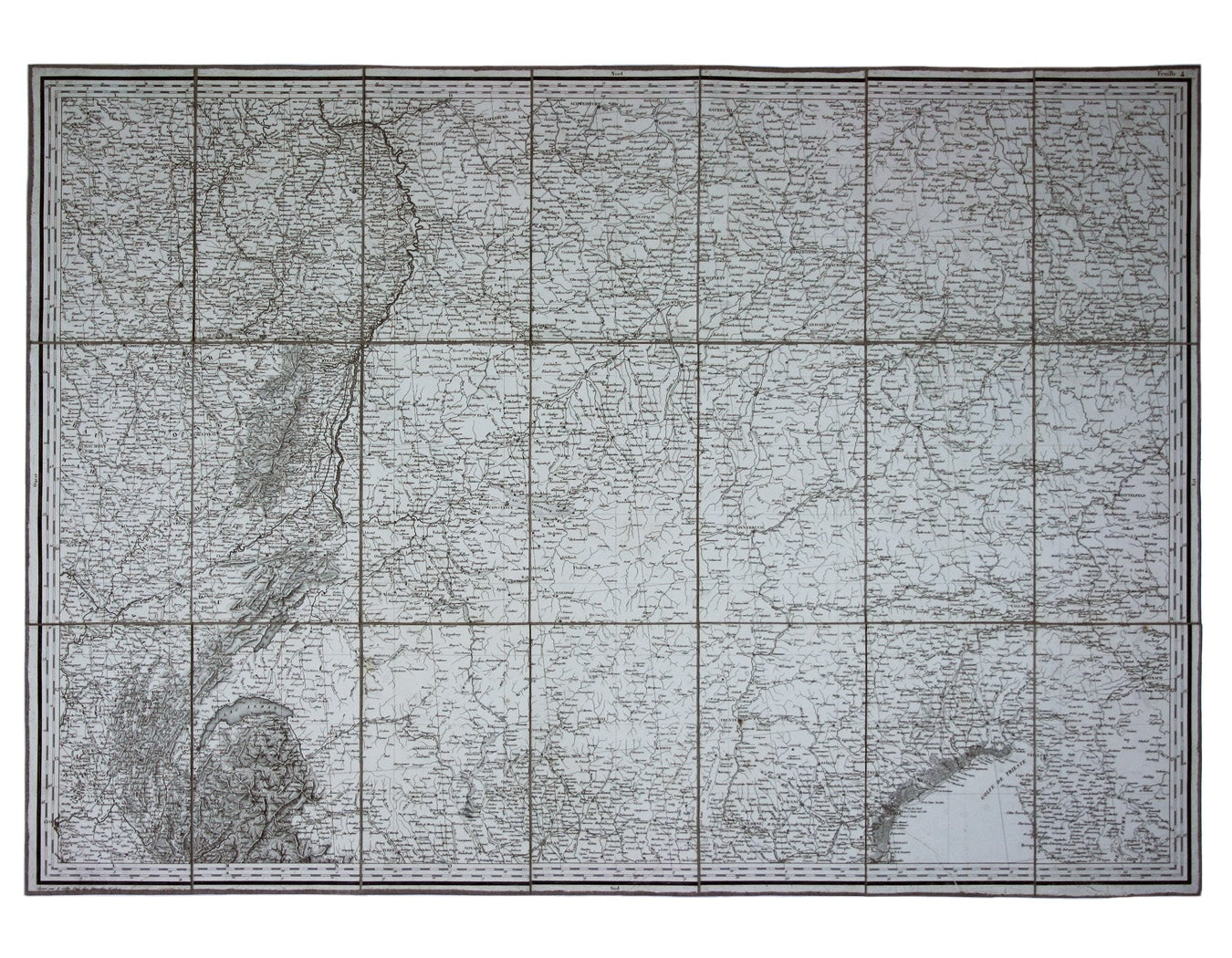
Napoleonic Road Map of France & The First French Empire
SKU: 8587
Title:
Napoleonic Road Map of France & The First French Empire
Date of publication:
Printed Measurement:
Colour:
Mapmaker:
Engraver:
Carte Routière de la France dressée par ordre de Monsieur le Directeur Général des Ponts et Chaussées
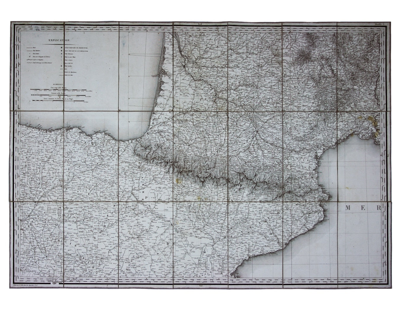
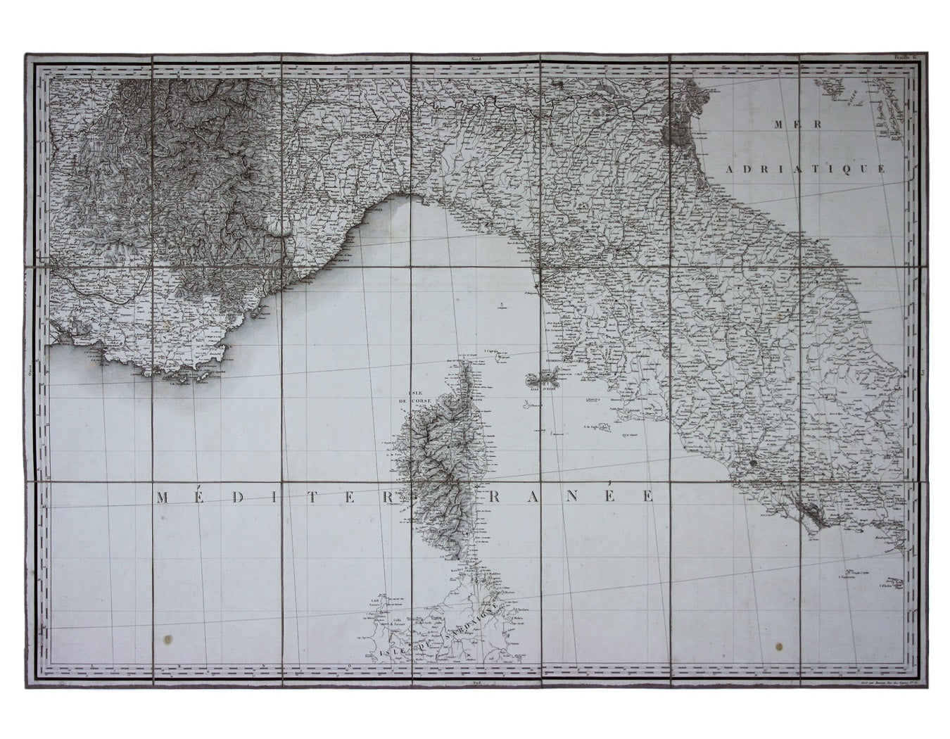
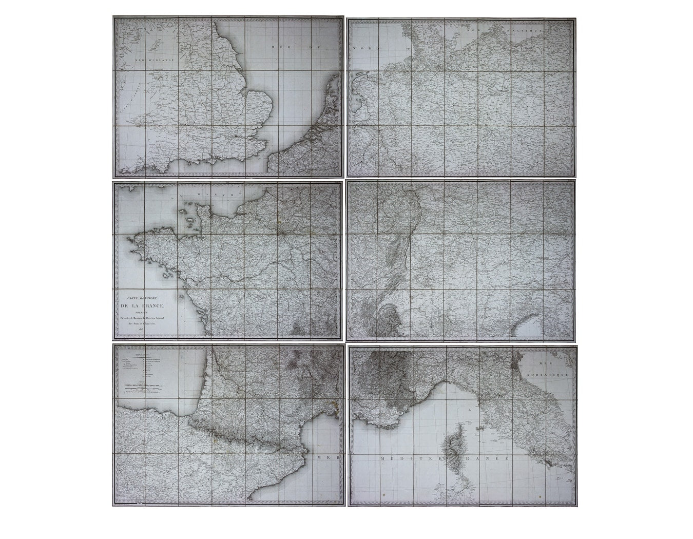
Though described in the title as a road map of France, more accurately it reflects the territorial extent and ambitions of Napoleon’s French Empire, stretching to the Confederation of the Rhine and the Duchy of Warsaw in the east and Madrid and Rome in the south; the former still at this juncture nominally the seat of Napoleon’s brother Joseph, the latter ruled on Napoleon’s behalf by his step-son Eugène de Beauharnais. Read more
The French Departments are carefully delineated and the border between France and Spain is marked, but otherwise there is little emphasis on international boundaries. The map shows roads, ‘routes muletière’ (presumably tracks suitable for pack animals), navigable rivers and canals, settlements of various sizes, forts and fortified towns; on posting roads it marks the posting stations.
Condition & Materials
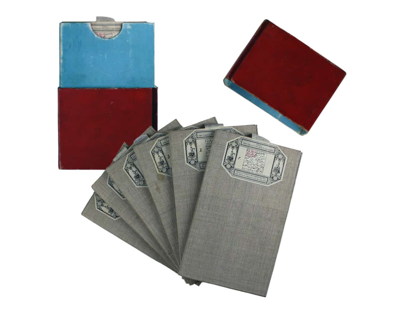
Large engraved map of Europe and the First French Empire in 6 sheets, each approx 66.5 x 94 cm, each dissected into 21 panels and laid on linen, black and white, engraved by E. Collin; each sheet carries pasted labels of Charles Picquet, Paris, with a miniature index map, coloured to identify the relevant sheet; the sheets are also identified by a vellum tab with the title ‘Carte de la France’ and a number from 1 to 6. They are housed within the original publisher’s book-form slipcase, lined with duck-egg blue paper and bound in red straight-grained quarter morocco, gilt-ruled with gilt ornaments and title lettered direct to spine, and with marbled edges. Slight rubbing to slipcase, and the top edge is detached, possibly for ease of removing the maps. Read less


