

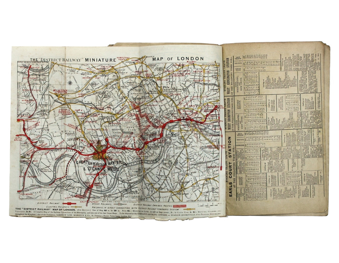
District Railway Map for Greater Britain Exhibition
SKU: 8789
Title:
District Railway Map for Greater Britain Exhibition
Date of publication:
Printed Measurement:
Publisher:
Colour:
Mapmaker:
Engraver:
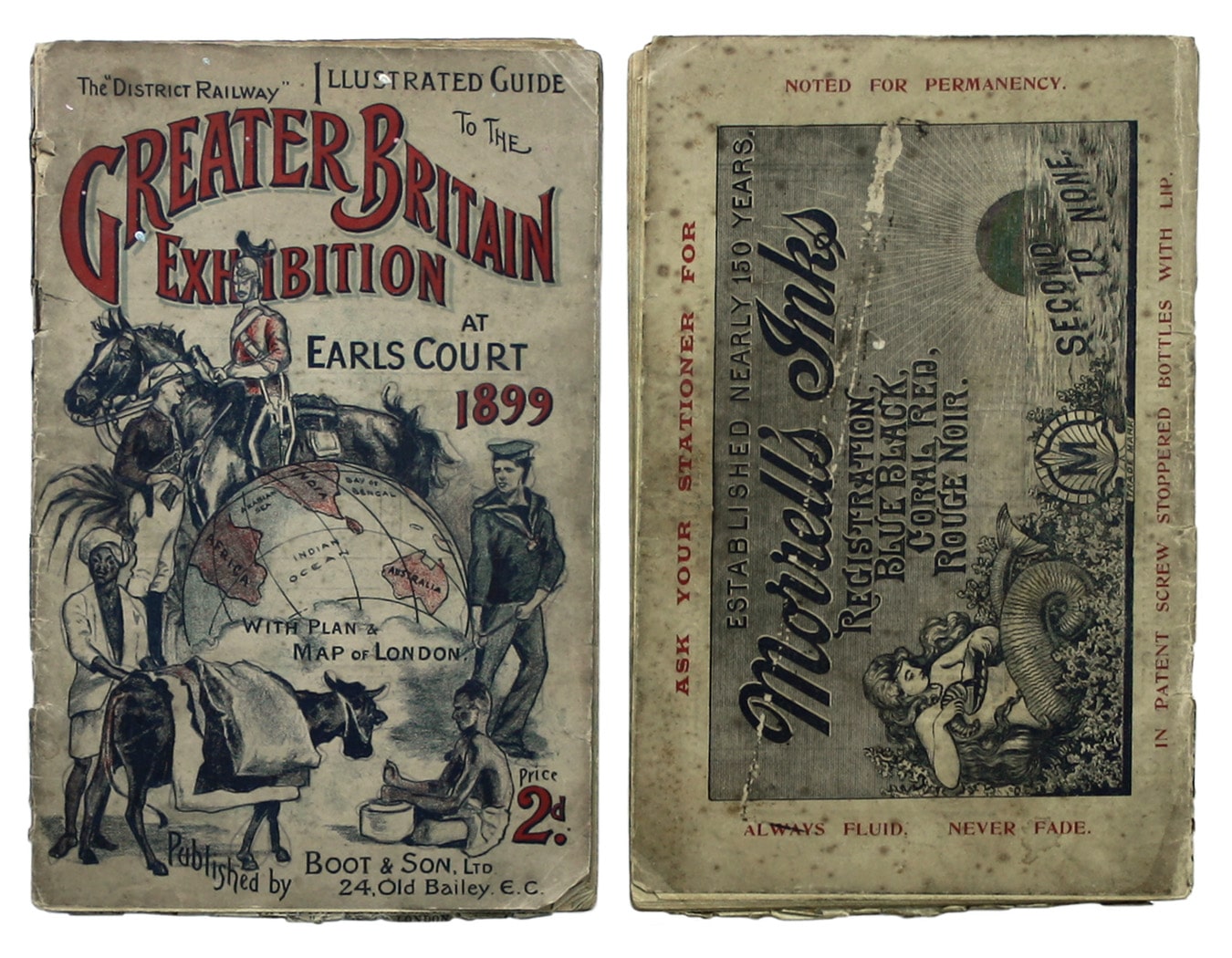
The District Railway Guide to the Greater Britain Exhibition, the Gigantic Wheel, &c, at Earls Court
The Greater Britain Exhibition was one of Imre Kiralfy’s annual spectacles at Earl’s Court. It included a section on picturesque England, the Great Wheel built in 1895 for the Empire of India Exhibition, baby incubators and demonstrations of opium smoking. Read more
However, it was primarily a colonial exhibition featuring reconstructed kraals or villages, ‘where are housed the two-hundred or so Matabele, Swazis and Basutis who have been specially engaged’. There was also a section on gold mining in the Witwatersrand, particularly topical just prior to the outbreak of the second Anglo-Boer War.
Condition & Materials
Illustrated guide book, pp. 54, somewhat browned, colour printed pictorial wrappers, rubbed and worn; ‘The ‘District Railway’ Miniature Map of London’ tipped in, 21 x 27 cm, bottom edge frayed, overprint of Britannia at the festival site, plan of the exhibition and travel information on verso. Read less