

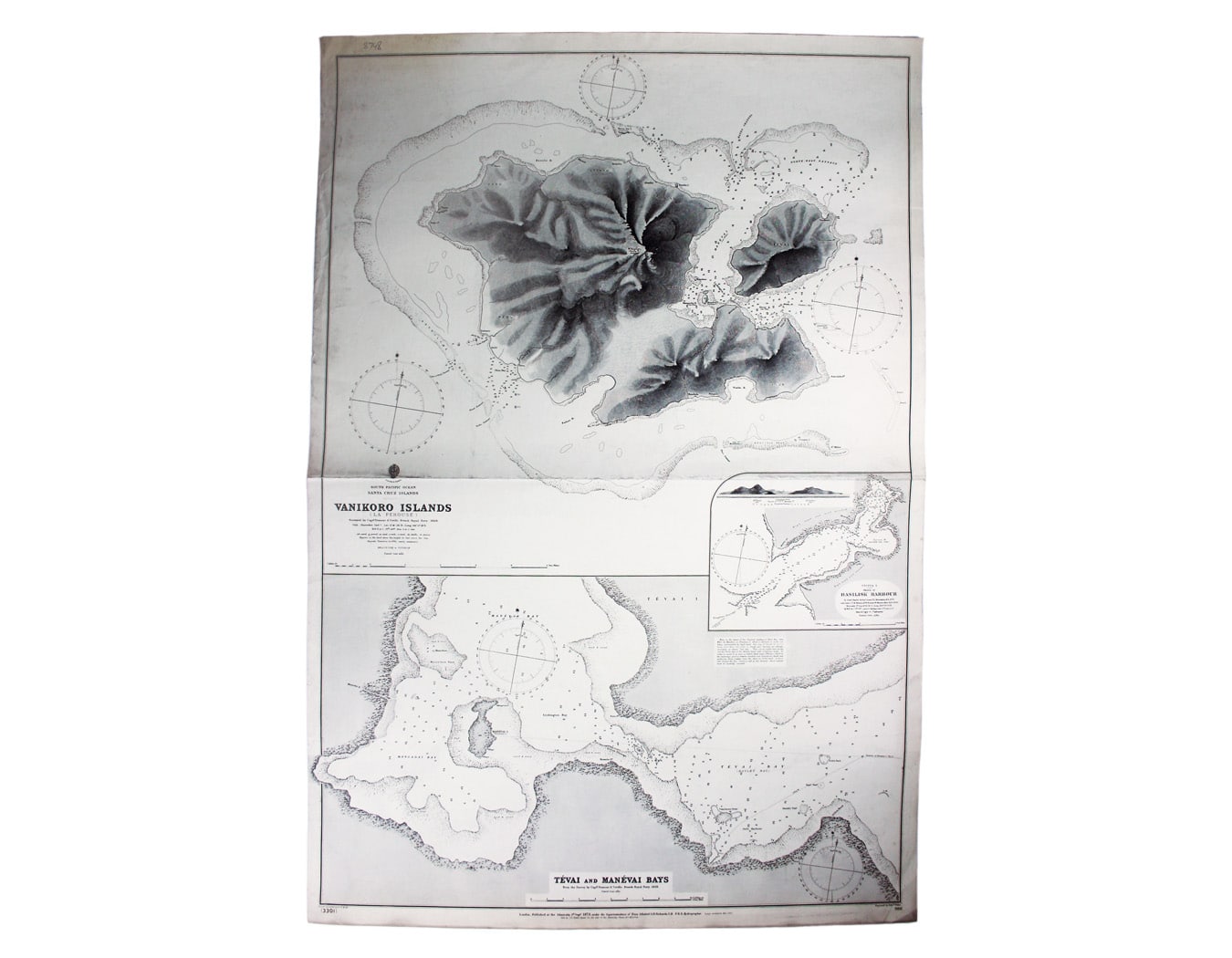

Admiralty Chart of Vanikoro in the South Pacific
SKU: 8748
Title:
Admiralty Chart of Vanikoro in the South Pacific
Date of publication:
Printed Measurement:
Colour:
Mapmaker:
South Pacific Ocean – Santa Cruz Islands – Vanikoro Islands (La Pérouse)
This British chart of Vanikoro was first published in 1873, with corrections to March 1901. Read more
The French explorer Jean-François de La Pérouse and the crews of his two vessels were stranded on Vanikoro in 1788, and all ultimately perished. The fate of the expedition remained a mystery until 1826.
Condition & Materials
Sheet size 69 x 103 cm, black and white, engraved by Edward Weller, centrefold, a little dusty; shows soundings etc, with interior detail of relief.
A Note on Shipping
Shipping rates are not available for this item. Select ‘pick up’ at checkout to collect it from the shop, or contact us for a custom quote. We will email you an invoice for the item price plus shipping, and you can complete the transaction securely online. Read less