Lewis’ Quad Royal Trolleybus Map of London
SKU: 9023
Title:
Lewis’ Quad Royal Trolleybus Map of London
Date of publication:
Printed Measurement:
Publisher:
Colour:
Mapmaker:
Clang, clang, clang went the trolley…
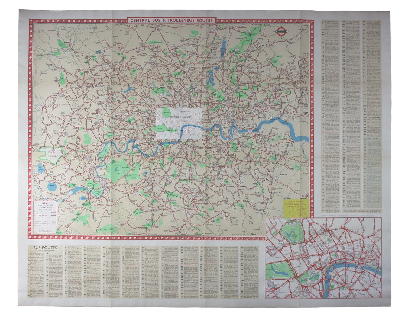
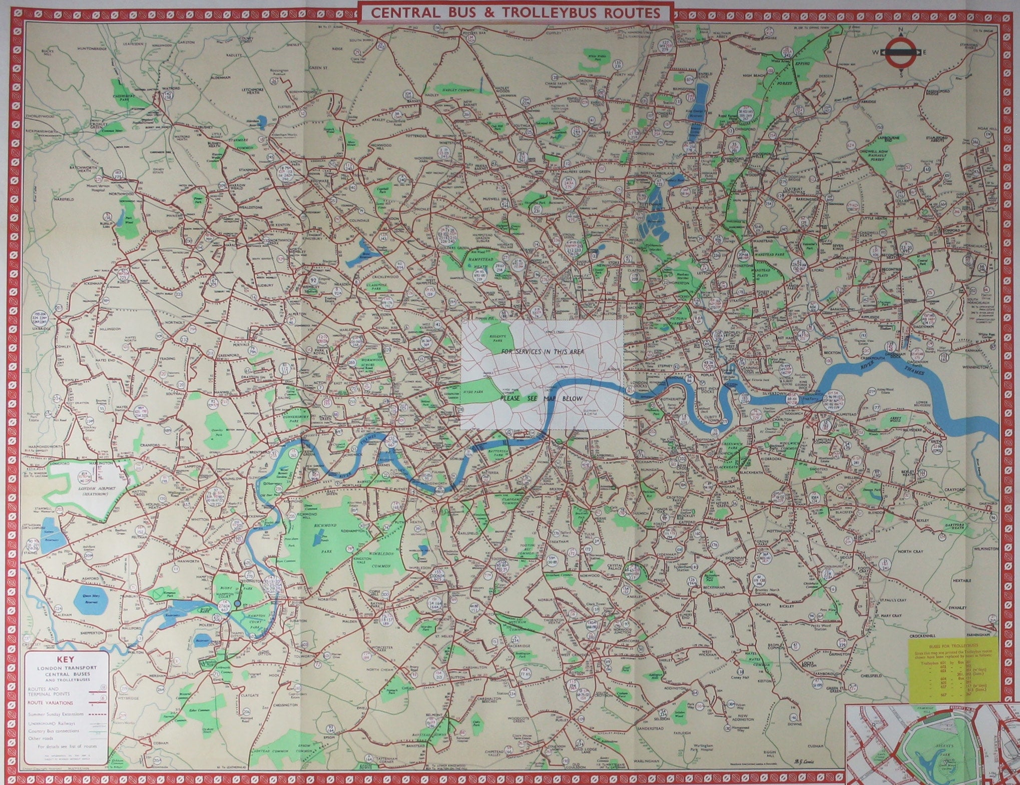
Trolleybus services were introduced to London in 1931 and phased out between 1954 and 1962, making this one of the last maps to show them. It was printed in March 1962, and the last London trolleybus ran in May. A yellow label pasted in the bottom right hand corner of the map updates it with the latest trolleybus routes to be replaced by diesel buses.
Read more
Lewis (1900-1966) designed posters for the Underground and London Transport between 1931 and the 1960s. The London Transport roundel has been adapted to include a north pointer, in the same style as that on Getzel’s series of geographical maps.
Condition & Materials
Quad royal station wall map, 101 x 126.5 cm, blank verso. Bus routes are listed in panels beneath and to the right of the map, and an inset of the central area on an enlarged scale is featured bottom right.
References
London’s Transport Systems published 1956-69
A Note on Shipping
Shipping rates are not available for this item. Select ‘pick up’ at checkout to collect it from the shop, or contact us for a custom quote. We will email you an invoice for the item price plus shipping, and you can complete the transaction securely online. Read less


