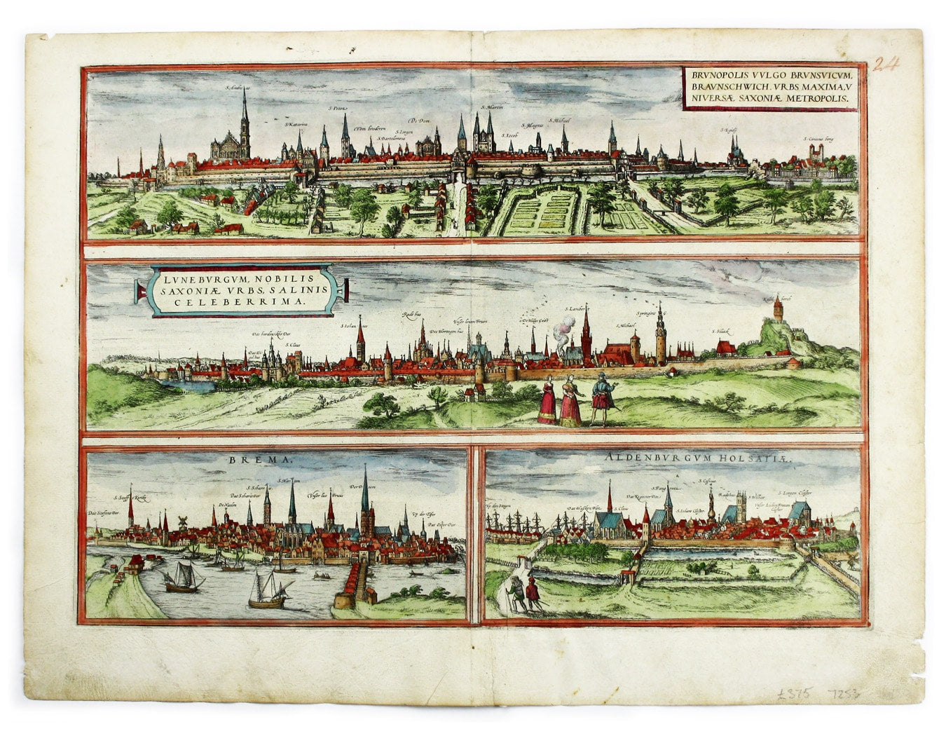
Braun & Hogenberg’s Plan of Braunschweig, Lüneburg, Bremen with Stade
SKU: 7253
Title:
Braun & Hogenberg’s Plan of Braunschweig, Lüneburg, Bremen with Stade
Date of publication:
Printed Measurement:
Colour:
Brunopolis [with] Luneburgum [and] Brema [and] Aldenburgum Holsatiae
Four north German towns are shown here on one sheet: Braunschweig, Lüneburg and Bremen, with Stade - mis-captioned Oldenburg in Holstein. Read more
The Civitates Orbis Terrarum was one of the most significant cartographic works of the late sixteenth-century, printed over 45 year period between 1572 and 1617. It was the first systematic city atlas (containing the first accurate surveys of many towns) and was inspired in part by the scope of Abraham Ortelius’ Theatrum Orbis Terarrum which gathered together the best available geographical sources.
Town views and plans were all taken from direct observation rather than improvised in the manner of some earlier geographical works - it had not been unknown for the same view to appear in more than one guise.
Georg Braun wrote the text and Ortelius himself - who travelled through Italy with the artist Joris Hoefnagel - supplied a significant proportion of the material, which was then engraved by Simon Novellanus and Frans Hogenburg. Later contributors included Abraham Hogenberg and Jacob Hoefnagel, who continued their fathers’ work.
There were a number of editions, mostly with Latin text, but it is extremely difficult (and, according to Koeman 'of secondary importance') to differentiate between them, as the state of the plates and their number and order does not vary.
Condition & Materials
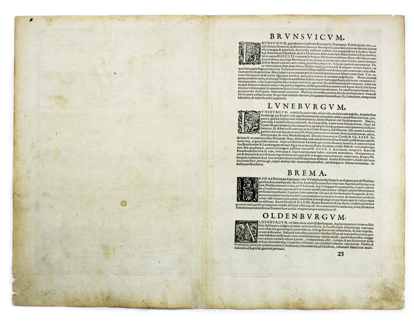
Copper engraving, 34 x 48 cm, recent hand-colour, numbered in an old hand top-right. Latin text on verso.
References
Koeman B&H I Read less


