£125.00


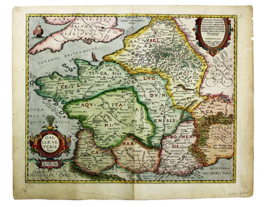
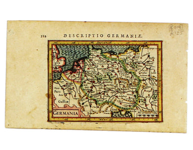
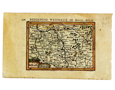
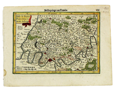
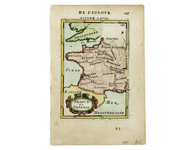
Ortelius' Miniature Epitome Map of Normandy
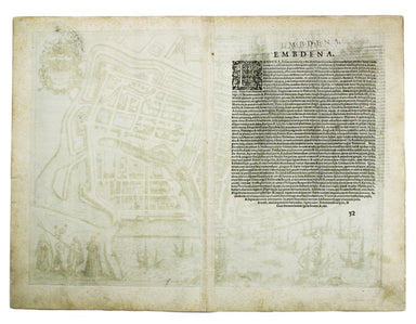
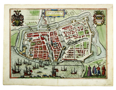
This miniature map of Normandy was engraved by brothers Ambrose and Ferdinand Arsenius circa 1601 for a third ‘epitome’ (or pocket version) of Orte...
View full details