

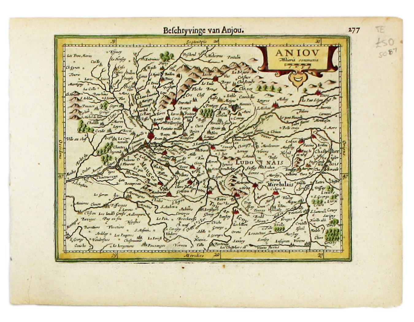
Mercator’s Map of Anjou
SKU: 5087
Title:
Mercator’s Map of Anjou
Date of publication:
Printed Measurement:
Publisher:
Colour:
Mapmaker:
Engraver:
This map of Anjou is from the Atlas Minor.
The original plates were engraved by Jodocus Hondius, but after these were sold to the London trade in the 1620s Janssonius commissioned new ones from Pieter van den Keere and Abraham Goos. Read more
Koeman attributes the relatively low number of Dutch editions to the prevalance of Latin and French among ‘the better circumstanced people - potential buyers of atlases’.
Condition & Materials
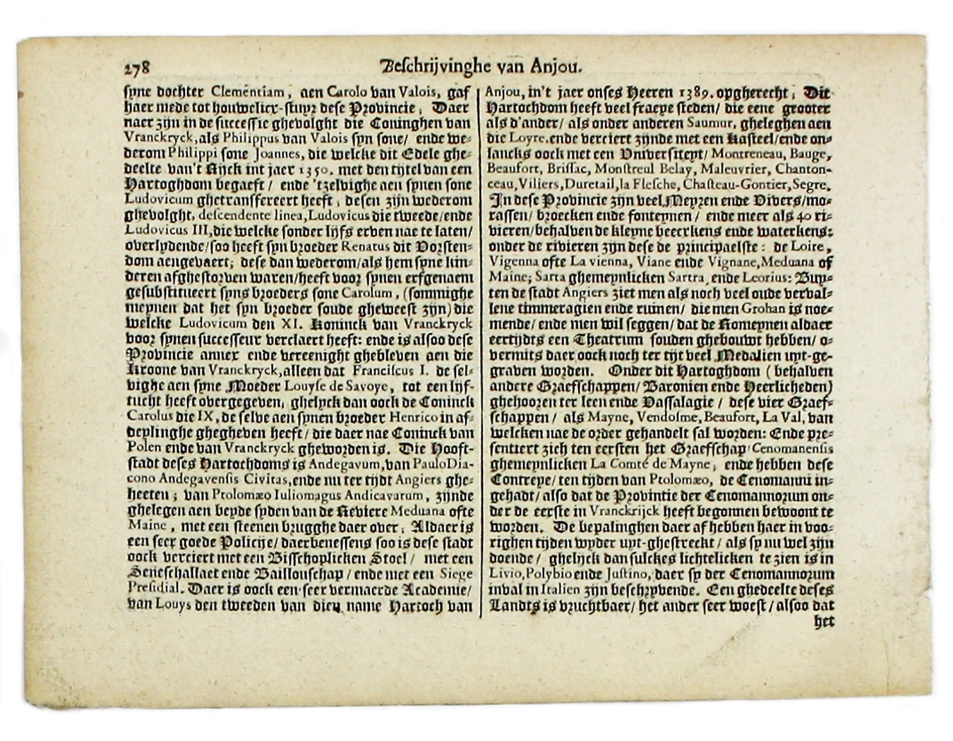
Copper engraving, 14 x 18.3 cm, later hand-colour, Dutch text on verso.
References
Koeman, Atlantes Neerlandici, Me 197. Read less