

Robert de Vaugondy’s Map of Hungary & Southeastern Europe
SKU: 8802
Title:
Robert de Vaugondy’s Map of Hungary & Southeastern Europe
Date of publication:
Printed Measurement:
Publisher:
Colour:
Mapmaker:
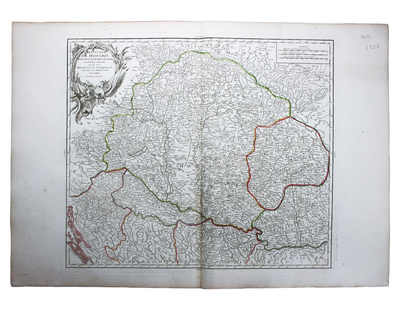
Le Royaume de Hongrie, Principaute de Transilvanie, Sclavonie, Croatie, et partie de la Principaute de Valaquie, de la Bosnie, de la Servie et de la Bulgarie
This later state of Robert de Vaugondy’s map of southeastern Europe was first published in 1751. It covers present day Hungary and Slovakia and parts of neighbouring states including Romania, Bosnia, Croatia and Serbia. Pedley does not specify a second state, but the date and privilege have been erased on our example of the map. Read more
Condition & Materials
Copper engraving, 49.5 x 56.5 cm, original hand colour in outline, blank verso.
References
Pedley, Bel et Utile: the Work of the Robert de Vaugondy Family of Mapmakers, 288. Read less