£1,250.00
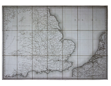
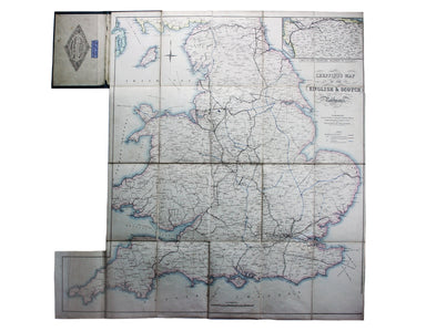
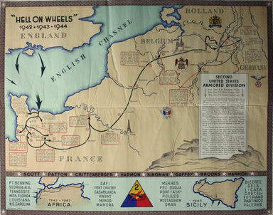
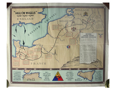
Napoleonic Road Map of France & The First French Empire
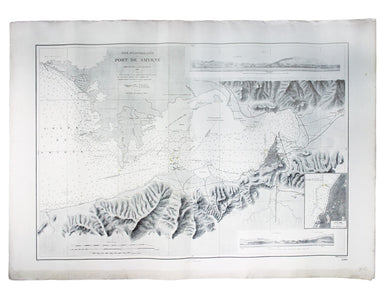
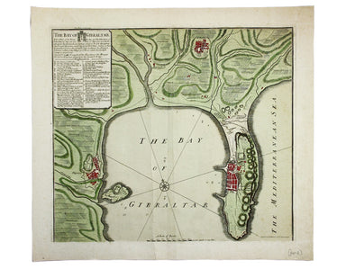
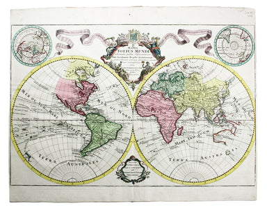
Carte Routière de la France dressée par ordre de Monsieur le Directeur Général des Ponts et Chaussées Though described in the title as a road map o...
View full details