

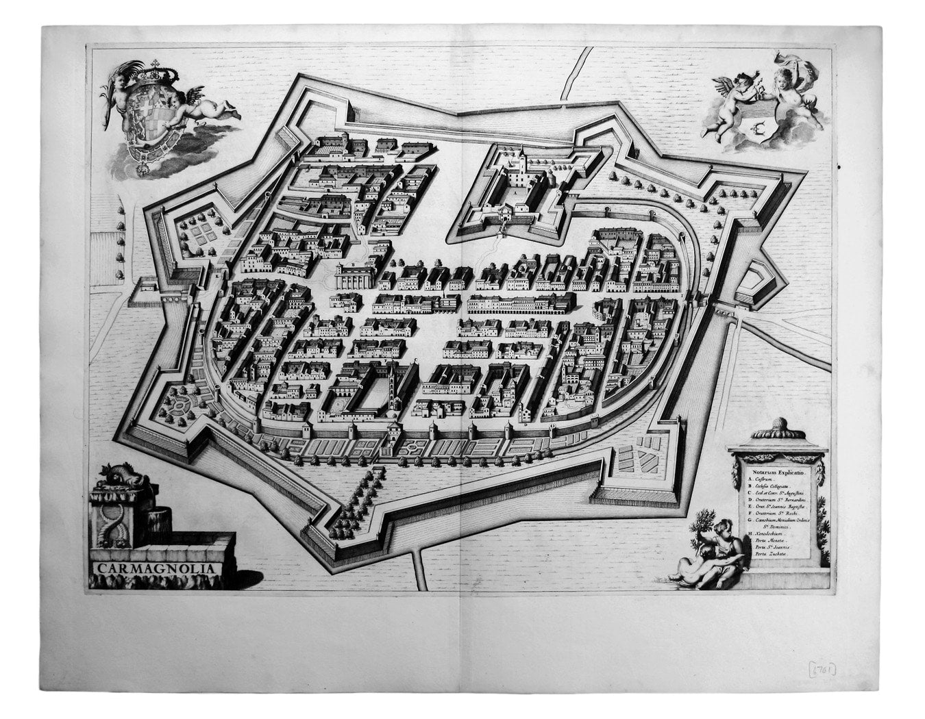
Blaeu’s Plan of Carmagnola
SKU: 6761
Title:
Blaeu’s Plan of Carmagnola
Date of publication:
Printed Measurement:
Publisher:
Colour:
Mapmaker:
Carmagnola, just south of Turin in Piedmont, was fought over and extensively remodelled in the mid seventeenth-century; it was briefly recaptured by the French in 1690, but its strategic importance declined and the defences were demolished thereafter.
Blaeu’s townbook of Savoy and Piedmont was first published by the Blaeu heirs in 1682, but the plates were purchased and reissued (with Blaeu’s imprint erased) by Adriaan Moetjens in 1697.
Read more
Condition & Materials
Copper engraving, 43.5 x 58.5 cm, black and white, blank verso.
References
Koeman Bl 80 Read less