

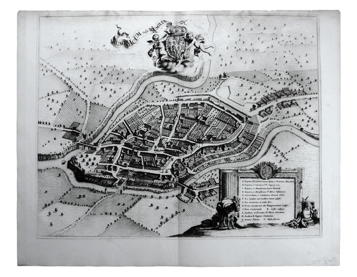
Blaeu’s Plan of Rumilly in Haute-Savoie
SKU: 6763
Title:
Blaeu’s Plan of Rumilly in Haute-Savoie
Date of publication:
Printed Measurement:
Publisher:
Colour:
Mapmaker:
Rumiliacum vulgo Rumilly
Blaeu’s townbook of Savoy and Piedmont was first published by the Blaeu heirs in 1682, but the plates were purchased and reissued (with Blaeu’s imprint erased) by Adriaan Moetjens in 1697. Read more
Condition & Materials
Copper engraving, 46.5 x 59 cm, black and white, upper margin cut close with very light waterstaining, blank verso.
References
Koeman Bl 80 Read less