

Bowen & Owen Map of Radnorshire
SKU: 6073
Title:
Bowen & Owen Map of Radnorshire
Date of publication:
Printed Measurement:
Colour:
Mapmaker:
Engraver:
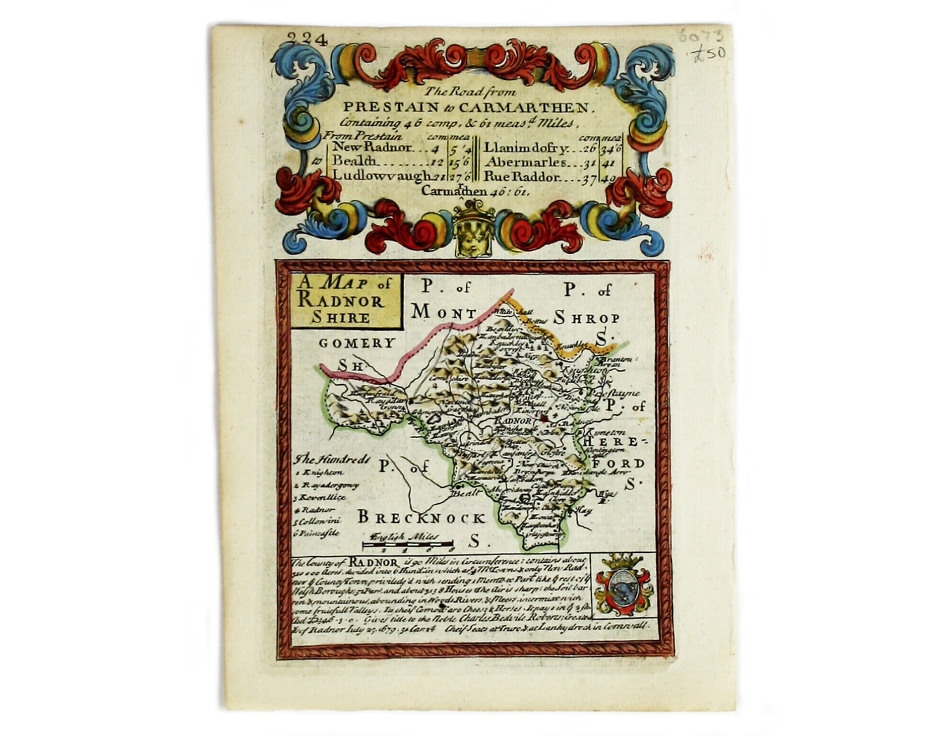
This map of Radnorshire was engraved by Emanuel Bowen for John Owen’s “Britannia Depicta”, a pocket road book derived from Ogilby’s innovative atlas of strip maps first published in 1675.
Bowen & Owens’s work first appeared in 1720 and proved extremely popular; there were numerous editions over the next forty years. Read more
Condition & Materials
Copper engraving, 18 x 12 cm, recent hand-colour, black and white strip-maps on verso. Read less