

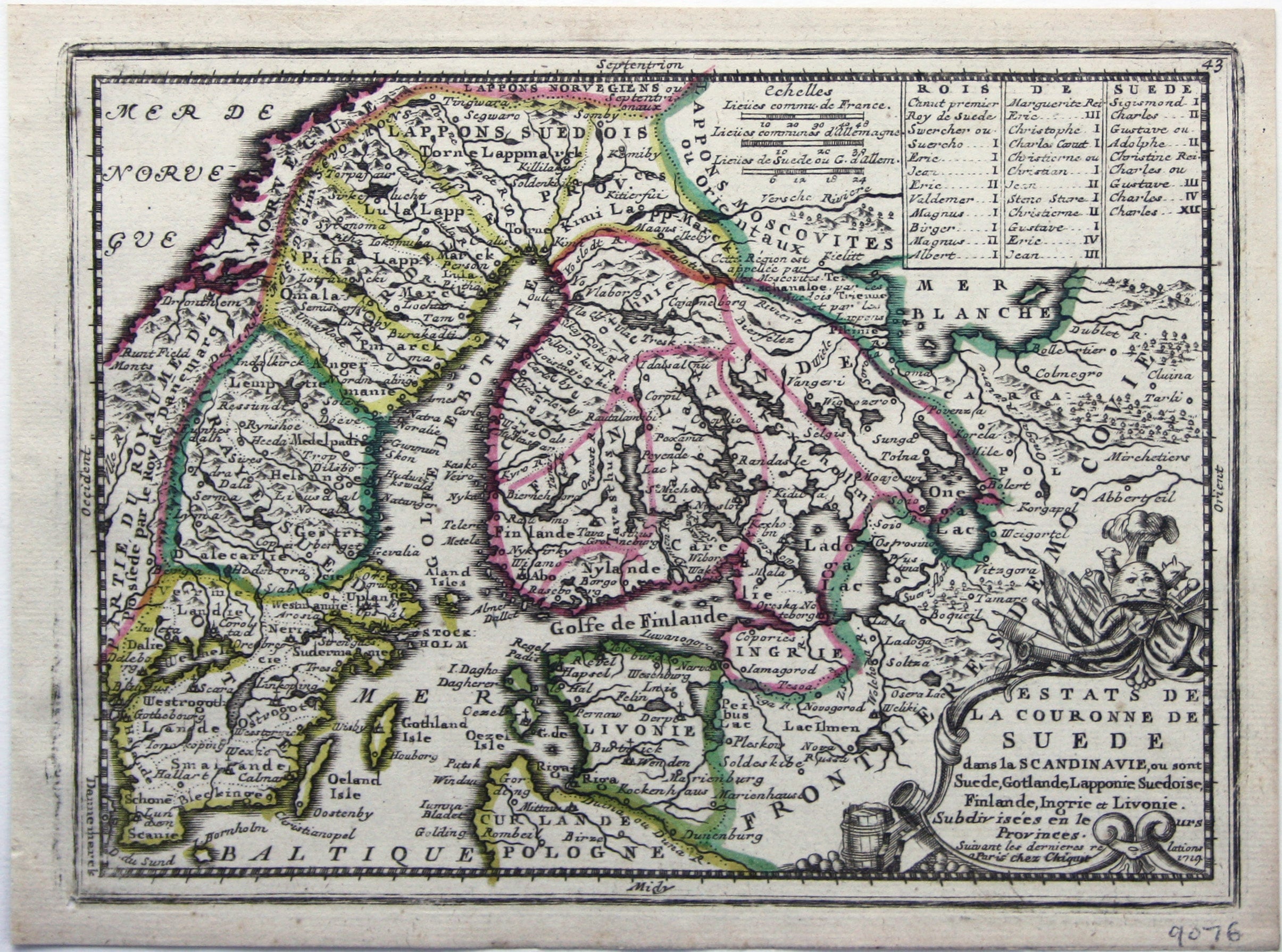
Chiquet’s Map of Sweden
SKU: 9076
Title:
Chiquet’s Map of Sweden
Date of publication:
Printed Measurement:
Colour:
Mapmaker:
This map shows the Swedish Empire, including Finland and Swedish Livonia.
It waspublished in Chiquet’s ‘Le nouveau et curieux atlas géographique et historique ...’. Read more
Chiquet (1673-1721) was a relatively successful Parisian engraver, print- and map-seller. He published Antoine Menard’s ‘Le nouveau et curieux atlas’ in 1711, and reprinted it with Menard’s name burnished from the plate and replaced with his own and a new date, 1719, as here.
Condition & Materials
Copper engraving, 16.5 x 22.5 cm, original hand colour in outline, blank verso. Read less