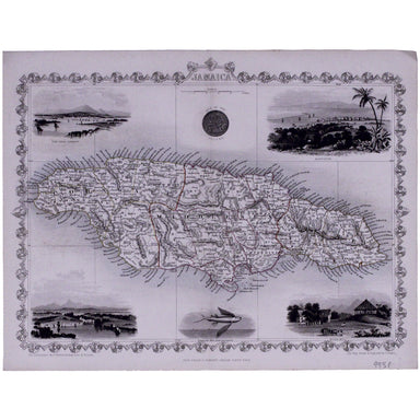
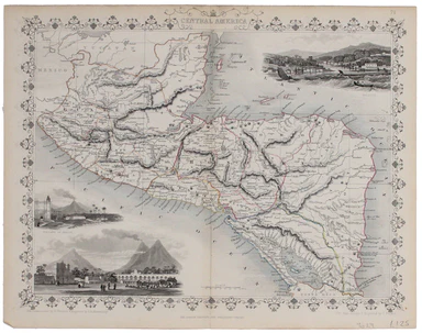
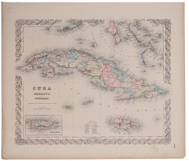
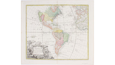
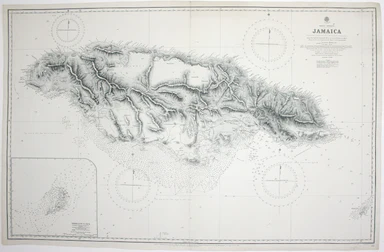
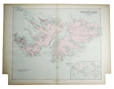
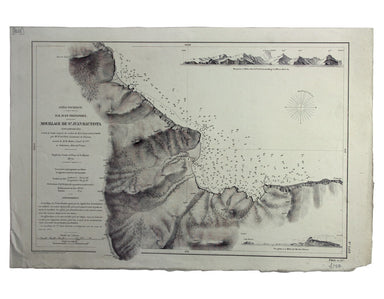
French Chart of Saint Croix
SKU: 9507
Title:
French Chart of Saint Croix
Date of publication:
Printed Measurement:
Colour:
Mapmaker:
Antilles – Ile Sainte Croix
This detailed chart of Saint Croix in the US Virgin Islands (then the Danish West Indies) was derived from a British Admiralty survey of 1856, undertaken by John Parsons. Read more
Condition & Materials
French naval chart, sheet 3251, sheet size 72 x 103.5 cm, engraved by A Grenier, with tint supplied by Naudin, after Nyon, black and white, with coastal profiles in the upper part of the chart, centrefold, one or two trivial marginal nicks and tears, blank verso. Read less