


French Chart of Smyrna, Greco-Turkish War
SKU: 8575
Title:
French Chart of Smyrna, Greco-Turkish War
Date of publication:
Printed Measurement:
Colour:
Mapmaker:
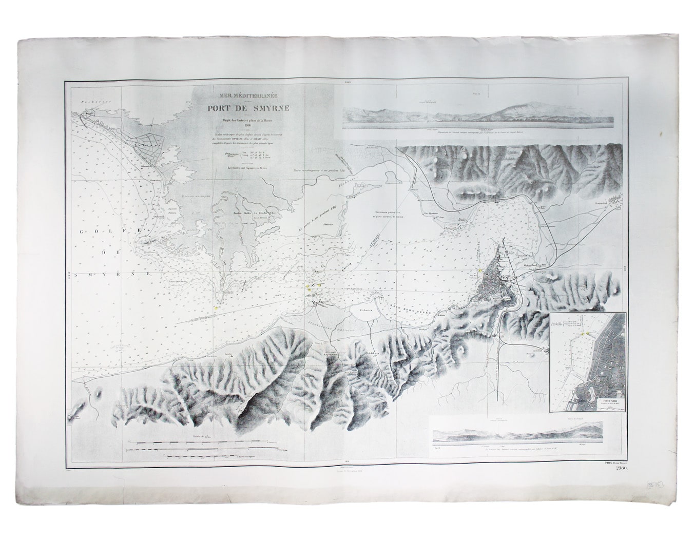
Mer Méditerranée – Port de Smyrne
This French naval chart of Smyrna includes insets of Port d’Abri (the inner harbour at modern day Izmir) and two coastal profiles. Engraved in 1866 after British charts by Copeland and Spratt, this example of the map was printed in September 1920 during the Greek occupation of the Zone of Smyrna, part of the territory awarded to Greece at the expense of the Ottoman Empire by the Allied powers after the Great War. Read more
Smyrna became an important base for Greek forces during the resulting Greco-Turkish War of 1919-1922, and in the bloody aftermath of the Greek withdrawal half the city was razed in the Great Fire of Smyrna, also known as the Smyrna Catastrophe.
Condition & Materials
French naval chart of Smyrna, 63 x 91.5 cm, black and white with beacons highlighted in yellow, slightly dusty lower margin, one or two closed marginal tears, blank verso. Read less