

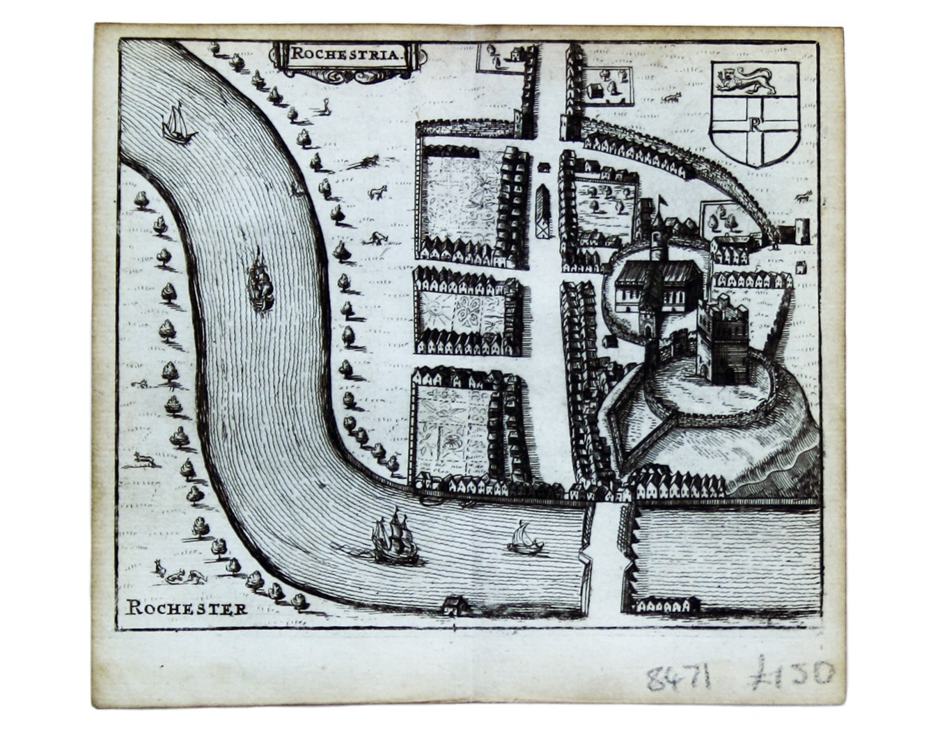
Hermannides’ Plan of Rochester
SKU: 8471
Title:
Hermannides’ Plan of Rochester
Date of publication:
Printed Measurement:
Colour:
Mapmaker:
This map of Rochester is from Hermannides' Magna Britannia.
Nearly all of the plans are based on the small inset plans shown on John Speed's county maps in the Theatre. For many of the towns these are the first individual plans published. Read more
Condition & Materials
Copper engraving, 11.2 x 13.2 cm, black and white as issued, blank verso. Read less