

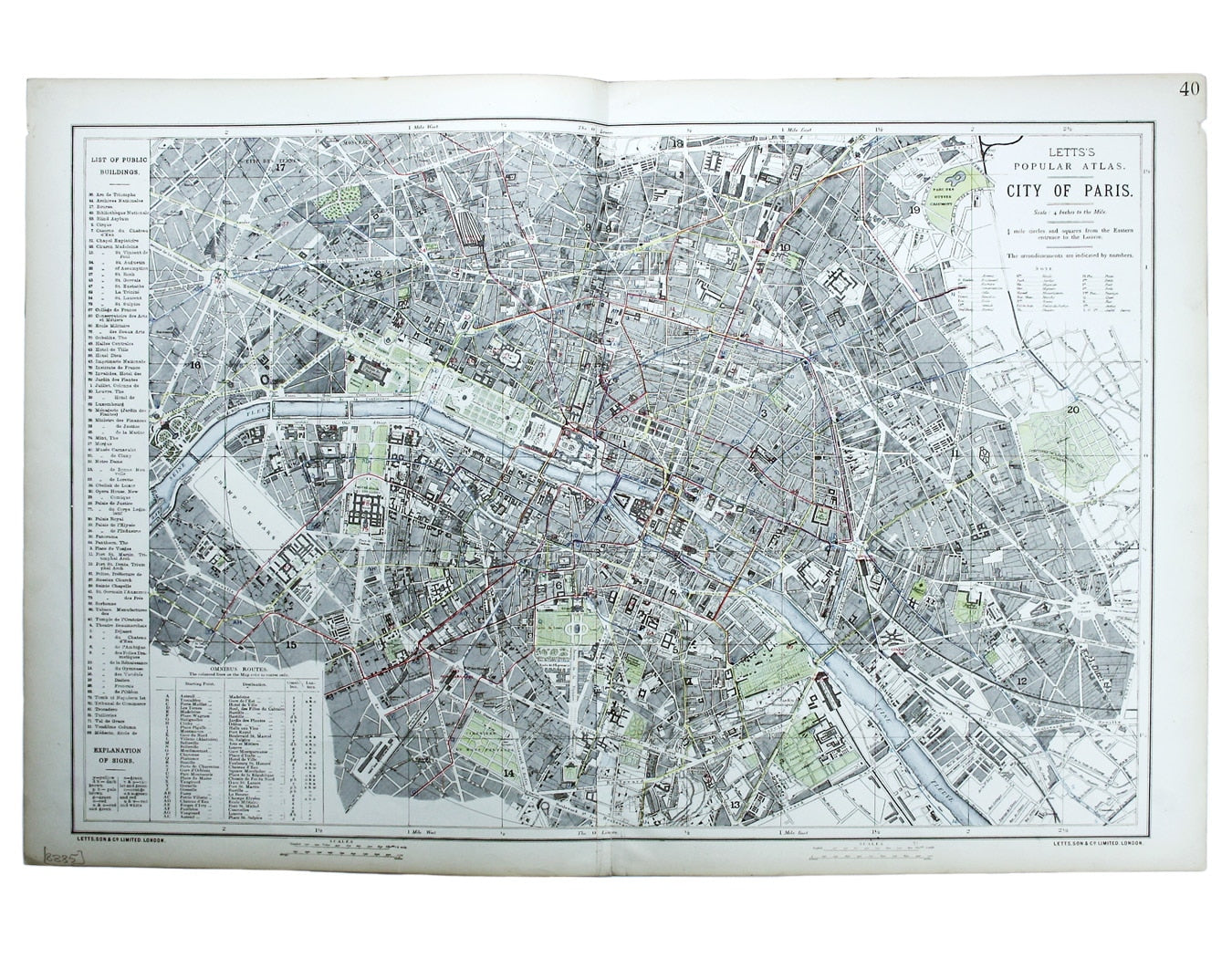
Letts’ Plan of Paris
SKU: 8885Ultimately derived from the SDUK but reflecting Haussman’s redevelopment of the city centre under Napoleon III, our example is from one of the last editions of Letts’s Popular Atlas published by the original firm of stationers, map and diary makers.
Charles Letts, grandson of the firm’s founder, remained in business under his own name, but in 1884 the Letts, Son & Co map plates were purchased by Edward Stanford.
Read more
Condition & Materials
Lithographed city plan of Paris, two sheets joined, sheet size, 43 x 64.5 cm, map 39 x 58.5 cm, original colour, coloured lines denote omnibus routes, blank verso. Read less