

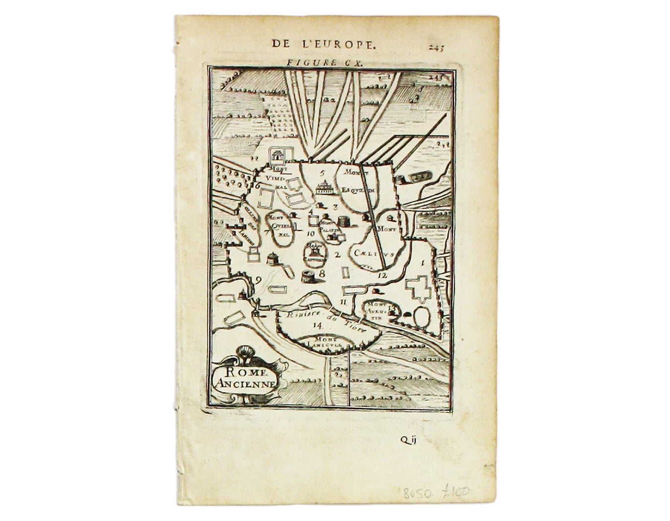
Mallet’s Plan of Ancient Rome
SKU: 8050
Title:
Mallet’s Plan of Ancient Rome
Date of publication:
Printed Measurement:
Colour:
Mapmaker:
Rome Ancienne
This plan of ancient Rome is from Mallet’s Description de l’Univers, first published in Paris in 1683 and reprinted with German text in Frankfurt the following year. Read more
Mallet was a military engineer, cartographer and mathematician in the service of the French King, Louis XIV.
Condition & Materials
Copper engraving, 15 x 11 cm, black and white, French text on verso. Read less