Robert de Vaugondy’s Map of China
SKU: 8796
Title:
Robert de Vaugondy’s Map of China
Date of publication:
Printed Measurement:
Colour:
Mapmaker:
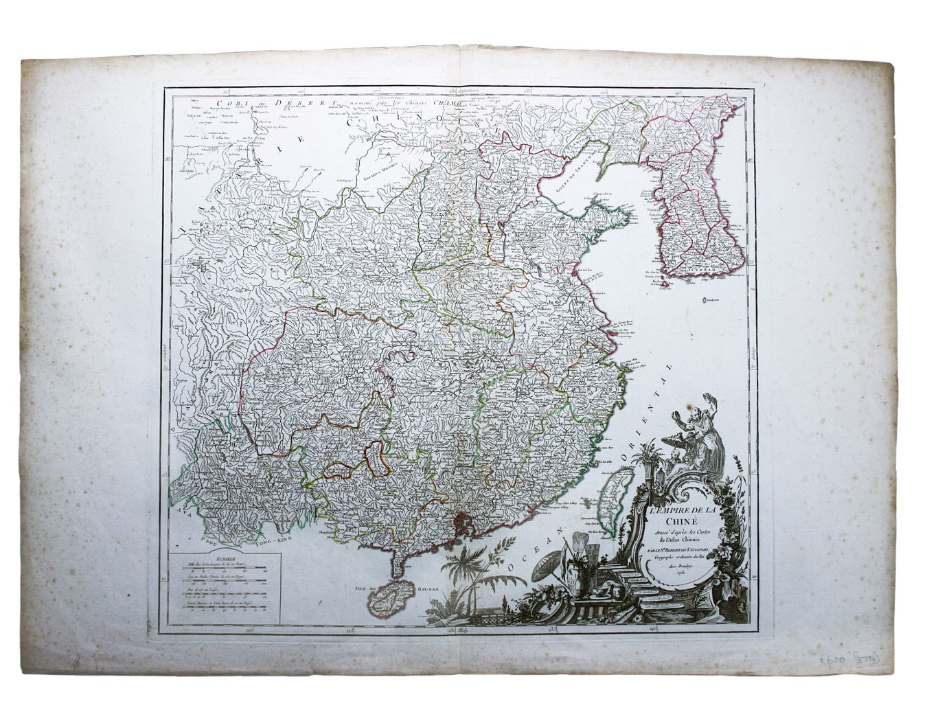
L’Empire de la Chine dressé d’apres les Cartes de l’Atlas Chinois
This detailed and relatively accurate map of China, Korea and Taiwan was derived from the series of maps in the French Jesuit Jean-Baptiste du Halde’s 1735 ‘Description’, and published in the ‘Atlas Universel’. Read more
Condition & Materials
Copper engraving, 49.5 x 55 cm, dated within the elaborate rococo cartouche, original hand colour in outline, marginal spotting, blank verso.
References
Pedley, Bel et Utile: the Work of the Robert de Vaugondy Family of Mapmakers, 407. Read less


