Bryars & Bryars
Stingemore's January 1926 Passenger Map
Stingemore's January 1926 Passenger Map
Couldn't load pickup availability
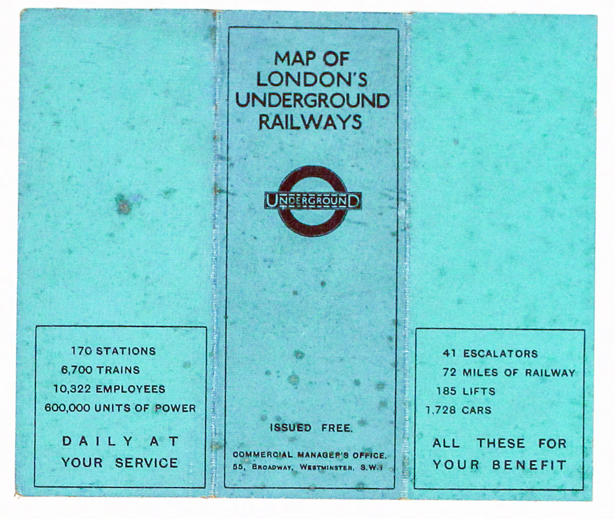
Our map of the London underground is the second edition in a series designed by Fred Stingemore, issued free to passengers from May 1925 onwards and ultimately replaced by Beck's diagram in 1933.
The maps were roughly geographical, but all surface topography was omitted . Even the Thames was left out of these early editions, although it was later reinstated as a point of reference, and some lines were twisted to fit into the available space.
The Underground Electric Railways Company of London (UERL) had experimented with small three-panel maps even before the First World War, but Stingemore’s series cemented the format and his maps are the ancestors of those still given away at tube stations today.
Condition & Materials
Card folder pocket map, printed area measurement 12.6 x 15 cm, January 1926 issue on green linen-backed card, trivial spotting, statistical information (170 stations, 41 escalators etc) on the covers.
Share