The New Pictorial Map of London
SKU: 9565
Title:
The New Pictorial Map of London
Date of publication:
Printed Measurement:
Publisher:
Colour:
Mapmaker:
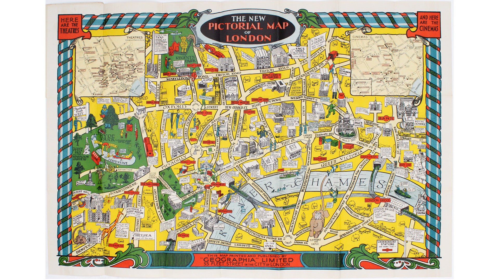
This pictorial map of London is generally dated 1931 in institutional catalogues, but here Geographia’s date-code for November 1934 is worked into the lower left-hand corner of the border. There is a smaller version without the insets and border which may be a fraction earlier, accounting for the 1931 date, and the map was also issued as a jigsaw puzzle. Our map has a greater extent to both west and east, and there are additions (such as the site of Tyburn Tree) and revisions (to the creatures in London Zoo for example). However, in both cases the internal evidence – such as references to the construction of Bush House and rebuilding of the Bank of England – confirm the general period, but do not help to date when the map was drawn with any further precision.
Condition & Materials Read more
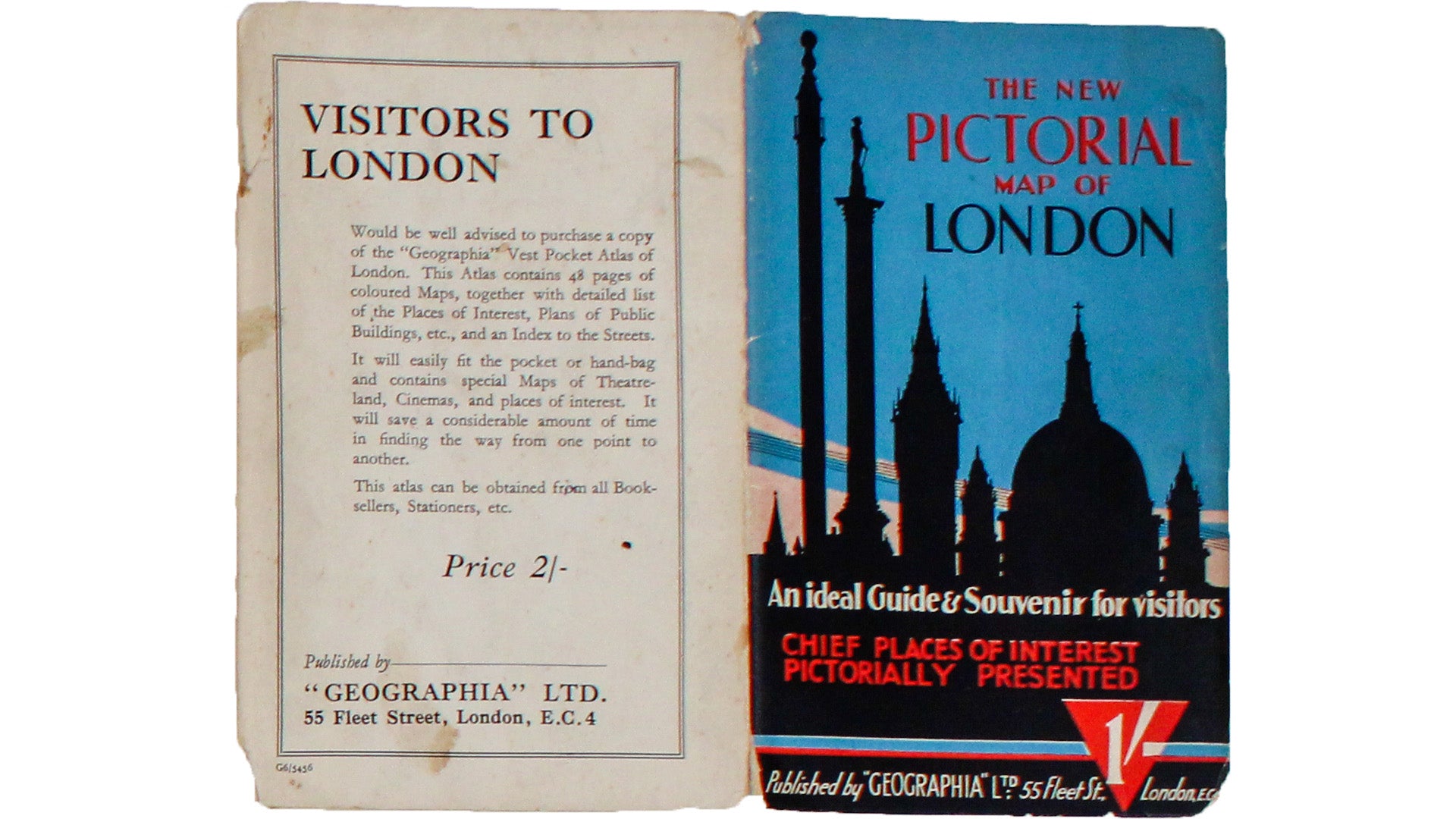
Pictorial map of London, sheet size 51 x 75 cm, printed in colours, insets showing central theatres and cinemas, folding into printed paper wrappers, with the cover title ‘An ideal guide & souvenir for visitors, chief places of interest pictorially presented’. Published in London.
References
OCLC: 556387202/52202469 Read less


