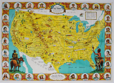
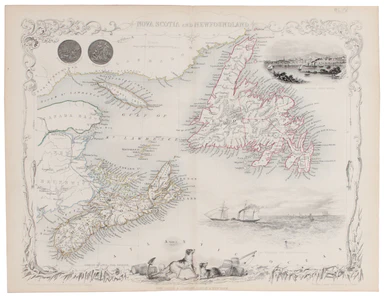
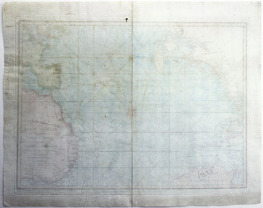
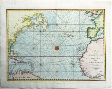
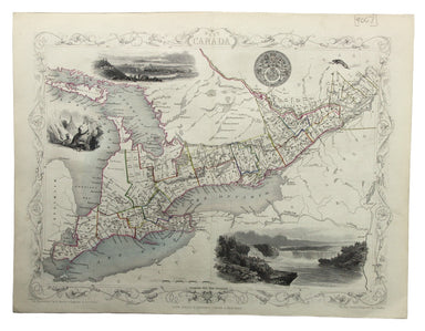
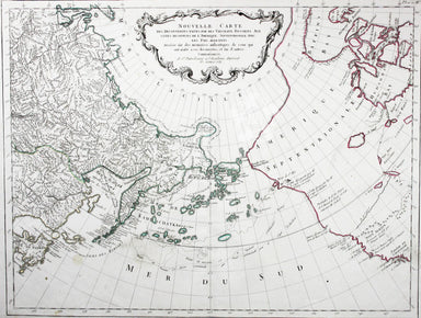
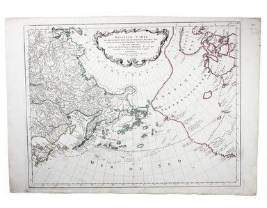
Wallis’ Map of the United States
SKU: 9098Title:
Wallis’ Map of the United States
Date of publication:
1811
Printed Measurement:
30 x 25 cm
Publisher(s):
Colour:
original
Mapmaker(s):
Copper engraving, 30 x 25 cm, original hand-colour, blank verso; published in ‘Oddy’s New General Atlas of the World’.
This map of the United States shows the states and territories east of the Mississippi but not Louisiana, purchased from France in 1803.
James Wallis (fl. 1810-1825) was born in Southampton in 1784, the son of a bricklayer. Apprenticed to John Roper in 1799, he learned the art of engraving. In later life he is variously recorded as a commission and discount agent (imprisoned for debt in 1835), a stationer, and a dealer in beer and wine.