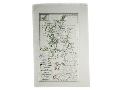
Von Reilly’s Islands in the Irish Sea and off the Scottish Coast
Das Irische und Kaledonische Meer mit Seinen Inseln This map focuses on the islands off the coast of Scotland and in the Irish Sea, and it's from f...
View full details
Das Irische und Kaledonische Meer mit Seinen Inseln This map focuses on the islands off the coast of Scotland and in the Irish Sea, and it's from f...
View full details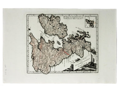
General-Karte von Grossbritannie Condition & Materials Copper engraving, 25.5 x 30 cm, original hand-colour, blank verso.
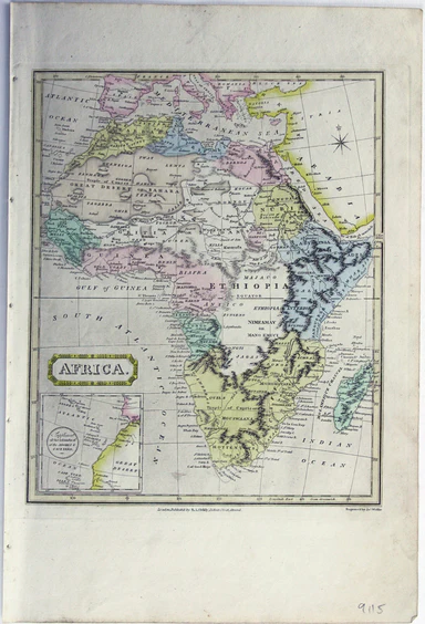
This map of Africa features was published in ‘Oddy’s New General Atlas of the World’. It features an inset of the Azores and Cape Verde islands. Mu...
View full details
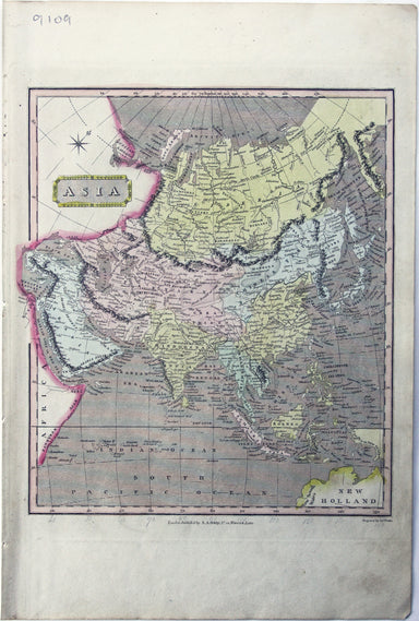
This map of Asia was published in ‘Oddy’s New General Atlas of the World’. New South Wales appears here on the west coast of ‘New Holland’. James W...
View full details
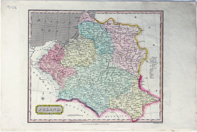
This map of Poland was published in ‘Oddy’s New General Atlas of the World’. It is coloured according to the third partition of 1795, by which the ...
View full details
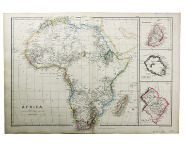
This map of Africa was drawn and engraved by Edward Weller, and includes insets of Mauritius, Réunion and Natal, Some of the most recent geographi...
View full details
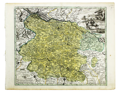
This map of the Principality of Lüneburg incorporates the former County of Dannenberg. The cartouche illustrates a stag hunting scene, perhaps on ...
View full details
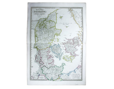
This map of Denmark is from Wyld's New General Atlas. James Wyld senior established a highly successful firm of map publishers, which passed to his...
View full details
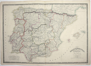
Spain and Portugal. Reduced from the large map in four sheets James Wyld senior established a highly successful firm of map publishers, which passe...
View full details
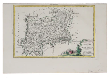
This map of Middlesex was engraved by Giuliano Zuliano after Giovanni Pitteri and published in Antonia Zatta's ‘Atlante Novissimo’. This was his ...
View full details
