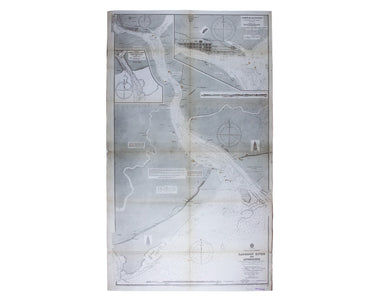
Admiralty Chart of the Approach to Rangoon
Burma – Gulf of Mataban – Rangoon River and Approaches This chart covers the mouth of the river between Rangoon (Yangon) and the sea. It shows vill...
View full details

Burma – Gulf of Mataban – Rangoon River and Approaches This chart covers the mouth of the river between Rangoon (Yangon) and the sea. It shows vill...
View full details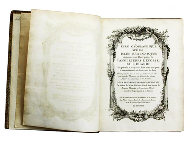
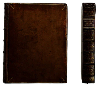
Jacques Nicolas Bellin the elder (1703-1772) was first chief hydrographic engineer of the "Dépôt des cartes, plans et journaux du Ministère de la M...
View full details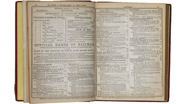
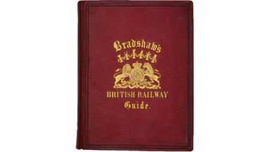
Loosely inserted into this railway guide is a 1952 letter from Bradshaw’s, replying to an enquiry from Gordon C. Dickinson, a former owner of our c...
View full details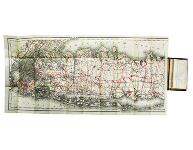
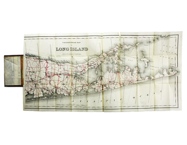
Condition & Materials Lithographed in red and black on two sheets, each 38.5 x 80 cm; this map of Long Island is printed on thin india paper; ...
View full details
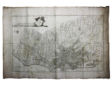
A Plan of the Town and Township of Liverpool, from an actual survey taken in the year 1785 by C. Eyes This map of Liverpool was surveyed and publis...
View full details
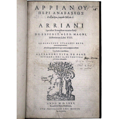
[Arrianou Peri Anabaseos Alexandrou historion biblia 8] Arriani (qui alter Xenophon vocatus fuit) De expedit. Alex. Magni historiarum libri VIII [....
View full details

Omnia Divini Platonis opera, tralatione [sic] Marsilii Ficini, emendatione et ad Graecum codicem collatione Simonis Grynaei, nunc recens summa dili...
View full details
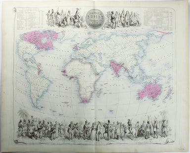
British Empire Throughout the World Exhibited in One View This is a highly decorative map of the British Empire by John Bartholemew, with British p...
View full details
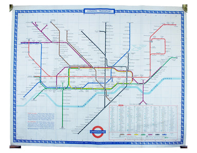
Garbutt believed he had ‘rescued’ the London Underground map from the clutches of Harold Hutchison and his ‘ham-fisted parody’ of Beck’s designs ...
View full details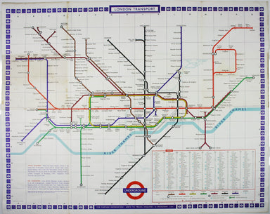
Garbutt believed he had ‘rescued’ the London Underground map from the clutches of Harold Hutchison and his ‘ham-fisted parody’ of Beck’s designs. H...
View full details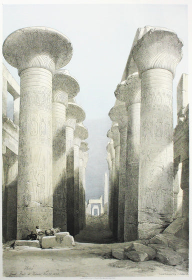
London: Day & Son for FG Moon, 1846-49. Tinted lithograph by Louis Haghe after Roberts, 48 x 32.5 cm, closed marginal tear (not affecting imag...
View full details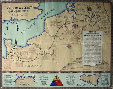
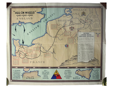
“Hell on Wheels” War Against the Axis 1942 – 1943 – 1944 The lower panel of this map deals with operations in North Africa and Sicily, with the uni...
View full details
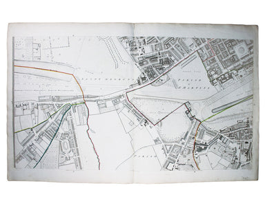
This map (two sheets from Horwood's magnificent 32 sheet survey) includes St James’s Square, the western part of Piccadilly, Green Park, Buckingham...
View full details
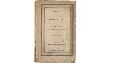
La garde-chambonas, Auguste Louis Charles de Messence, comte deVoyage dans quelques parties de l'Europe, par le comte de Lagarde... Seconde édition...
View full details
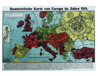
This intricate anthropomorphic map (the artist also produced a zoomorphic companion piece) was issued soon after the outbreak of the First World Wa...
View full details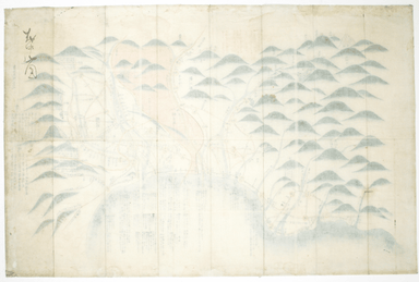
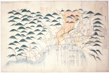
The focus of this map is Toyama, a significant sea-port in what was once Etchu province on Honshu. On stylistic grounds the map appears to date fro...
View full details
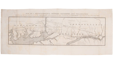
This route map was published in a report to Congress as ‘Letter from the postmaster general transmitting a report of General Bernard, of surveys of...
View full details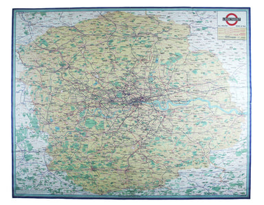
This map attempts full integration of bus and coach routes, tramways, the Underground and main-line railways, and is possibly the first issue showi...
View full details
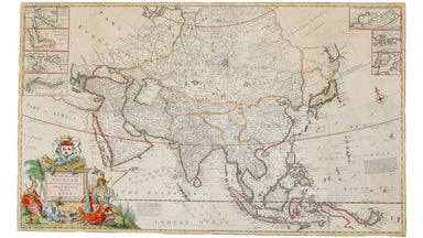
Moll's map of Asia is dedicated to William Cowper (1665-1723), the first to hold the office of Lord Chancellor (and from 1718 the first Earl Cowper...
View full details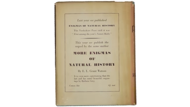
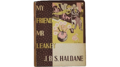
Condition & Materials Very nice copy in unclipped dustwrapper by Leonard Rosoman; spine lettering to dustwrapper faded as often, and chipped at...
View full details
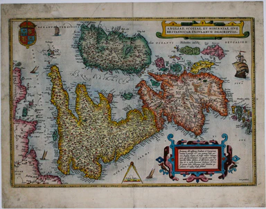
This map of the British Isles is aligned with west at the top of the map and north on the right, which makes better use of the available space on t...
View full details
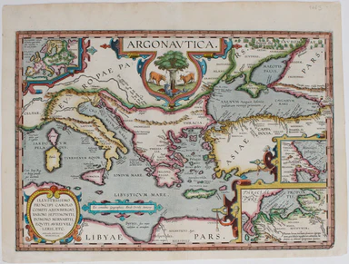
The Argonautica illustrates the mythical voyage of Jason and the Argonauts in their quest for the Golden Fleece. The map shows Black Sea and easter...
View full details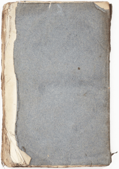
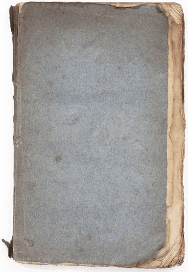
This is the first French edition, second state, of the first part of Paine’s Rights of Man, with a preface specially written by Paine for this tran...
View full details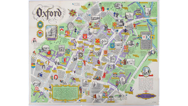
This pictorial plan of central Oxford was printed for the recently nationalised British Railways (Western Region). The arms of the University and t...
View full details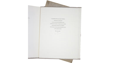
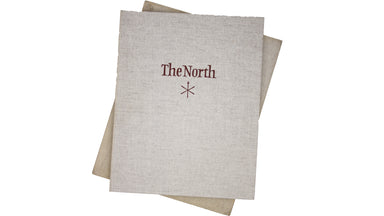
Illustrated limited edition Condition & Materials Folio, wrappers; loose as issued in a paper folder, cloth chemise and slipcase. Text printed ...
View full details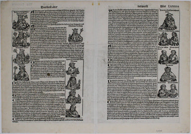
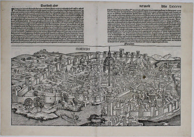
This is one of the earliest obtainable views of Florence, derived from a lost engraving by Francesco Rosselli. The woodcuts were created in the wor...
View full details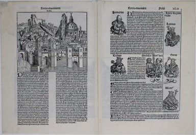
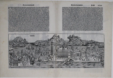
This is one of the earliest obtainable views of Venice, derived from a larger woodcut by Dutch artist Erhard Reuwich, which was published in the fi...
View full details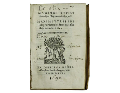
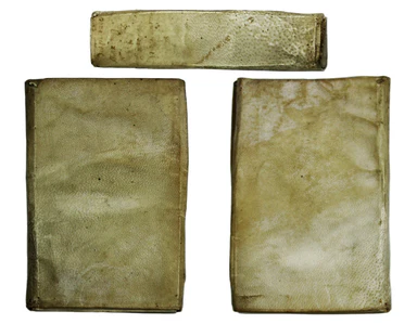
Maximus of Tyre: [Greek title] Sermones sive Disputationes XLI. Graece nunc primum editae. [Geneva]: ex officina Henrici Stephani Parisiensis typog...
View full details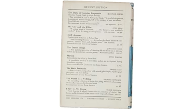

Condition & Materials First edition, 8vo. A couple of leaves roughly trimmed (evidently a production fault), very slight fading to cloth spine...
View full details

Britannia sits in the central panel of this cartographic board game, contemplating possibilities for commerce and the arts opened up by the new rai...
View full details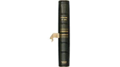
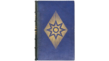
With a splendid binding by William F Matthews. William Matthews (1898-1977) trained (and later taught) at the Central School of Arts and Crafts. He...
View full details
