£1,500.00
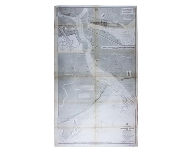
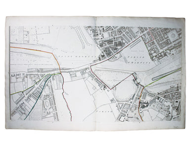
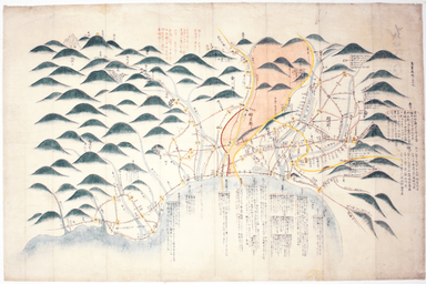
Admiralty Chart of the Approach to Rangoon
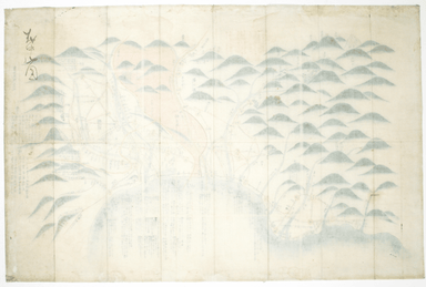
Burma – Gulf of Mataban – Rangoon River and Approaches This chart covers the mouth of the river between Rangoon (Yangon) and the sea. It shows vill...
View full details