


Admiralty Chart of Durban
SKU: 9016
Title:
Admiralty Chart of Durban
Date of publication:
Printed Measurement:
Colour:
Mapmaker:
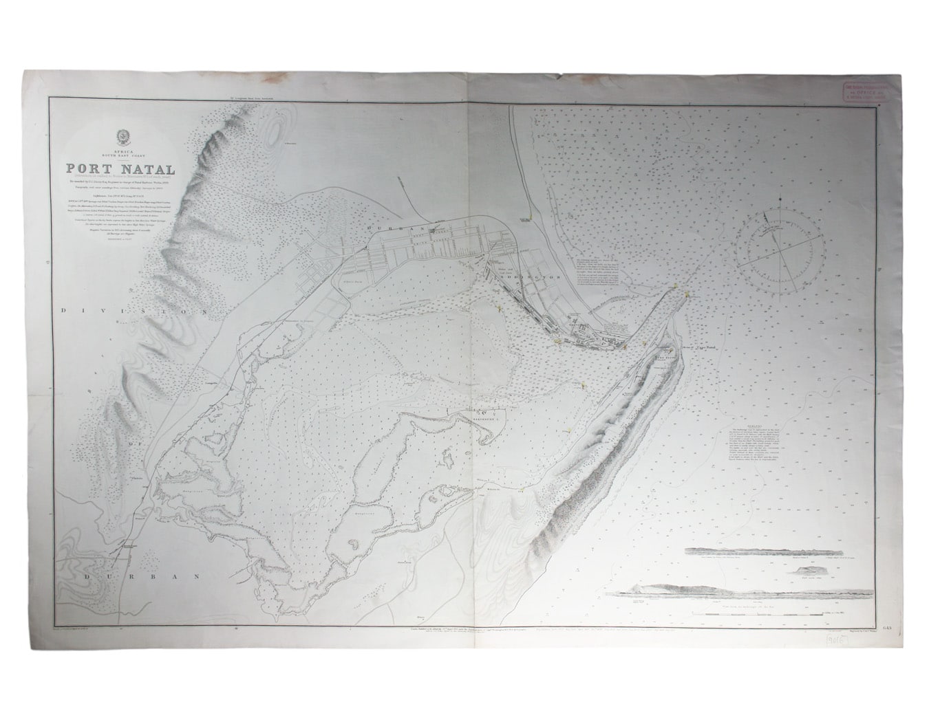
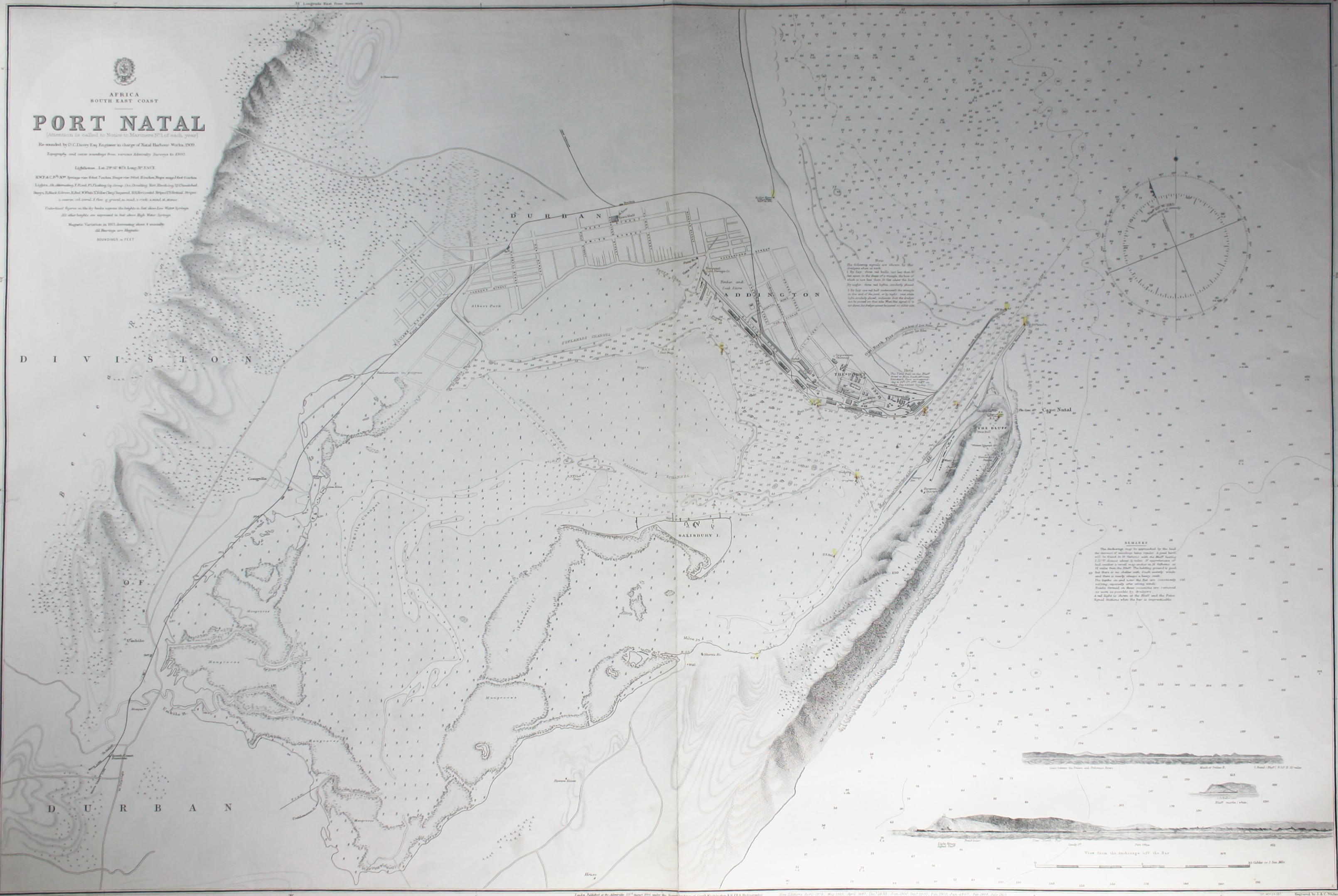
This British chart of Durban port was engraved by John and Charles Walker.
It shows soundings etc, interior detail of relief and settlements including Durban; with inset coastal profiles.
Read more
Condition & Materials
Sheet size 68.5 x 105 cm, black and white, one or two closed marginal nicks and tears, blank verso
A Note on Shipping
Shipping rates are not available for this item. Select ‘pick up’ at checkout to collect it from the shop, or contact us for a custom quote. We will email you an invoice for the item price plus shipping, and you can complete the transaction securely online. Read less