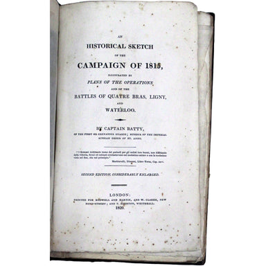

Presentation copy of Batty's account of the Waterloo campaign
An Historical Sketch of the Campaign of 1815, illustrated by plans of the operations and of the battles of Quatre Bras, Ligny, and Waterloo... seco...
View full details

An Historical Sketch of the Campaign of 1815, illustrated by plans of the operations and of the battles of Quatre Bras, Ligny, and Waterloo... seco...
View full details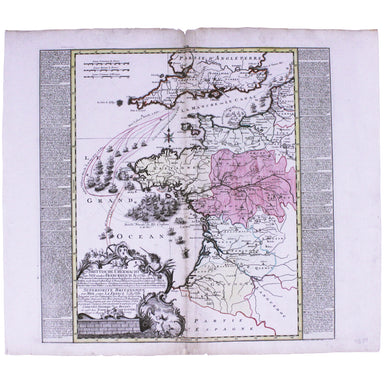
Brittische Übermacht zur See wieder Franckreich Ao. 1759... Superiorite Britannique par Mer contre La France l'An 1759... This map is a contemporar...
View full details

This important map of the ‘Gulag’, the Soviet system of forced labour camps, is seemingly the earliest published example of what was to become one ...
View full details

Sheets 44E/44F: North Sumatra and part of Siam/Part of Siam, Malaya and East Sumatra For the highly classified production of Escape & Evasion m...
View full details
Cloth Survival Chart S-12: Western Pacific Covering the Western Pacific, this is the largest of the US Navy ‘handkerchief’ charts. One side shows ...
View full details
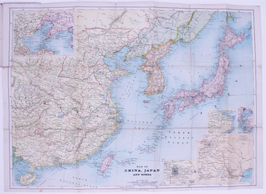
Map of China, Japan and Korea. / [Cover title:] The Eastern Crisis. Bacon's large-scale map of Japan, Korea, China, Manchuria Produced to illustrat...
View full details

Chine du nord - Corée - Manchoukouo Manchukuo – a Japanese term for Manchuria – was a puppet state of the Empire of Japan in China and Inner Mongol...
View full details
Portus Pulchri in Isthmo Panamensi [with] Scenographia Portus Pulchri This is a plan and view of the successful British attack on the wealthy and s...
View full details

This Vietnam War-era city plan of Saigon (modern Ho Chi Minh City) is coloured by district, with a street index at the foot of the map. Useful info...
View full details

The Daily Mail Special Map Of The Far East Produced to illustrate the Russo-Japanese War, this map indicates Treaty Ports, dockyards and naval base...
View full details

Théâtre de la Guerre: Carte de l’Empire Ottoman en Europe et en Asie With an inset of Sevastopol, our map covers the region at the outbreak of the ...
View full details
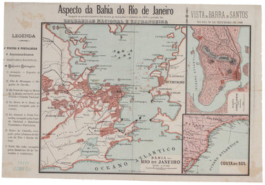
The 'Revoltas da Armada', the Brazilian naval mutinies of 1893-1894, were linked with the Federalist Rebellion against the recently-formed First Br...
View full details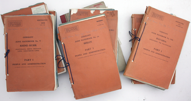
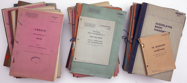
This is a collection of 61 intelligence handbooks, 1943-1945, covering enemy and occupied countries and compiled by the Foreign Office and Ministry...
View full details
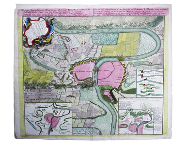
Kreigs Expeditions Karte in Bohmen I Blat, in welchern die Haubstadt Prag mit der Franzofsischen und Saechsischen Belegerug und Eroberung, so den 2...
View full details
