

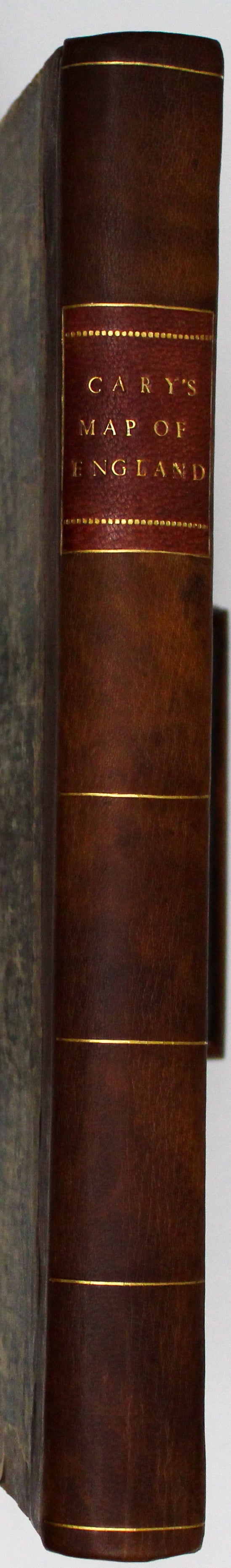
Cary's Atlas Map of England & Wales
SKU: 9687
Title:
Cary's Atlas Map of England & Wales
Date of publication:
Place of publication:
Binding:
Mapmaker:
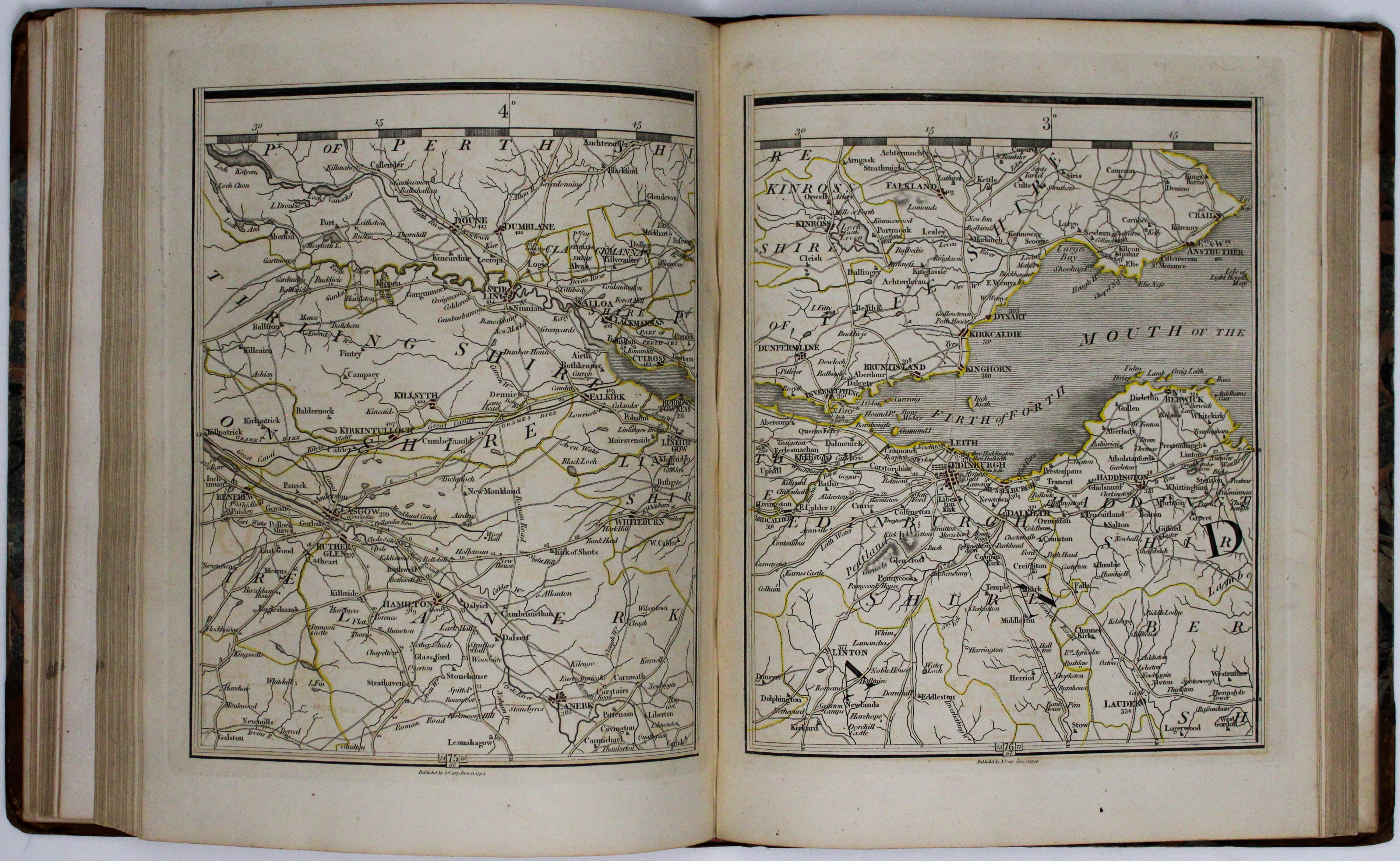
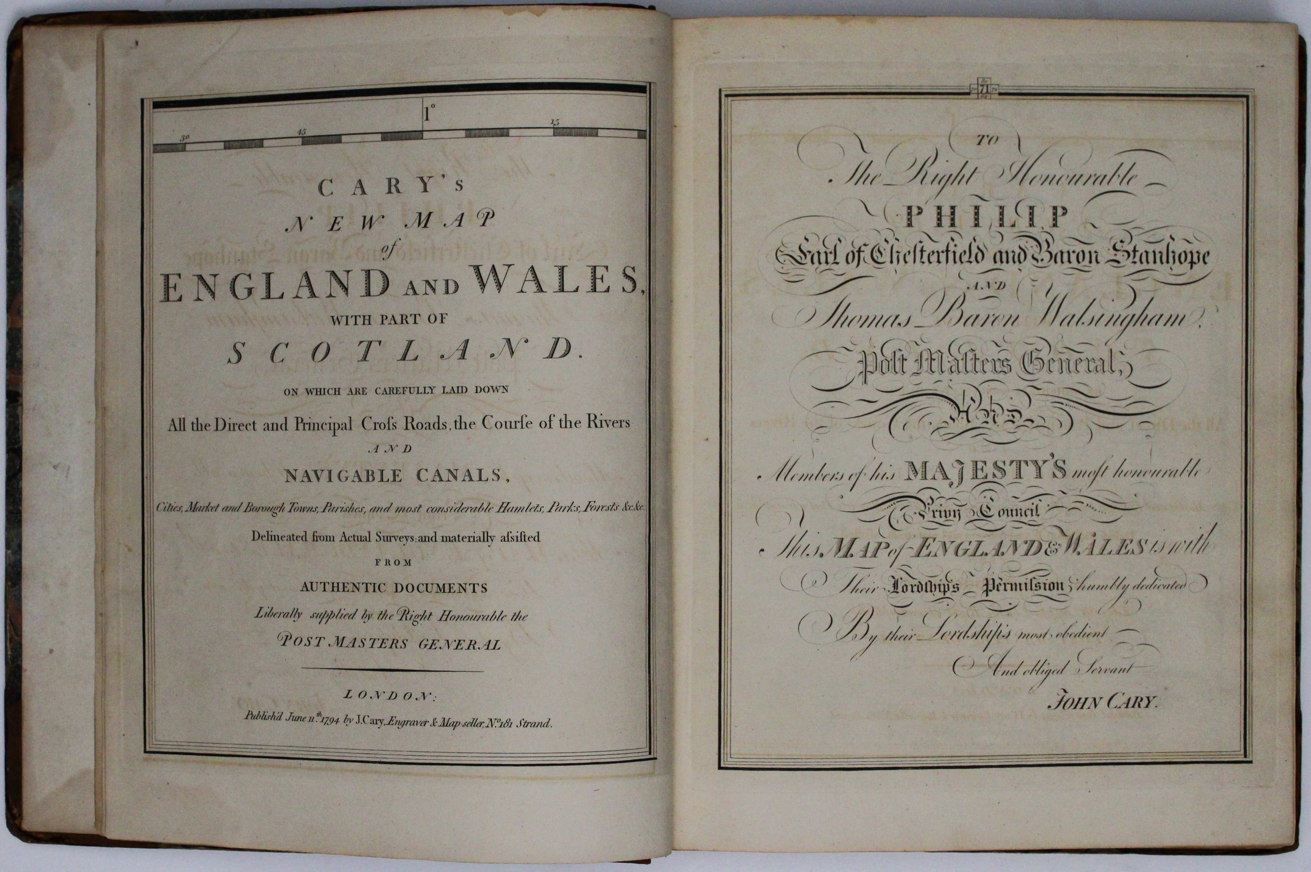
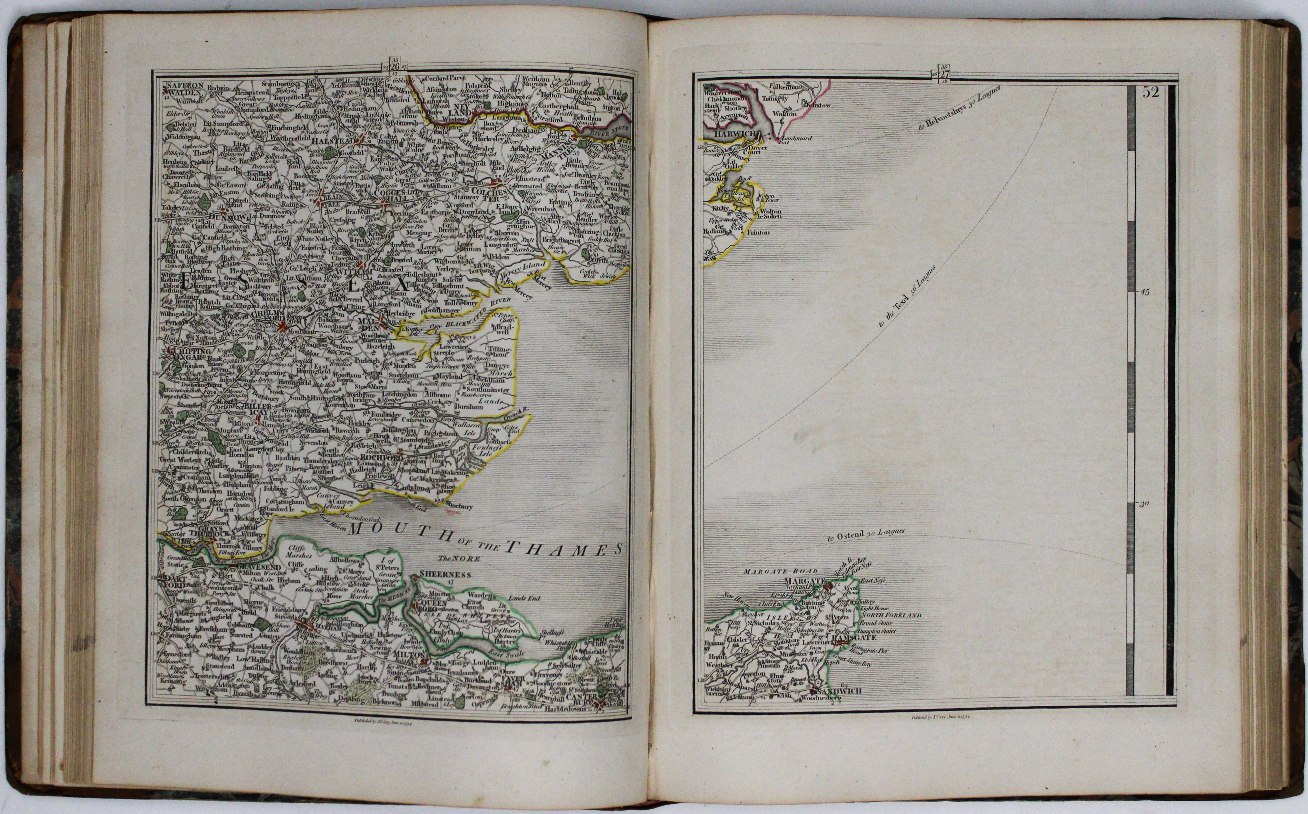
Cary’s new map of England and Wales, with part of Scotland. On which are carefully laid down All the Direct and Principal Cross Roads the Course of the Rivers and navigable canals Cities, Market and Borough Towns, Parishes, and most considerable Hamlets, Parks, Forests &c. &c. Delineated from actual surveys and materially assisted from authentic documents liberally supplied by the Right Honourable the Post Masters General.
This is a characteristically clear and elegant map, issued in atlas form, by one of the leading cartographic engravers, publishers and globe-makers of the period, who was perhaps best known for his English county atlases. Read more
John Cary was apprenticed to William Palmer, a noted engraver, in 1770, and soon gained a reputation as a maker of globes, both terrestrial and celestial, becoming the foremost globe-maker of his day. However he is best known for five atlases that he engraved and published. Four were county atlases of England and Wales, including the "New And Correct Atlas", while the fifth was a world atlas, the "New Universal Atlas", published in 1808.
Condition & Materials
Small folio (32 cm tall), pp. 14 (routes from London to every market town), 88 (index of places) + engraved title (sheet 80), dedication (71), index map, and 76 further copper engraved map-sheets with original hand colour (including legend, sheet 72, and scale, 63) which could be put together to create a single large map.
The remaining maps are numbered as follows: 1-61, 64-70, 73-79,81; sheet 62 (entirely blank, part of the North Sea) is not bound in as usual. Contemporary half calf, rebacked, corners and covers worn. Fordham notes that ‘this appears to be the first map upon which the meridian of Greenwich is substituted for that of London (or more exactly St Paul’s Cathedral) which had been in use on English maps since its introduction by John Seller in 1676’. Our edition is dated May 1804 beneath the publisher’s advertisements at the end of the letterpress. A completely revised second edition was published in 1816.
References
Fordham, John Cary, pp. 46-47
Variant of ESTC T149022 and N48119 (the 1794 issues). Read less