£250.00


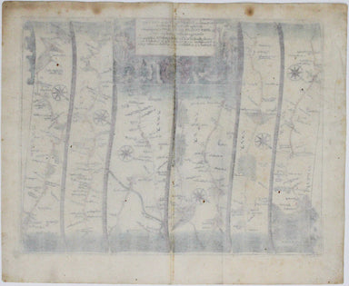
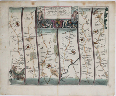
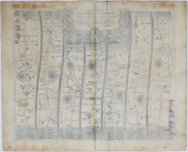
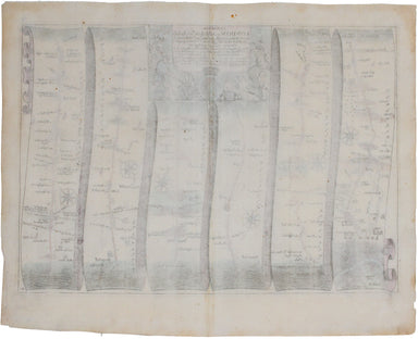
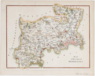
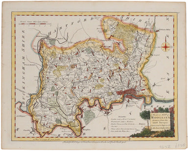
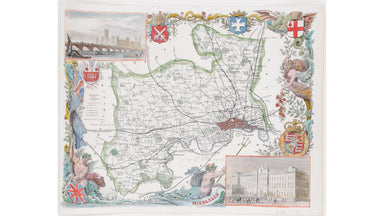
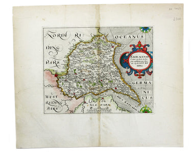
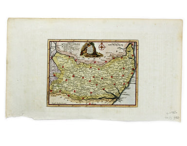
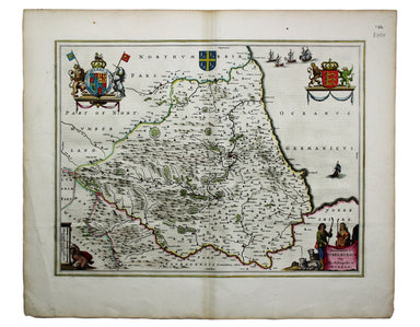
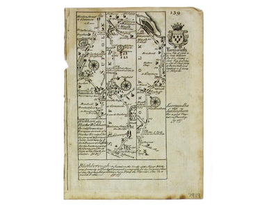
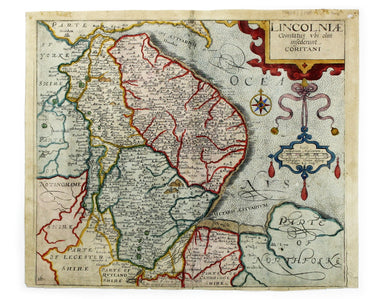
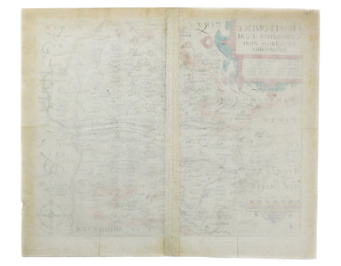
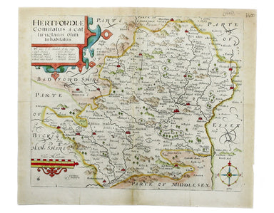
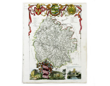
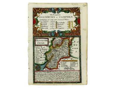
Ogilby's Road from Coventry to Derby
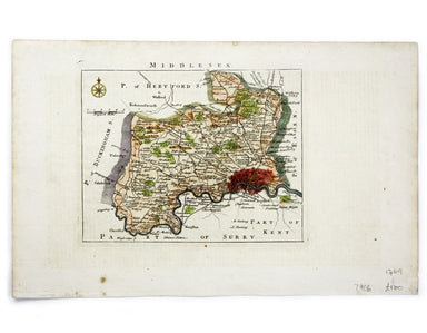
The Road from Oxford to Coventry continued to Darby... This map was published as sheet 82 in the 1698 folio edition of Ogilby’s pioneering road atl...
View full details