£1,500.00


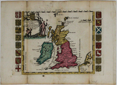
Wallis' Locomotive Game of Railroad Adventures
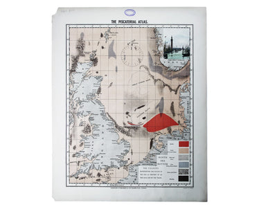
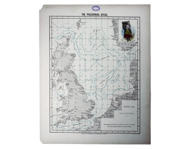
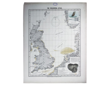
Britannia sits in the central panel of this cartographic board game, contemplating possibilities for commerce and the arts opened up by the new rai...
View full details