


Admiralty Chart of the Bangka Strait
SKU: 8743
Title:
Admiralty Chart of the Bangka Strait
Date of publication:
Printed Measurement:
Colour:
Mapmaker:
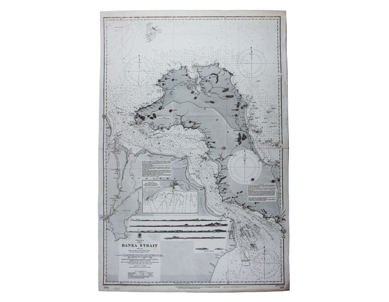
China Sea – Banka Strait
This chart of the Bangka Strait was first published in 1858, but revised from British and Dutch surveys. Read more
Bangka and Sumatra, in modern Indonesia, were part of the Dutch East Indies.
Condition & Materials
Engraved British chart, sheet size 101 x 67 cm, black and white, engraved by John and Charles Walker, centrefold; shows soundings etc, with interior detail of relief, roads and settlements.
A Note on Shipping
Shipping rates are not available for this item. Select ‘pick up’ at checkout to collect it from the shop, or contact us for a custom quote. We will email you an invoice for the item price plus shipping, and you can complete the transaction securely online. Read less