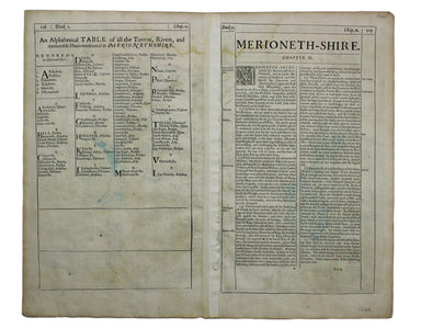
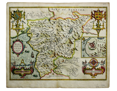
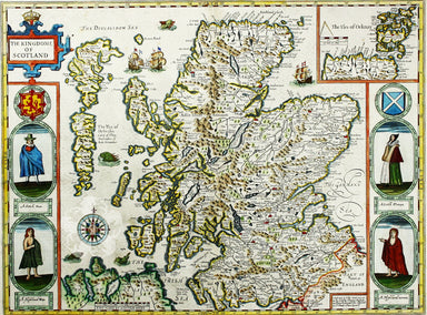
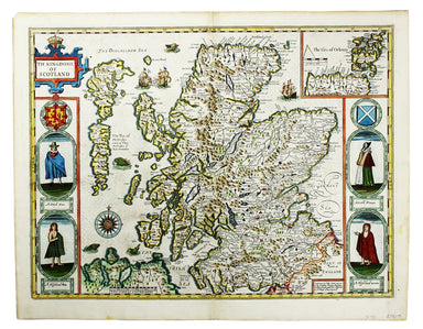
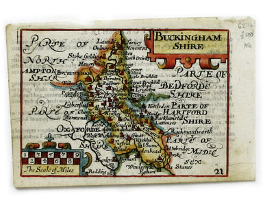
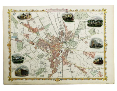
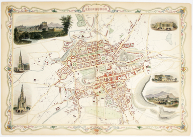
Speed’s Map of Merionethshire
This map of Merionethshire includes an inset town-plan of Harlech. John Speed (1552-1629) is unquestionably the most significant English map-maker ...
View full details
This map of Merionethshire includes an inset town-plan of Harlech. John Speed (1552-1629) is unquestionably the most significant English map-maker ...
View full details
Cartographically Speed follows Mercator, but his is one of the most distinctive and decorative early maps of Scotland. The portraits in the borders...
View full details
The Countie of Westmorland and Kendale the cheif towne described John Speed (1552-1629) is unquestionably the most significant English map-maker of...
View full details
This map of Buckinghamshire is from the so-called miniature Speed. This miniature atlas used maps by van den Keere to illustrate a pocket edition o...
View full details
A chart of part of the coast of Cochin-China including Turon Harbour and the island Callao from an actual survey in June 1793. By HW Parish of the ...
View full details
Condition & Materials Steel engraving, 25 x 33 cm, recent hand colour, blank verso; map of Bradford
This map of Edinburgh is one of the town plans in Tallis’ hugely popular ‘Illustrated Atlas’ which was published serially from the mid 1840s onward...
View full details
This map of Dominica is from 'The Gentleman's Magazine'. It was published after the French recaptured the island during the Anglo-French War of 177...
View full details
[Title-page] Atlas Novus This title-page shows Europe, seated, accepting tribute from the other continents: Asia, Africa and America. In the foregr...
View full details
[Title-page] Le Nouveau Theatre du Monde ou Nouvel Atlas, Tome Troisieme Copper engraved title-page, 37.5 x 23.5 cm, later hand-colour, blank verso...
View full details
Cassell's 'immense map' of London was prepared for the Weekly Dispatch and published in nine parts between January 1861 and April 1862. This exampl...
View full details