£750.00
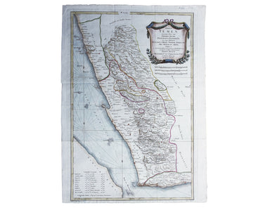
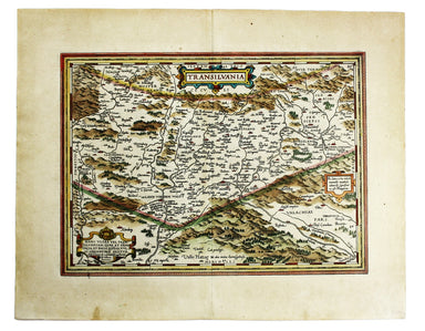
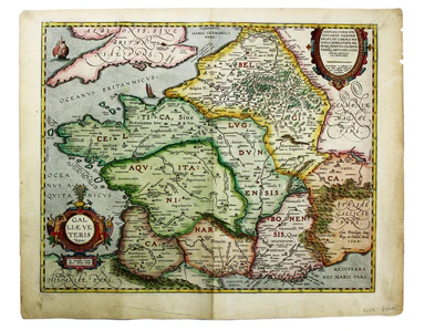
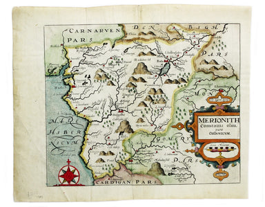
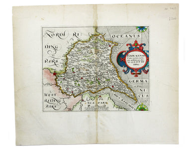
Niebuhr’s Map of Yemen
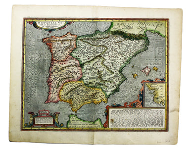
Terrae Yemen maxima Pars seu Imperii Imami, Principatus Kaukebân, nec non ditionum Haschid u Bekîl, Nehhm, Chaulân, Abu Arîsch Et Aden, Tabula ex o...
View full details