

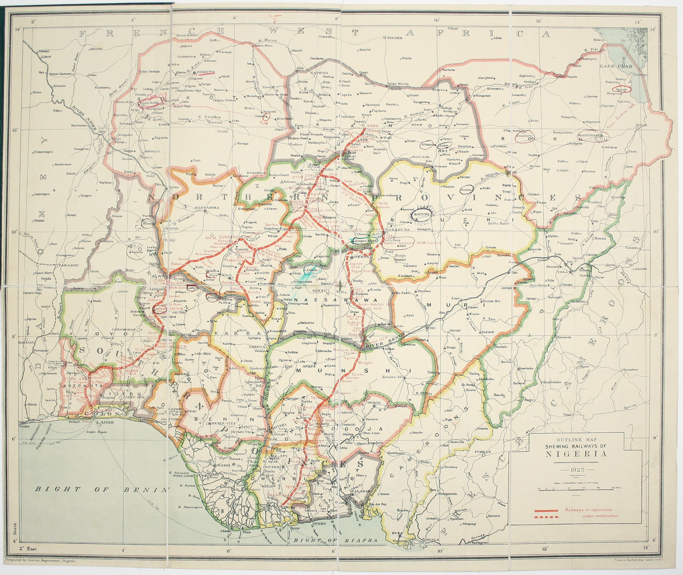
Stanford’s Map of the Railways of Nigeria
SKU: 9451
Title:
Stanford’s Map of the Railways of Nigeria
Date of publication:
Printed Measurement:
Publisher:
Colour:
Mapmaker:
Outline Map shewing Railways of Nigeria
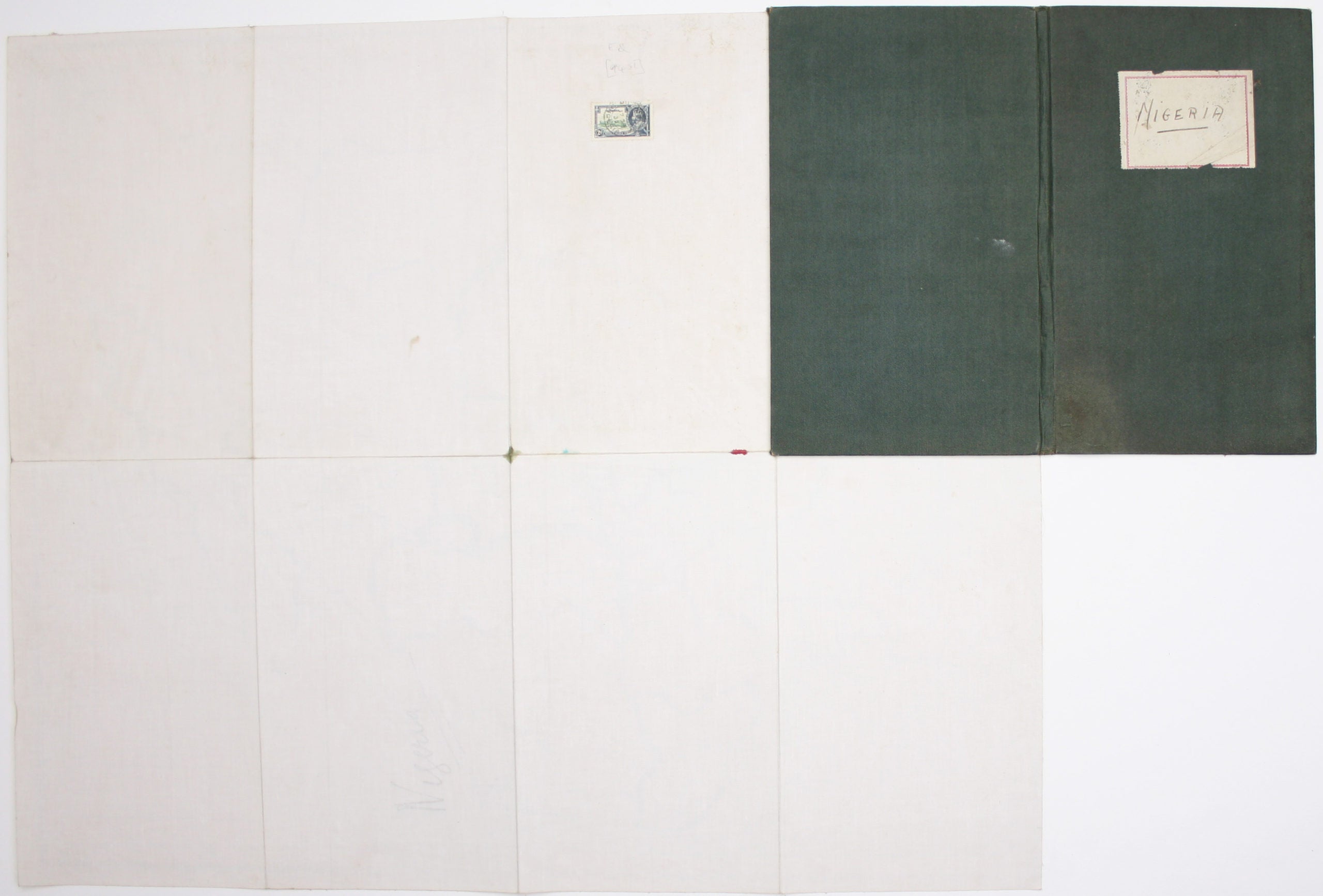
The map shows the railways of Nigeria completed and under construction. A gummed Nigerian revenue stamp has been franked on the verso. Several places have been circled in red, green or black ink by an anonymous early owner, some accompanied by dates (1931-1937), presumably representing an itinerary. Read more
Condition & Materials
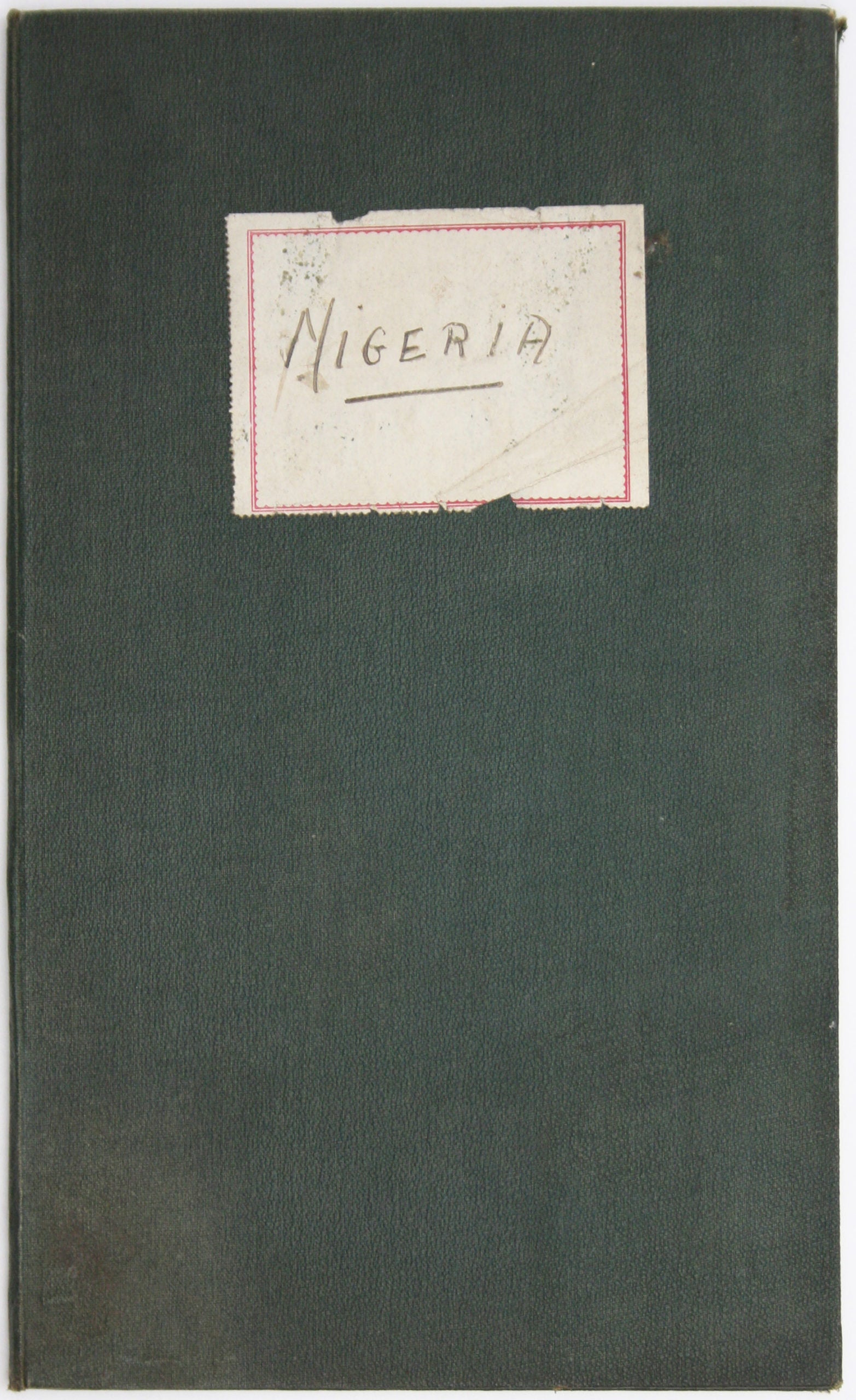
Folding map, 61 x 73 cm, printed in colours, dissected into 8 panels and laid on linen, folding into green cloth covers with handwritten paper label. Read less