

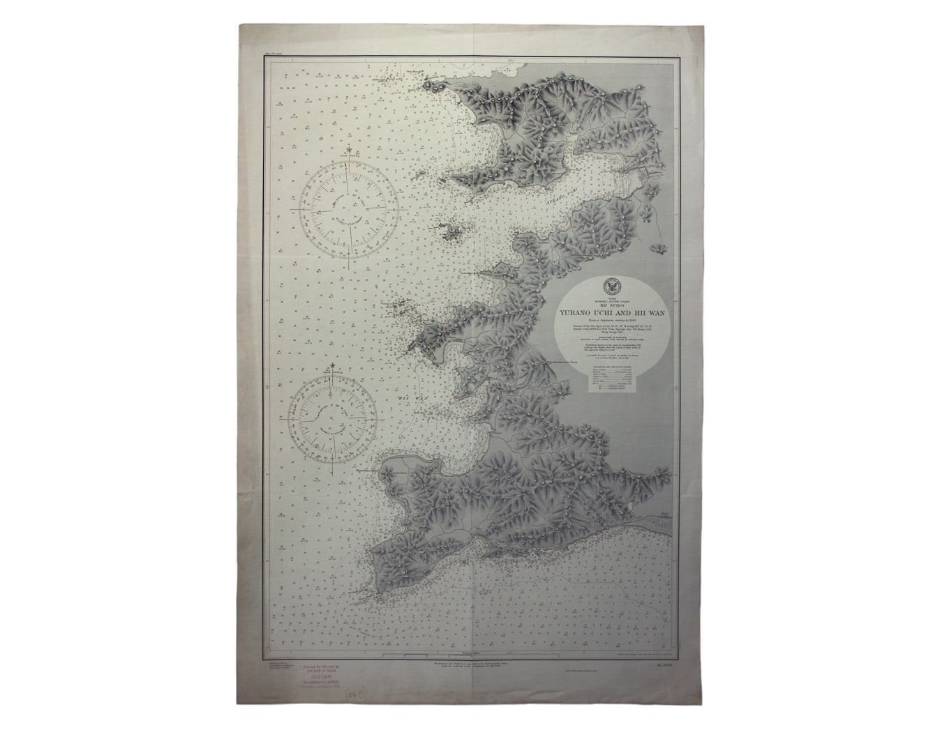
US Naval Chart of the South Coast of Honshu
SKU: 8670
Title:
US Naval Chart of the South Coast of Honshu
Date of publication:
Printed Measurement:
Colour:
Mapmaker:
Japan – Honshu – South Coast – Kii Suido – Yurano Uchi and Hii Wan
This sea chart covers a stretch of coastline to the south of Osaka and Wakayama on the main island of Japan. Read more
Condition & Materials
US naval chart, sheet 2579, sheet size 78 x 53 cm, black and white, ink stamp confirming corrections to November 1911, old folds, blank verso; detail includes soundings, anchorages, relief and the principal roads, settlements etc. Read less