

Bacon’s Map of Central Area Stations
SKU: 8376
Title:
Bacon’s Map of Central Area Stations
Date of publication:
Printed Measurement:
Publisher:
Colour:
Mapmaker:
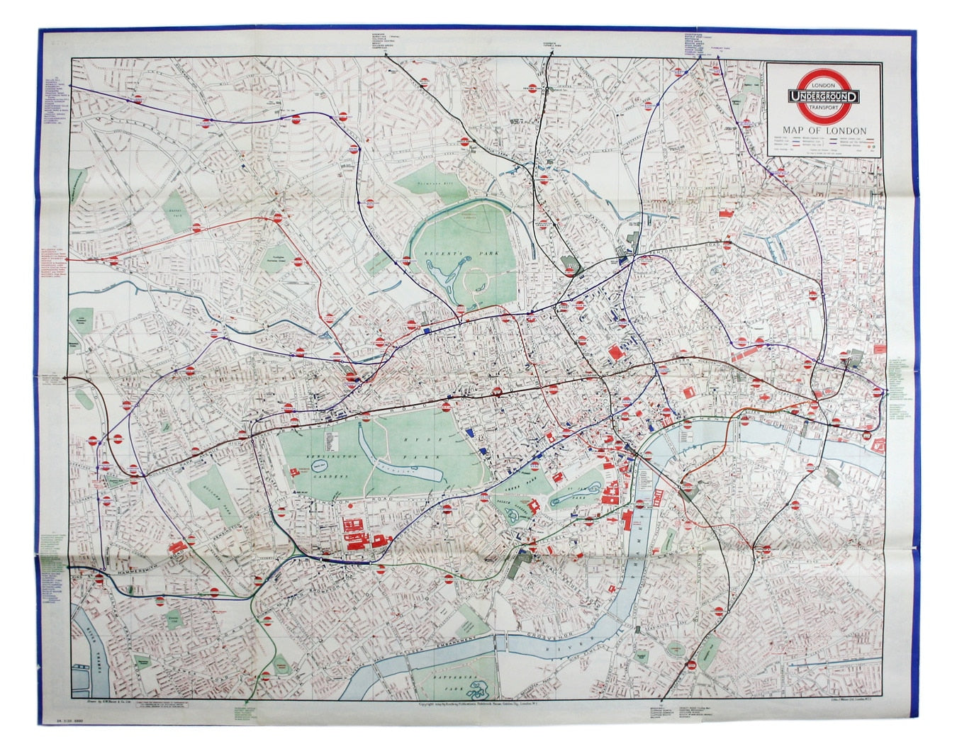
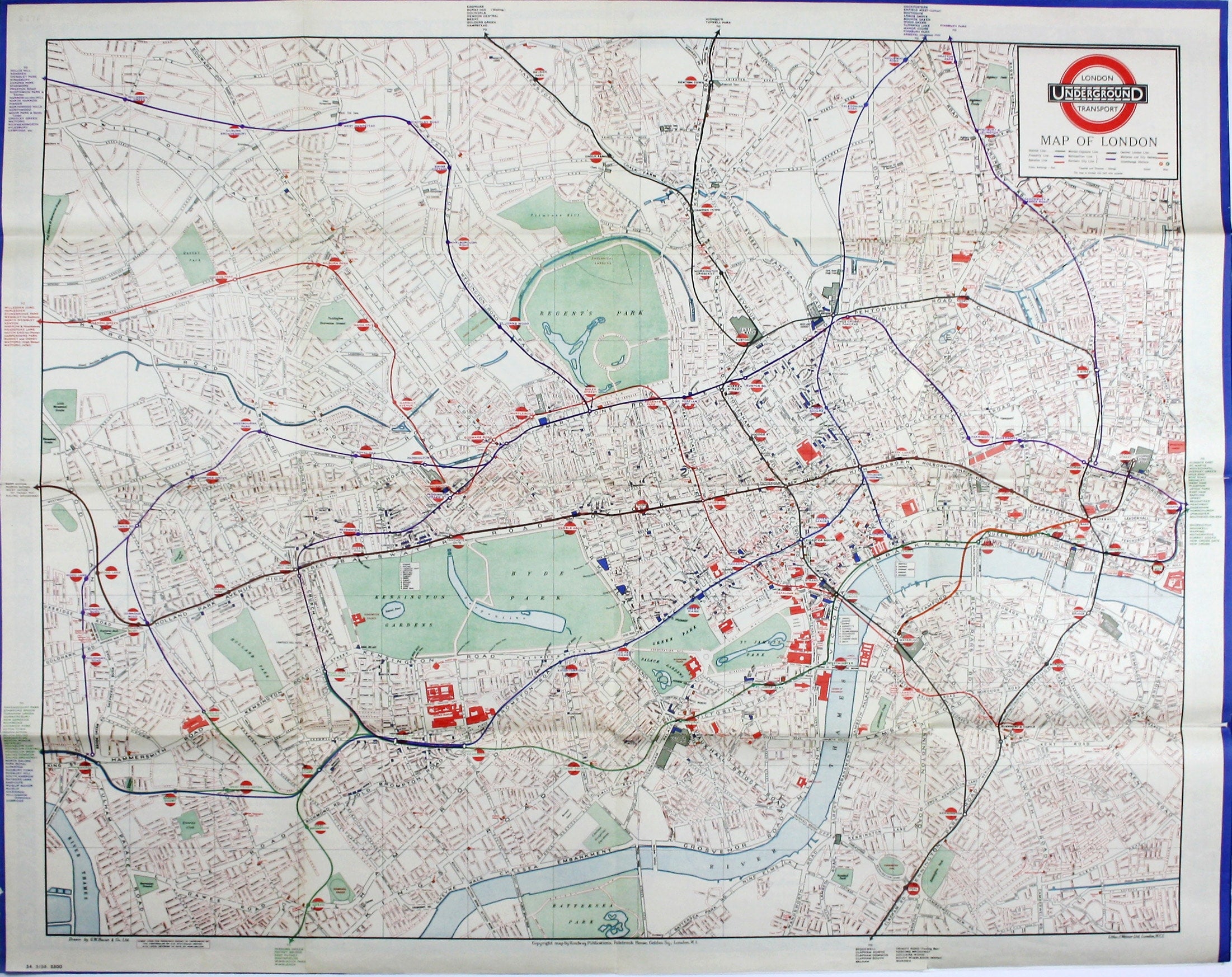
The first edition of this map was printed in 1932 but the introduction of Beck's diagram in 1933 did not obviate the need for geographically accurate maps, which pinpointed the location of Underground stations in the central area in relation to the surface topography. The lines themselves, though colour-coded, are given minimal prominence so as not to disrupt the street plan.
The red discs denoting stations are in the style of the earliest roundels, introduced in 1908 and superseded by the modern bar and circle bullseye in 1917. In the context of this map, even in minute form, they prove a highly effective means of drawing the eye to the stations without intruding greatly on the surrounding cartography. Read more
The map was printed under licence from G.W. Bacon & Co, Ltd, a firm noted for its large-scale mapping of London, whether in the form of folding maps or the detailed Atlases of London and Suburbs published from the 1880s onwards.
Condition & Materials
Quad royal station wall map, 101.5 x 127 cm, printed in colours, blank verso; an extremely detailed map of central London published for display in stations across the Underground network.
A Note on Shipping
Shipping rates are not available for this item. Select ‘pick up’ at checkout to collect it from the shop, or contact us for a custom quote. We will email you an invoice for the item price plus shipping, and you can complete the transaction securely online.
Read less