£125.00
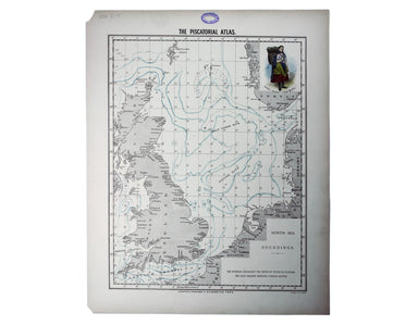
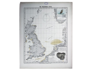
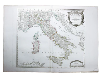
Ortelius’ Miniature Map of the Kingdom Of Naples
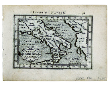
Typus Regni Neapolitani This map of the Kingdom of Naples is from the second series of maps engraved by Philip Galle for the Epitome, the pocket at...
View full details