£40.00
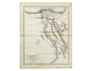
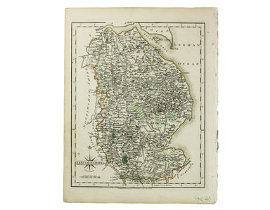
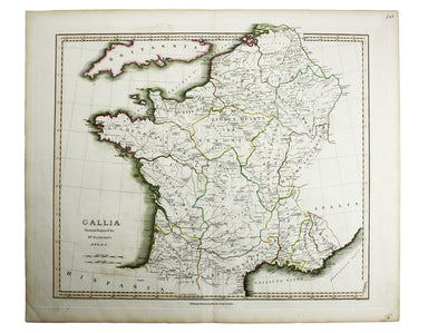
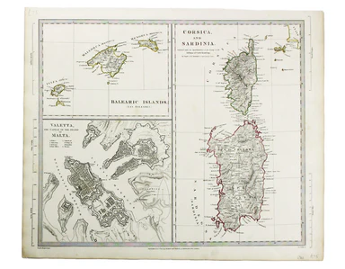
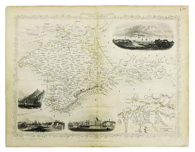
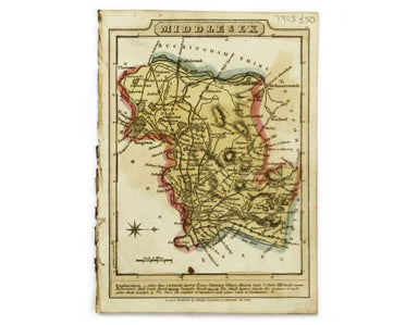
Butler’s Map of Ancient Egypt
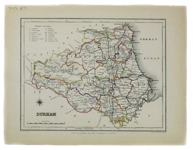
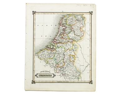
This map of ancient Egypt is from Butler's Atlas of Ancient Geography and was engraved by Sidney Hall. Condition & Materials Copper engraving,...
View full details