


Tallis’ Map of Crimea
SKU: 7311
Title:
Tallis’ Map of Crimea
Date of publication:
Printed Measurement:
Colour:
Mapmaker:
Engraver:
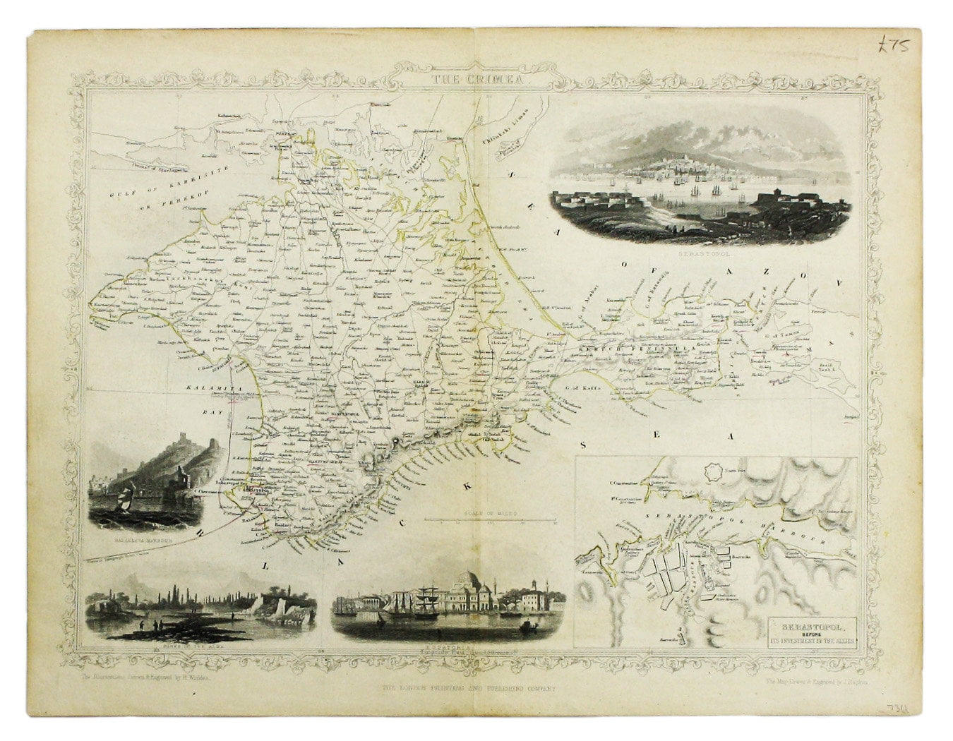
This map of Crimea was engraved by John Rapkin for the Illustrated Atlas.
The inset is described as ‘Sebastopol before its investment’ (i.e. before the Crimean War); the map also marks the landing of the Allied armies in Kalamita Bay.
Read more
Condition & Materials
Steel engraving, 26 x 33 cm, original outline colour, slight toning, blank verso. Read less