

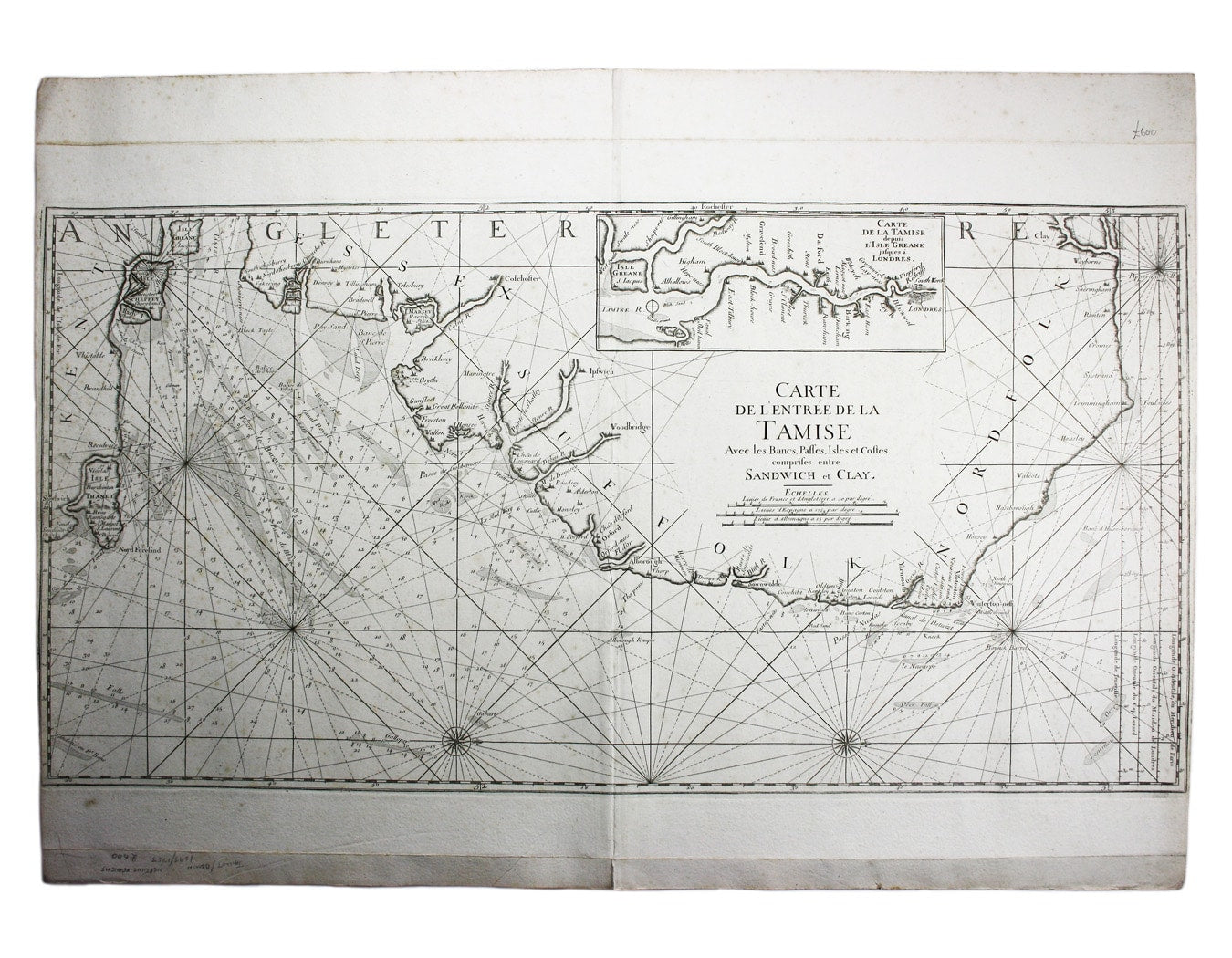

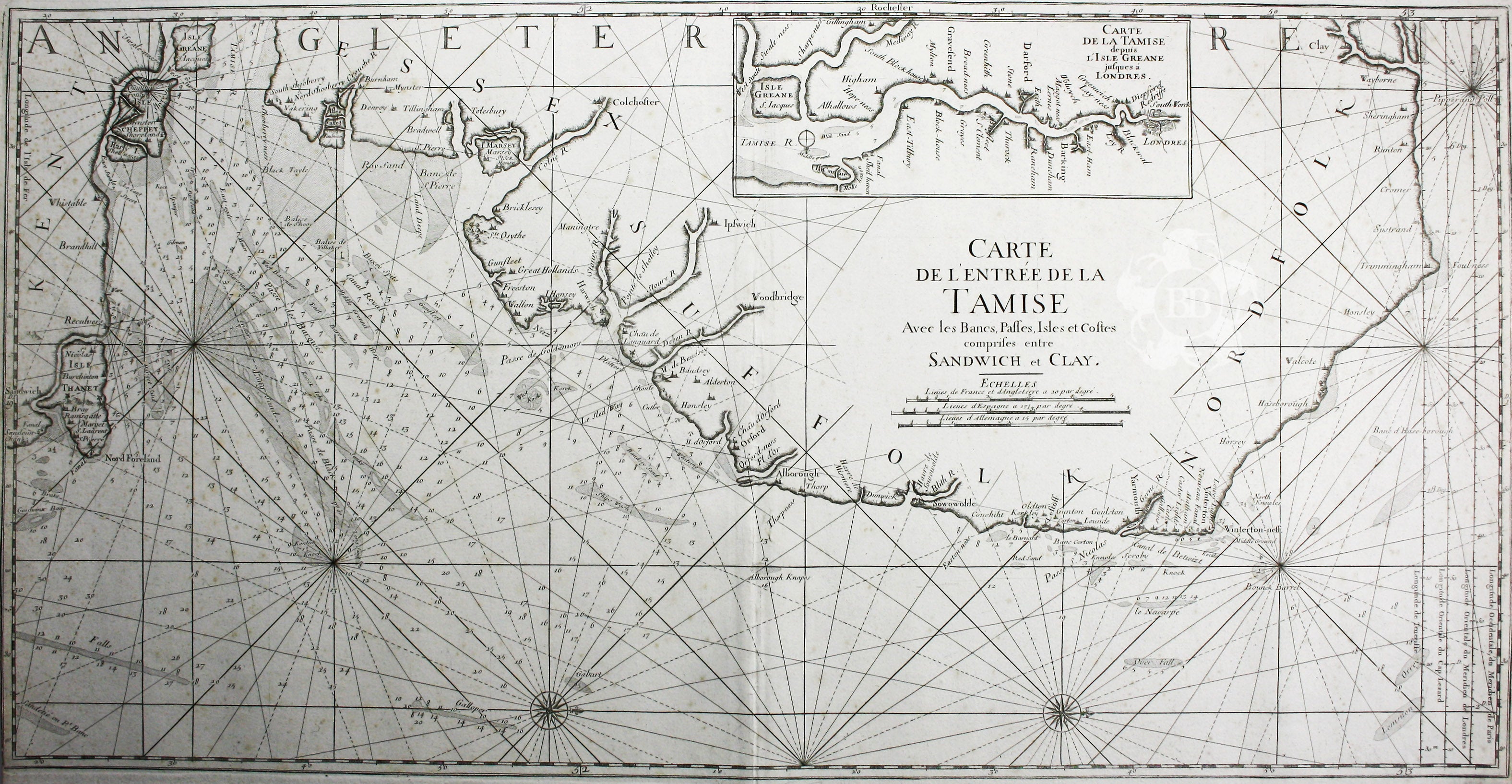
Bellin’s Map of the Thames Estuary
SKU: 8233
Title:
Bellin’s Map of the Thames Estuary
Date of publication:
Printed Measurement:
Colour:
Mapmaker:
Carte de l’entrée de la Tamise, avec les Bancs, Passes, Isles et Costes comprises entre Sandwich et Clay
This is a revised version of a chart which first appeared in the pioneering ‘Neptune François’, published by Jaillot in 1693. The revisions took place under the direction of Jacques Nicolas Bellin the elder (1703-1772) immediately prior to the outbreak of the Seven Years' War. Read more
Bellin was the first chief hydrographic engineer of the "Dépôt des cartes, plans et journaux du Ministère de la Marine," charged by the French king with mapping the coasts of France first and then the rest of the world. He was highly regarded on both sides of the Channel; he was a member of the Royal Society of London.
Condition & Materials
Copper engraved sea chart, 56 x 90 cm, with map of the Thames Estuary inset, showing sandbars, soundings and coastline; right and left hand margins close, blank verso. Read less