

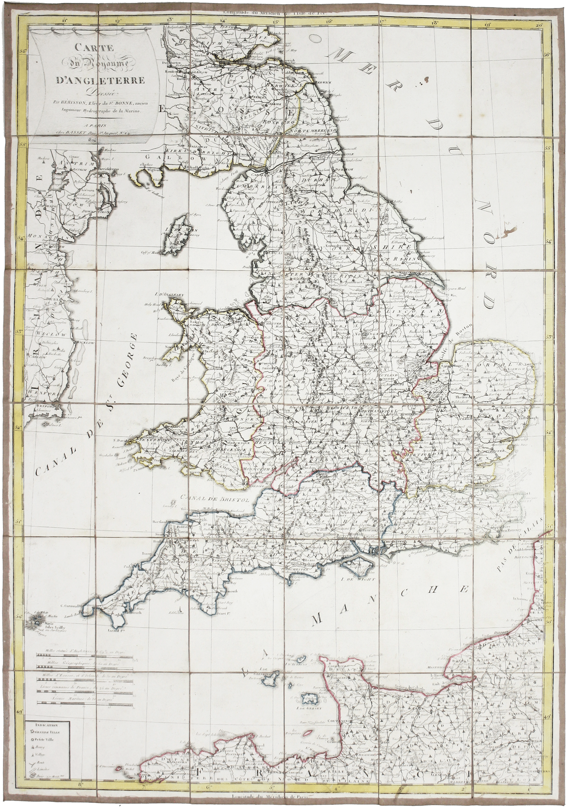
Hérisson’s Map of England & Wales
SKU: 9316
Title:
Hérisson’s Map of England & Wales
Date of publication:
Printed Measurement:
Publisher:
Colour:
Mapmaker:
Carte de Royaume d’Angleterre dressé par Hérisson, elêve du Sr. Bonne, ancien Ingénieur Hydrographe de la Marine
Eustache Hérisson (1759-1816) was a pupil of Rigobert Bonne, active from the late 1770s, who seems to have been most prolific as a map-maker during the First Empire; many of his maps continued to be reissued posthumously, as here.
Read more
Condition & Materials
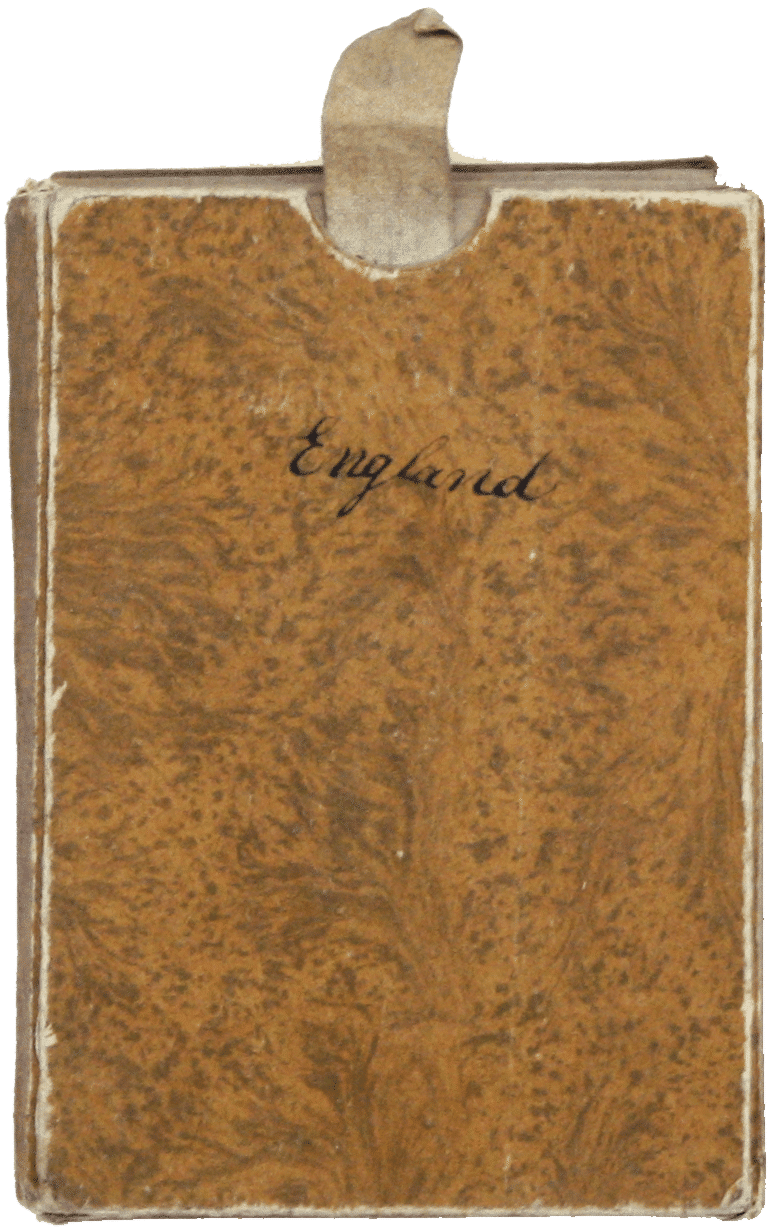
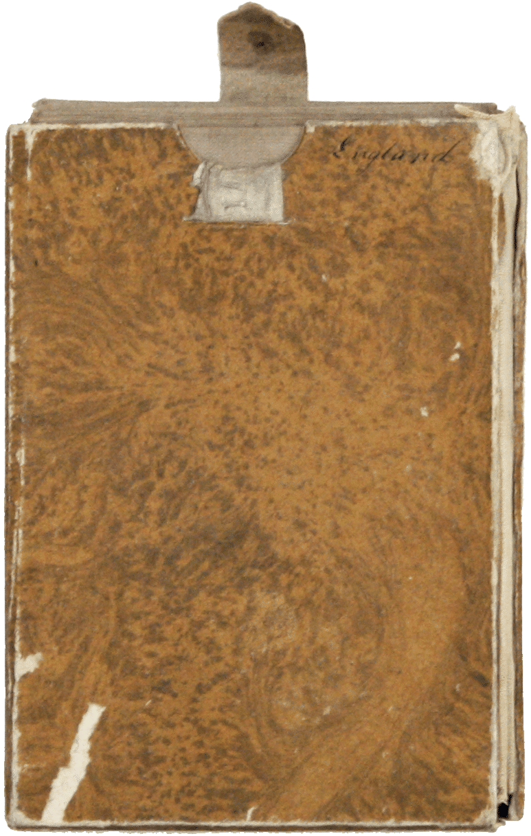
Copper engraving, 79.5 x 55 cm, original hand colour in outline, dissected into 36 panels and laid on linen, folding into slipcase, which has split along one edge and repaired with linen; title ‘England’ inked to slipcase and verso of the map. Read less