

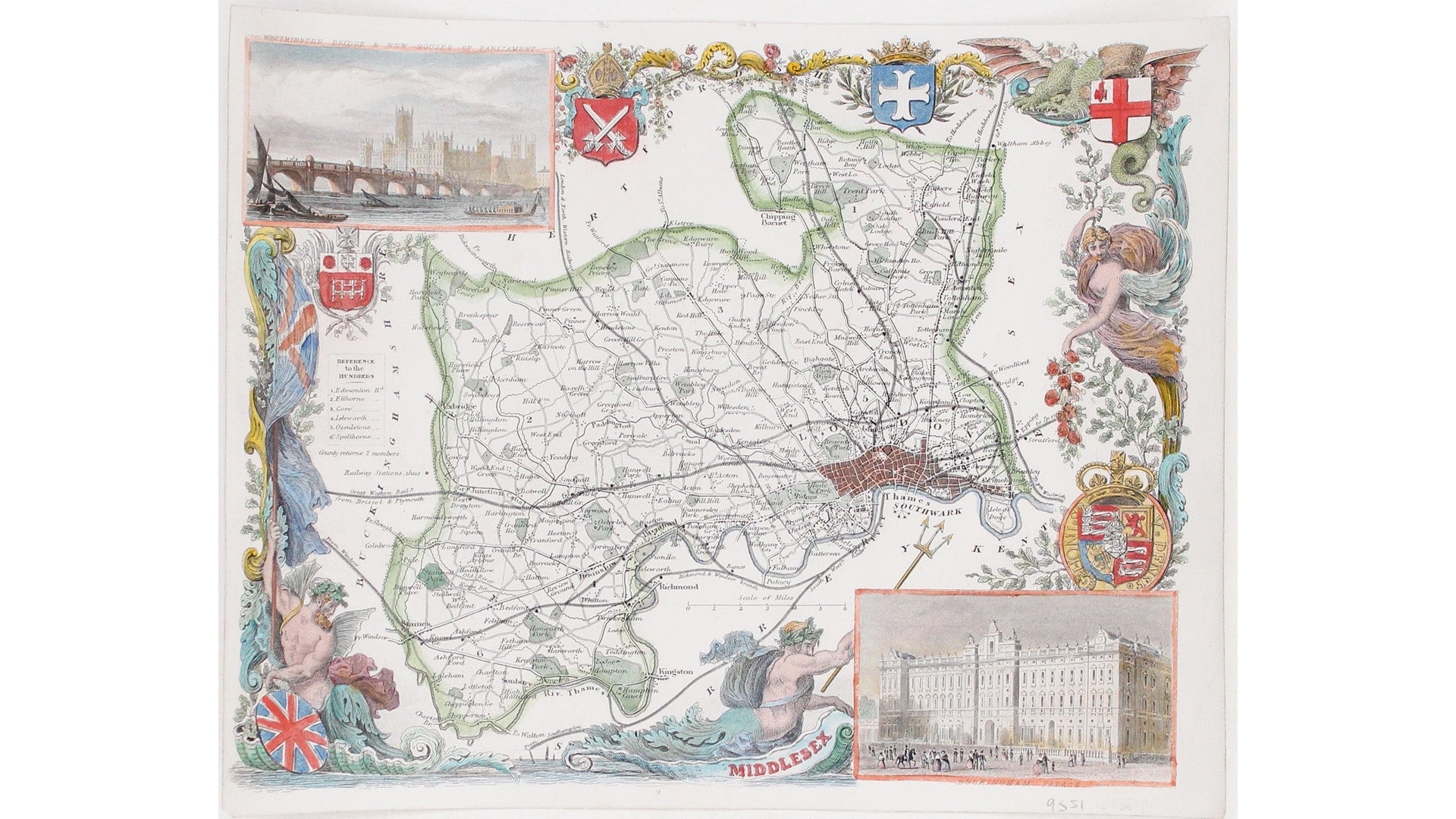
Moule's Map of Middlesex
SKU: 9551
Title:
Moule's Map of Middlesex
Date of publication:
Printed Measurement:
Colour:
Mapmaker:
This map of Middlesex is illustrated with vignettes of Buckingham Palace (before its early 20th century re-modelling) and the ‘new’ Houses of Parliament (then under construction; the Clock Tower, completed in 1859, is not shown).
Thomas Moule was a bookseller, writer on heraldry and publisher who commissioned what is generally considered to be the last really decorative series of English county maps. Read more
The maps were first issued in monthly parts with a simple single-colour wash between 1830-37, but were issued black and white thereafter, mostly being used to illustrate editions of ‘English Counties Delineated’ and ‘Barclay's Dictionary’. Later editions were updated with the new railways, as here.
Condition & Materials
Steel engraving, 20 x 25.5 cm, recent hand-colour, blank verso. Read less