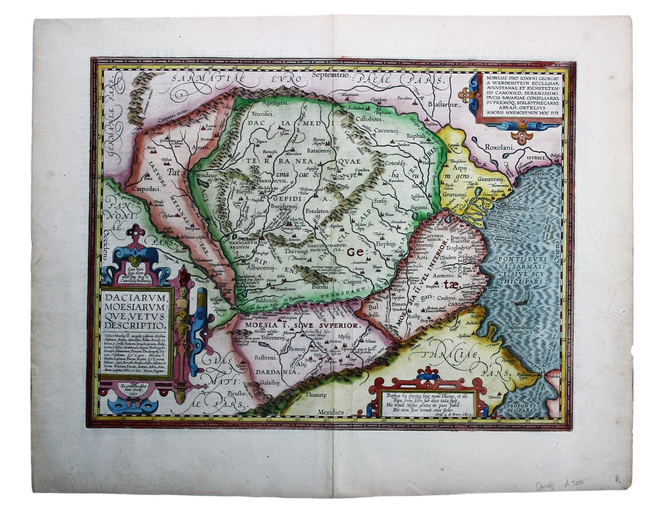
Ortelius’ Map of Roman Dacia & Moesia
SKU: 8000
Title:
Ortelius’ Map of Roman Dacia & Moesia
Date of publication:
Printed Measurement:
Publisher:
Colour:
Mapmaker:
Engraver:
Daciarum, Moesiarumque, vetus descriptio
This map of Ancient Dacia and Moesia, modern Romania and Bulgaria on the Black Sea was published by Balthasar Moretus at the Plantin Press, in the final edition of the Parergon. Read more
Ortelius's Theatrum Orbis Terrarum is generally considered the first modern atlas of the world, originally published in 1570. Ortelius gathered and selected the best available cartographic knowledge and presented it in a single volume, duly credited and finely engraved in a consistent style, with explanatory text.
The Theatrum was very decorative and hugely popular amongst the wealthy and educated, running into over forty editions in Latin and the major European languages. For Ortelius himself, however, his accompanying atlas of ancient geography, the Parergon, was a 'personal work'. He seems to have regarded himself, first and foremost, as an antiquary and, rather than copying other people's maps, he drew the originals himself; they were subsequently engraved for him by the master engraver Jan Wierix. The results “have to be evaluated as the most outstanding engravings depicting the wide-spread interest in classical geography in the 16th century."
Condition & Materials
Copper engraving, 36 x 46 cm, modern hand colour, Latin text on verso.
References
Koeman, Atlantes Neerlandici, Ort 46. Van den Broecke 212.2
Read less


