Bryars & Bryars
Ortelius’ Map of the Baltic: Livonia, Pomerania & the Silesian Duchies
Ortelius’ Map of the Baltic: Livonia, Pomerania & the Silesian Duchies
Couldn't load pickup availability
Pomeraniae Wandalicae Regionis Typ. [on sheet with] Livoniae Nova descriptio [and] Ducatus Oswieczensis et Zatoriensis Descriptio
An early example of this particular map, which was first printed in the Dutch, German and Latin editions of Abraham Ortelius’ ‘Theatrum Orbis Terrarum’ in 1573.
The Theatrum is generally considered the first modern atlas of the world, first published in 1570. Ortelius gathered the best available cartographic knowledge and presented it in a consistent style in a single volume, with text. His atlas was was very decorative and hugely popular amongst the wealthy and educated, running into over forty editions in Latin and the major European languages.
Pomerania, running along the Baltic coast between Rostock and Gdansk, is now divided between Germany and Poland; Livonia covers much of modern Latvia and Estonia; the Duchies of Oswiecim and Zator were two of the Duchies of Silesia, in modern Poland.
Condition & Materials
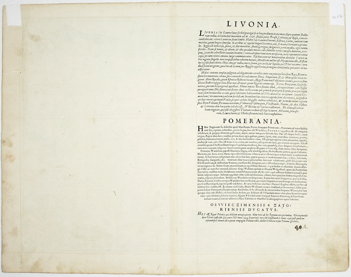
Three engraved maps on one sheet, 38.5 x 50 cm, black and white, very faintly red-ruled, slight marginal soiling, Latin text on verso; old tabs on verso, where previously mounted.
References
Van den Broecke no. 158.
Share