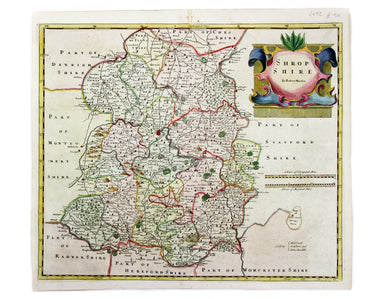
Morden’s Map of Shropshire
This map of Shropshire was engraved to accompany Gibson’s edition of Camden’s Britannia, first published in 1695. Condition & Materials Copper ...
View full details

This map of Shropshire was engraved to accompany Gibson’s edition of Camden’s Britannia, first published in 1695. Condition & Materials Copper ...
View full details
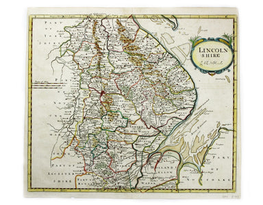
This map of Lincolnshire was engraved to accompany Gibson’s edition of Camden’s Britannia, first published in 1695. Condition & Materials Coppe...
View full details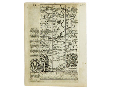
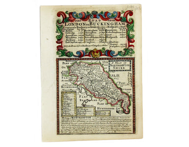
This map of Northamptonshire was engraved by Emanuel Bowen for John Owen’s Britannia Depicta, a pocket road book derived from Ogilby’s innovative a...
View full details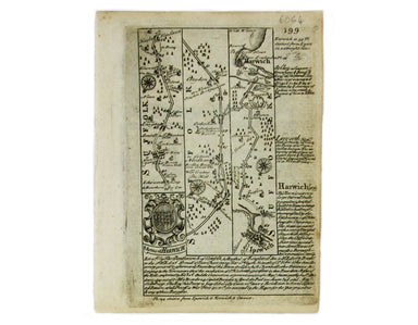
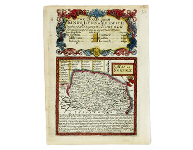
This map of Norfolk was engraved by Emanuel Bowen for John Owen’s Britannia Depicta, a pocket road book derived from Ogilby’s innovative atlas of ...
View full details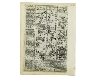
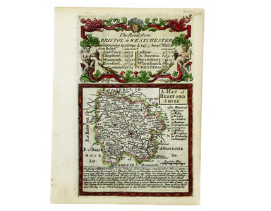
This map of Herefordshire was engraved by Emanuel Bowen for John Owen’s Britannia Depicta, a pocket road book derived from Ogilby’s innovative atla...
View full details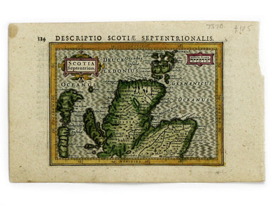
This map of Northern Scotland is from the first edition of Tabularum geographicarum contractarum libri, a geographical work which is normally catal...
View full details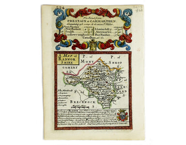
This map of Radnorshire was engraved by Emanuel Bowen for John Owen’s “Britannia Depicta”, a pocket road book derived from Ogilby’s innovative atla...
View full details
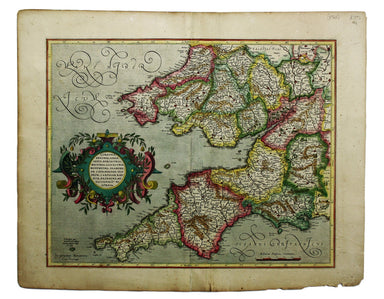
This is the southwestern sheet of Mercator’s five regional maps of England and Wales; Janssonius revised the decorative elements in the 1630s, but ...
View full details
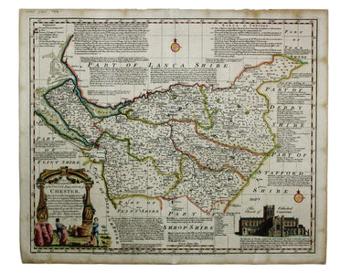
An Accurate Map of the County Palatine of Chester […] Condition & Materials Copper engraving, 41.5 x 50.5 cm, map of Cheshire with original han...
View full details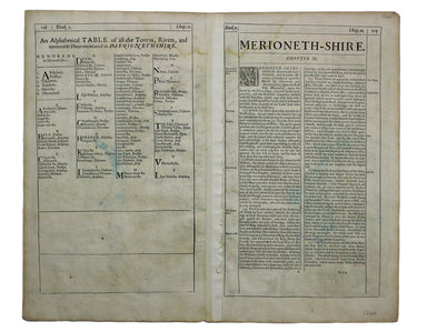
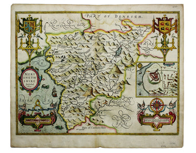
This map of Merionethshire includes an inset town-plan of Harlech. John Speed (1552-1629) is unquestionably the most significant English map-maker ...
View full details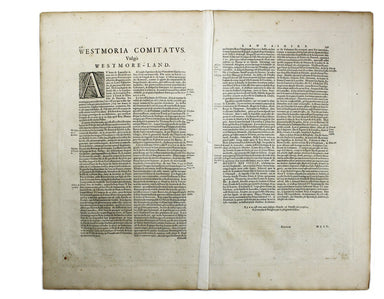
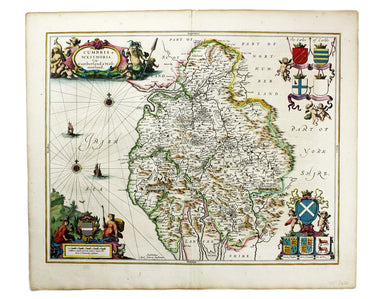
Cumbria & Westmoria. Vulgo Cumberland & Westmorland Joannes Janssonius II (1588-1664) married into the Hondius family and, with Henricus Ho...
View full details
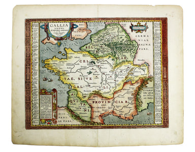
This map of Ancient Gaul was engraved on the basis of Caesar’s commentaries on the Gallic Wars, his first hand account of the campaign. The text on...
View full details
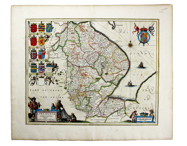
Lincolnia Comitatus Anglis Lyncolneshire Joannes Janssonius II (1588-1664) married into the Hondius family and, with Henricus Hondius, worked on a ...
View full details
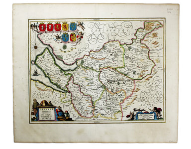
Cestria Comitatus Palatinatus. The Countye Palatine of Chester Joannes Janssonius II (1588-1664) married into the Hondius family and, with Henricus...
View full details
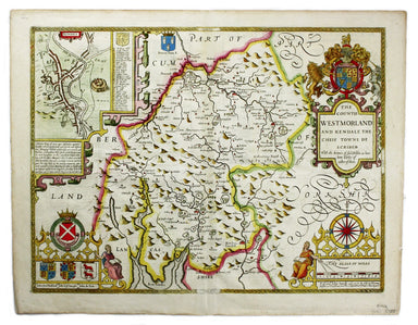
The Countie of Westmorland and Kendale the cheif towne described John Speed (1552-1629) is unquestionably the most significant English map-maker of...
View full details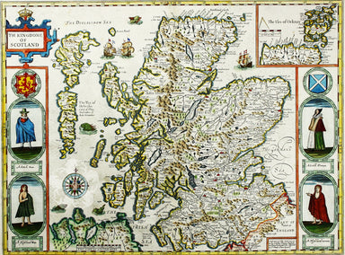
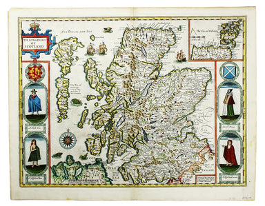
Cartographically Speed follows Mercator, but his is one of the most distinctive and decorative early maps of Scotland. The portraits in the borders...
View full details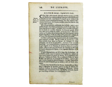
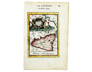
This map of Sicily is from Mallet’s Description de l’Univers, first published in Paris in 1683 and reprinted with German text in Frankfurt the foll...
View full details
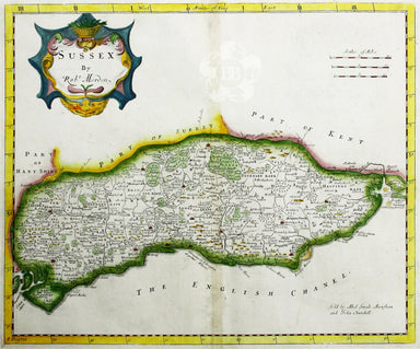
Robert Morden's map of Sussex was engraved to illustrate Gibson's edition of William Camden's Britannia, first published in 1695 and reprinted in 1...
View full details
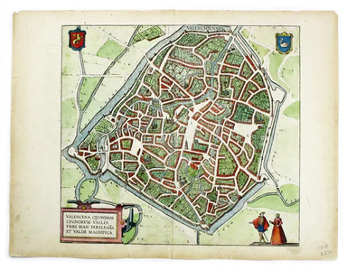
This plan of Valenciennes in northern France is from the Civitates Orbis Terrarum, one of the most significant cartographic works of the late sixte...
View full details
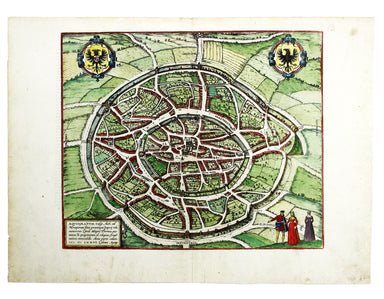
Aquisgranum A plan of Aachen, or Aix-la-Chapelle, Germany. The Civitates Orbis Terrarum was one of the most significant cartographic works of the l...
View full details
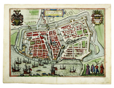
Emuda vulgo Embden A plan of Emden in northern Germany. The Civitates Orbis Terrarum was one of the most significant cartographic works of the lat...
View full details
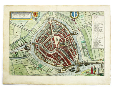
This plan of Gouda in the Netherlands is from the Civitates Orbis Terrarum, one of the most significant cartographic works of the late sixteenth-ce...
View full details
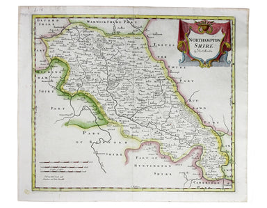
Robert Morden's map of Northumberland was engraved to illustrate Gibson's edition of William Camden's Britannia, first published in 1695 and reprin...
View full details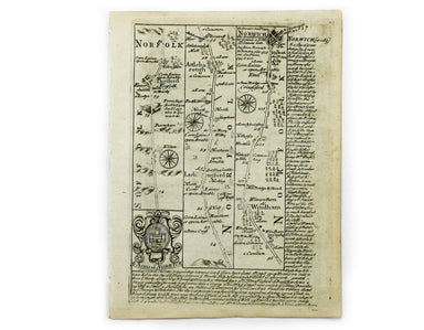
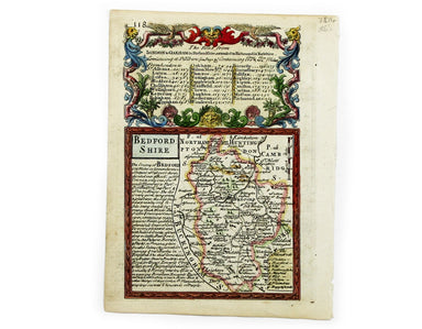
This map of Bedforshire was engraved by Emanuel Bowen for John Owen’s Britannia Depicta, a pocket road book derived from Ogilby’s innovative atlas ...
View full details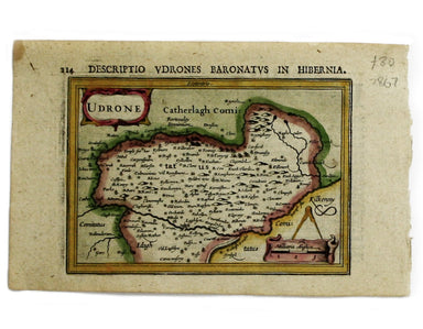
This map of Udrone from is the first edition of Tabularum geographicarum contractarum libri, a geographical work which is normally catalogued under...
View full details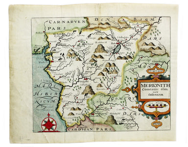
This map of Merionethshire is from the second edition of Philemon Holland’s English translation of Camden’s Britannia, the third printing from the ...
View full details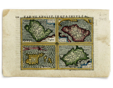
Anglesey Insula; Wight olim Vectis; Insula Garnsey; Insula Iarsay This map of Anglesey, the Isle of Wight, Guernsey and Jersey is from the first ed...
View full details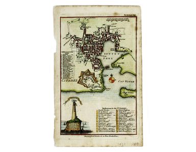
A Plan of the Town and Citadel of Plymouth in the County of Devon This map of Plymouth was published in the London Magazine and incorporates Smeat...
View full details
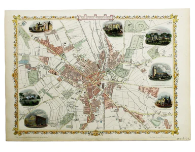
Condition & Materials Steel engraving, 25 x 33 cm, recent hand colour, blank verso; map of Bradford
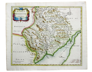
This map of Monmouthshire was engraved to accompany Gibson’s edition of Camden’s Britannia, first published in 1695. Condition & Materials Copp...
View full details
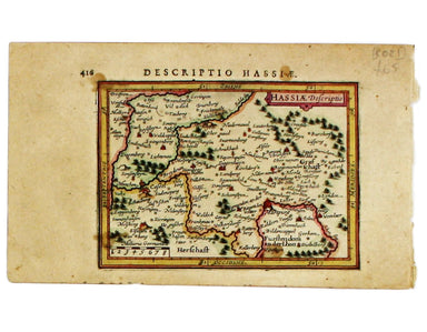
This miniature map of Hesse is from the first edition of Tabularum geographicarum contractarum libri, a geographical work which is normally catalog...
View full details
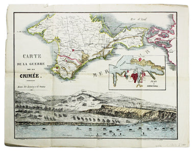
Carte de la Guerre de la Crimèe. Editèe par Lèmèrey et E. Gratier This Crimean War broadsheet map includes an inset of Sebastopol and a view of the...
View full details
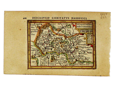
This miniature map of Nassau is from the first edition of Tabularum geographicarum contractarum libri, a geographical work which is normally catalo...
View full details
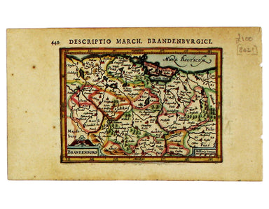
This miniature map of Brandenburg is from the first edition of Tabularum geographicarum contractarum libri, a geographical work which is normally c...
View full details
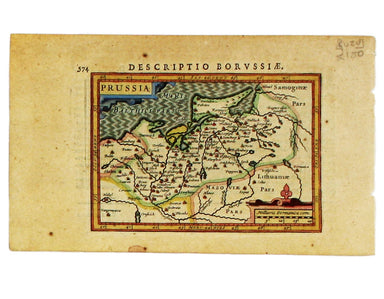
This miniature map of Prussia is from the first edition of Tabularum geographicarum contractarum libri, a geographical work which is normally catal...
View full details
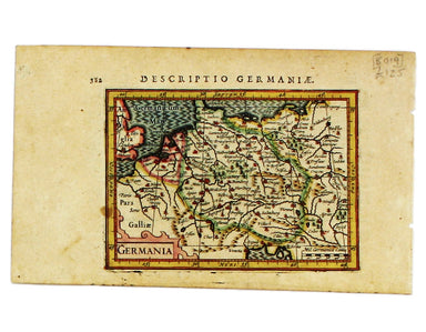
This map of Germany is from the first edition of Tabularum geographicarum contractarum libri, a geographical work which is normally catalogued unde...
View full details
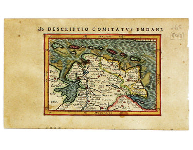
This map of Eastern Friesland is from the first edition of Tabularum geographicarum contractarum libri, a geographical work which is normally catal...
View full details
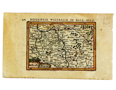
This map of Southwestern Germany is from the first edition of Tabularum geographicarum contractarum libri, a geographical work which is normally ca...
View full details
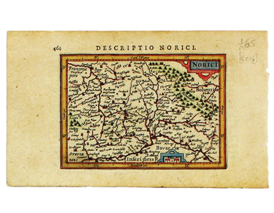
This map of Northen Bavaria is from the first edition of Tabularum geographicarum contractarum libri, a geographical work which is normally catalog...
View full details
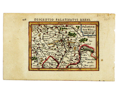
This miniature map of the Electoral Palatinate is from the first edition of Tabularum geographicarum contractarum libri, a geographical work which ...
View full details
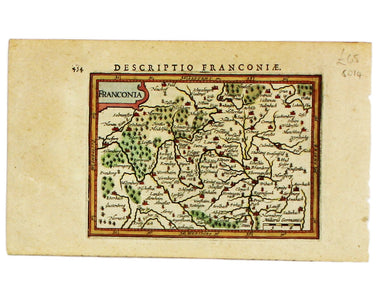
This map of Franconia, including Frankfurt and Nuremberg in modern Bavaria, is from the first edition of Tabularum geographicarum contractarum libr...
View full details
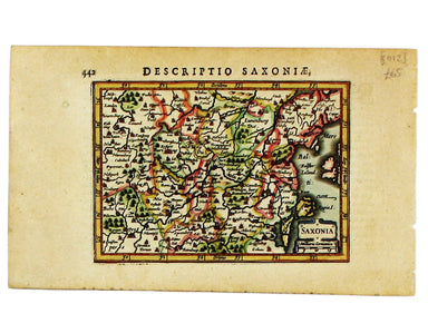
This miniature map of Saxony is from the first edition of Tabularum geographicarum contractarum libri, a geographical work which is normally catalo...
View full details
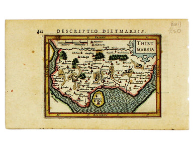
Thus miniature map of Dithmarschen in Holstein, flanked by the Eider and the Elbe isfrom the first edition of Tabularum geographicarum contractarum...
View full details
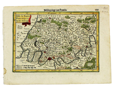
This map of Île-de-France, the Paris region north of the Seine, is from the Atlas Minor. The original plates were engraved by Jodocus Hondius, but ...
View full details
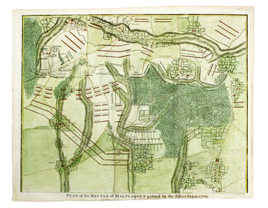
Plan of the Battle of Malplaquet gained by the Allies Sep. 11 1709 Marlborough’s bloodiest victory was often regarded as pyrrhic even by contempora...
View full details

Plan of Cardona, a strong City and Castle of Catalonia, upon the River Cardoner as besieged by the French and defended by the Allies This plan of t...
View full details
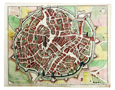
Mechelin, or Malines, the Capital of one of the ten Provinces of the Netherlands in Brabant This map of Mechelen was engraved by James Basire and p...
View full details
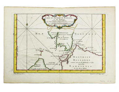
Carte du Dètriot de Waeigats, ou de Nassau This is map of the Yugorsky Strait in the Arctic Sea, separating Vaygach Island from the mainland. It il...
View full details
