Faden’s Sea Atlas of the French Coast
SKU: 9275
Title:
Faden’s Sea Atlas of the French Coast
Date of publication:
Binding:
Publisher:
Author:
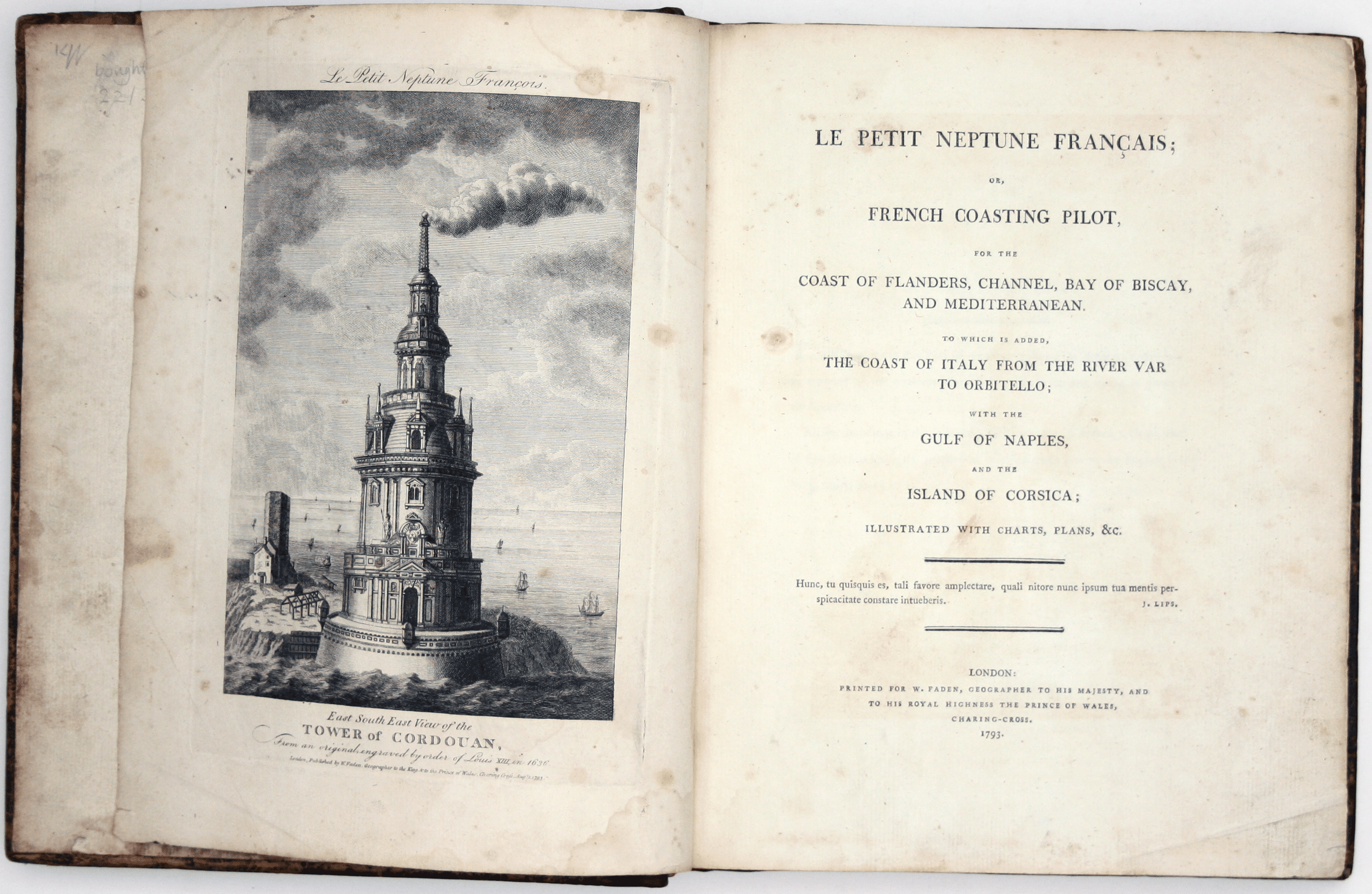
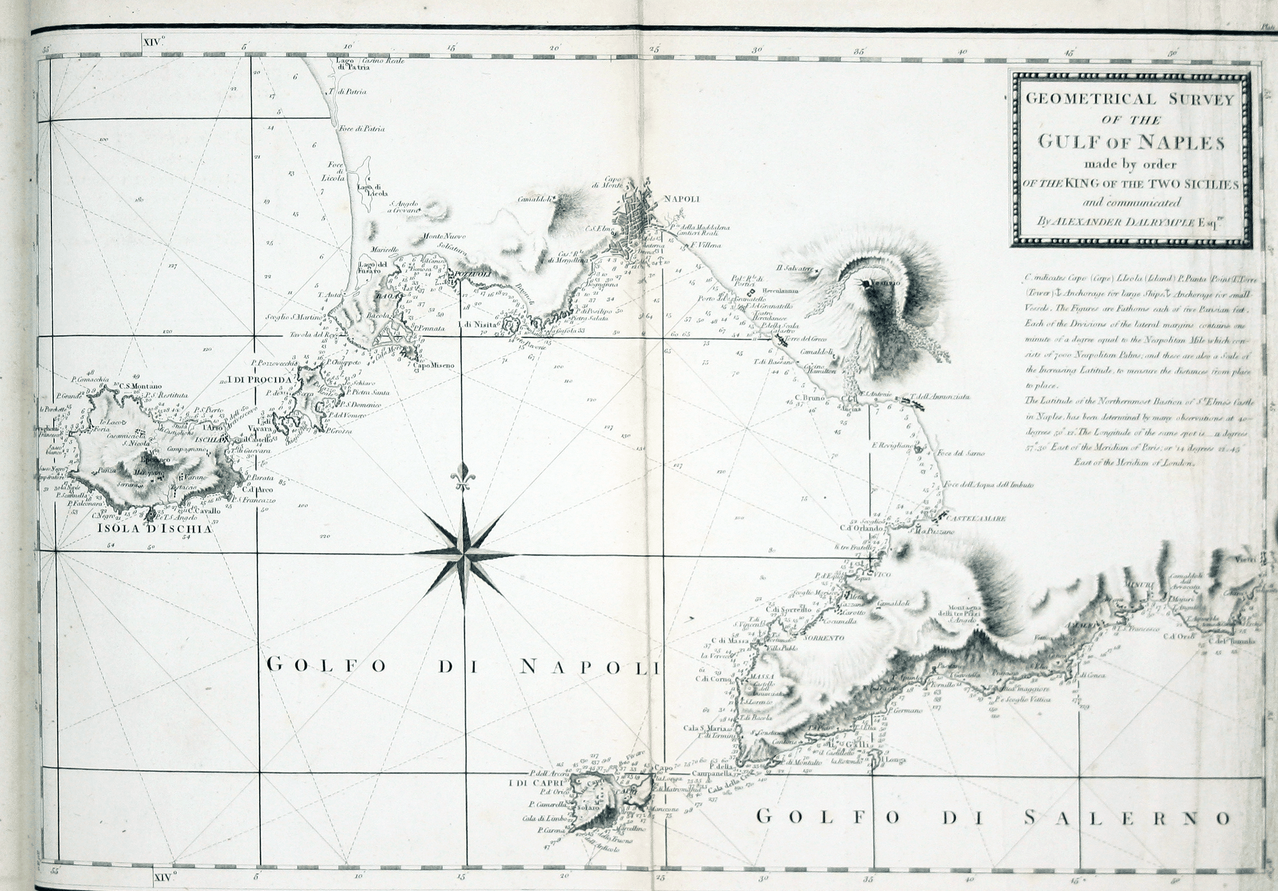
Faden, William: Le Petit Neptune Français; or, French Coasting Pilot, for the Coast of Flanders, Channel, Bay of Biscay, and Mediterranean. To which is added, the Coast of Italy from the River Var to Orbitello; with the Gulf of Naples, and the Island of Corsica; illustrated with charts, plans, &c. London: printed for W. Faden, 1793
This atlas is an adaptation of ‘Le petit flambeau de la mer’ by the 17th century French map-maker Georges Boissaye du Bocage. Thomas Jefferys published an English version of the atlas with ‘large improvements’ in 1761, which was a step towards improving the reliability of charts of the French coast available to the Royal Navy during the Seven Years’ War. Read more
A second edition appeared in 1774 under the joint imprint of Jefferys and William Faden; the elder Jefferys died in 1771, deeply in debt, and his son, the younger Thomas Jefferys, went into partnership with William Faden, then a young man himself.
By the 1790s Faden was firmly established in his own right, and the outbreak of war with Revolutionary France provided the impetus for a new edition. According to the map historian and bibliographer Rodney Shirley, ‘many of the charts in Faden’s Le Petit Neptune follow those in Thomas Jeffery’s atlas of the same name of thirty years’ earlier. They are however newly engraved with Faden’s imprint… and a plate number in the upper right corner’.
The book’s earliest recorded owner, acclaimed sculptor Anne Seymour Damer (1748-1828), would have found it a useful travelling companion. Damer enjoyed the wealth and social status to travel with relative freedom, even in wartime. She moved in aristocratic Whig circles – she was a close friend and supporter of Charles James Fox – and her art reflected her political beliefs as well as her fascination with classical antiquity. Admired and encouraged by David Hume and Horace Walpole, she became Britain’s first famous woman sculptor, the object of satirical attacks as well as critical recognition.
Walpole introduced her to the Berry sisters, and bequeathed her Strawberry Hill (where she was living for at least some of the time that this atlas was in her possession). She travelled to Paris with Mary Berry during the peace of Amiens in 1802, where she met Napoleon and presented him with her busts of Fox and Nelson, but our atlas would have been of limited use for a short hop across the Channel. However, it covers the Italian coastline as far south as Naples, which Anne had first visited in 1780.
The Oxford Dictionary of National Biography suggests she travelled there again in 1798, where she met Nelson through her old friend Sir William Hamilton and his wife Emma. A recent biographer (Jonathan David Gross, ‘The Life of Anne Damer’ 2013, p. 286) questions whether she returned to Naples in 1798 or met Nelson in London sometime after his arrival there in November 1800. However, Damer’s ownership of this 1790s atlas supports the idea of extended continental travel in this period. Nelson certainly sat for her (she complained that he kept moving his head and claimed that hers was the only bust of Nelson sculpted from life) and he gave her the coat which he had worn at the Battle of the Nile in August 1798.
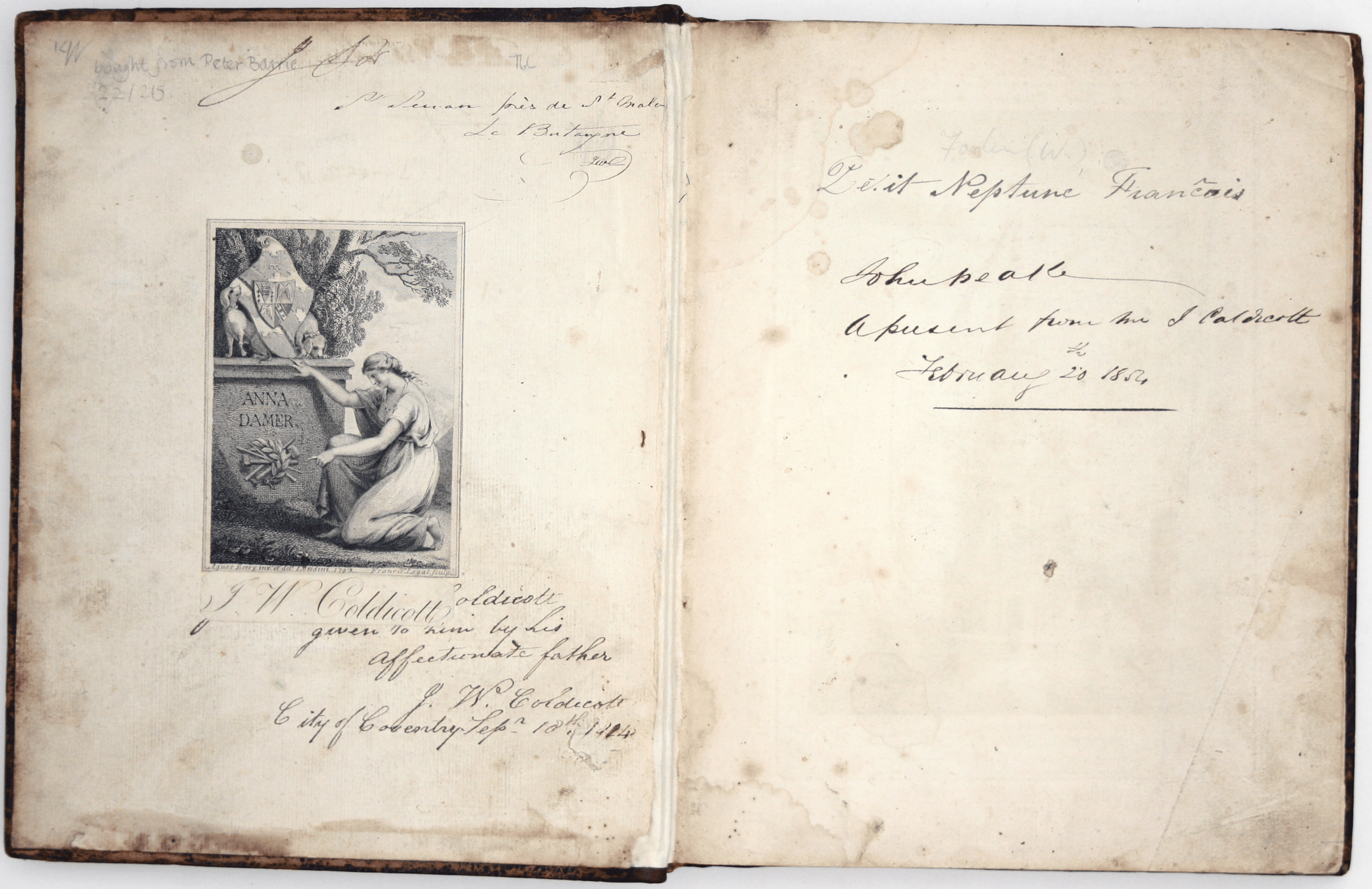
Damer's pictorial bookplate, dated 1793, was engraved by Francis Legat (1755-1809) and designed by the painter Agnes Berry, whose sister Mary was one of Damer’s closest friends. Above the bookplate is an early inscription: ‘Saint Servan près de St Malo, le Bretagne, JWC’; Saint Servan is two miles from St Malo in Brittany, effectively the affluent residential suburb of a busy port with strong trade links to India.
JWC was the John Waters Coldicott of Coventry who wrote his name on the rear endpaper. John Waters Coldicott also appears to be responsible for adding co-ordinates of the Saint Malo light by hand on page xv. Here we have to speculate, but he seems likely to have been engaged in an Anglo-French business venture.
Beneath Anne Damer’s bookplate on the front pastedown is an 1824 inscription by Coldicott presenting the book to his son, also JW Coldicott, whose printed book label partially obscures it. By this time he was back in Coventry; by 1825 he had become a silk dyer. A final inscription of the front endpaper records Coldicott junior’s gift of the book to one John Peake in 1854.
Condition & Materials
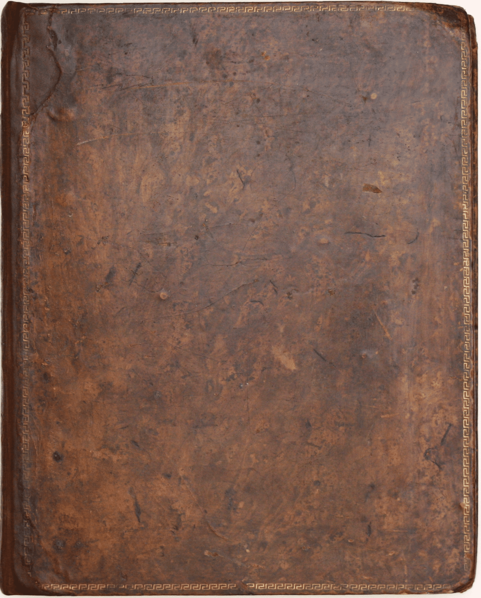
4to. pp. xvi, 147, [ix] + 43 leaves of plates (40 folding) engraved by Benjamin Baker, Ebenezer Bourne and Thomas Foot, comprising: frontispiece of the Tour de Cordouan, the oldest lighthouse in France; two single page and 37 folding charts, and 3 folding plates of coastal profiles. Some spotting, light creases and general dustiness, mostly marginal. Contemporary tree calf with Greek key pattern border tooled in gilt on the covers, some wear, rebacked, retaining original spine.
References
ESTC T96575
Shirley, Maps in the Atlases of the British Library, M.FAD-1a. Read less


